- Chitkul
-
Chitkul
Chitkul
— village — Coordinates 31°21′07″N 78°26′13″E / 31.3518411°N 78.4368253°ECoordinates: 31°21′07″N 78°26′13″E / 31.3518411°N 78.4368253°E Country India State Himachal Pradesh District(s) Kinnaur Nearest city Rampur, Himachal Pradesh Population 800 (2010[update]) Time zone IST (UTC+05:30) Area
• 3,450 metres (11,320 ft)
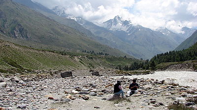
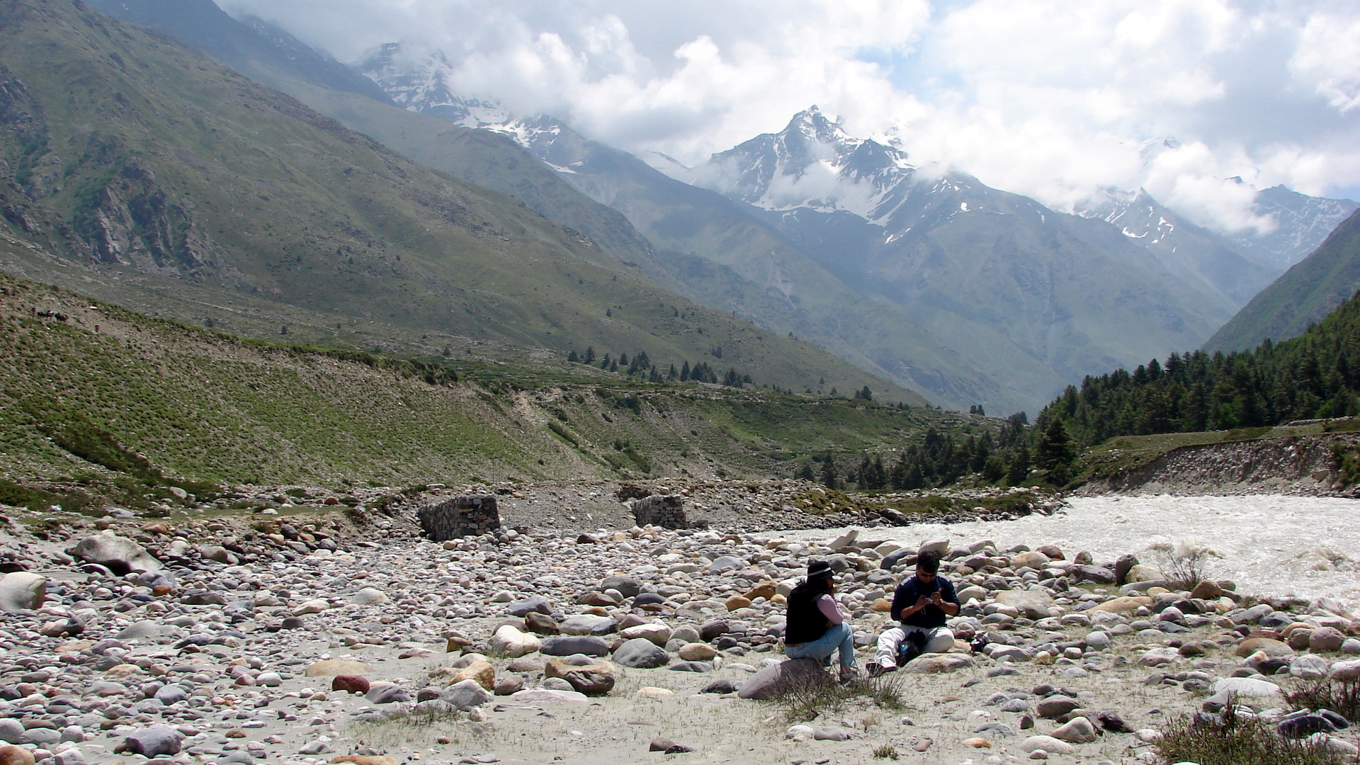
Chitkul is the last inhabited village near the Indo-Tibet border; the Indian road ends here. During winters the place remains covered with the snow mostly & these people move to the lower areas of Himachal. Potatoes grown at Chittkul are one of the best in the world and are very costly. Chittkul, on the banks of Baspa River, is the first village of the Baspa Valley and the last village on the old Hindustan-Tibet trade route. It is also the last point in India one can travel to without a permit. Of particular interest at Chitkul are its houses with either slate or wooden plank roofs, a Buddhist temple and a small tower. However, there has been an increased use of tin-roofs, especially the high school and the army/ITBP barracks.
The Kagyupa temple has a highly valued old image of the Shakyamuni Buddha, a Wheel of Life mandala and four Directional Kings on either side of the door. Chitkul is practically the last point of the famous Kinner Kailash Parikrama as one can hitch a hike from here onwards. After one crosses over the 5,242 m high Charang Pass, it is a long and steep run down through slithery scree slopes to Chitkul (3,450m). The powerful goddess of Chitkul is the only non-Buddhist deity to which respect must be paid by the Parikrama pilgrims. It is believed that the local Deity is related to the Deity of Gangotri and till recently the locals would carry the Deity to Gangotri on foot over high mountain passes. Chitkul is situated around 40 km from Karcham, the place where road bifurcates from Hindustan-Tibet road (NH 22). The Sangla Valley is a delight for nature lovers; especially the stretch after Raksham and right up to Chitkul. The valley is extremely beautiful, on the left bank of the Baspa River are snow-clad mountains and on the right bank the whole terrain is full of apple orchids and wooden houses.
Chhitkul is around 750 km from the National capital Delhi and 24 km from Sangla. This is the last Indian village on border with China. The road doesnt take you till the actual border, it closes around 90 km before it and then rest of the area is under the control of Indian Paramilitary force ITBP. There are wooden houses turned into hotels that can be found in Chhitkul, these hotels are a bit expensive and most of the tourist prefer to stay at Sangla and make a day trip to this place. Sangla is close to Chhitkul and hotels and camps provide very good arrangement for living and are comparatively cheaper. While in Chhitkul make sure you carry adequate cash and petrol or diesel for your car with you as there is no ATM facility or fuel stations in this hilly area. There is also neither a clinic nor any hospital in this area and one has to travel back to Sangla for emergencies. Chitkul is very cold and windy and the road normally closes down around November after the first snowfall.
 Chitkul
External links
Categories:- Tourism in Himachal Pradesh
- Kinnaur
- Villages in Kinnaur district
- Himachal Pradesh geography stubs


Wikimedia Foundation. 2010.