- Slatersville, Rhode Island
Infobox_nrhp | name =Slatersville Historic District
nrhp_type = hd

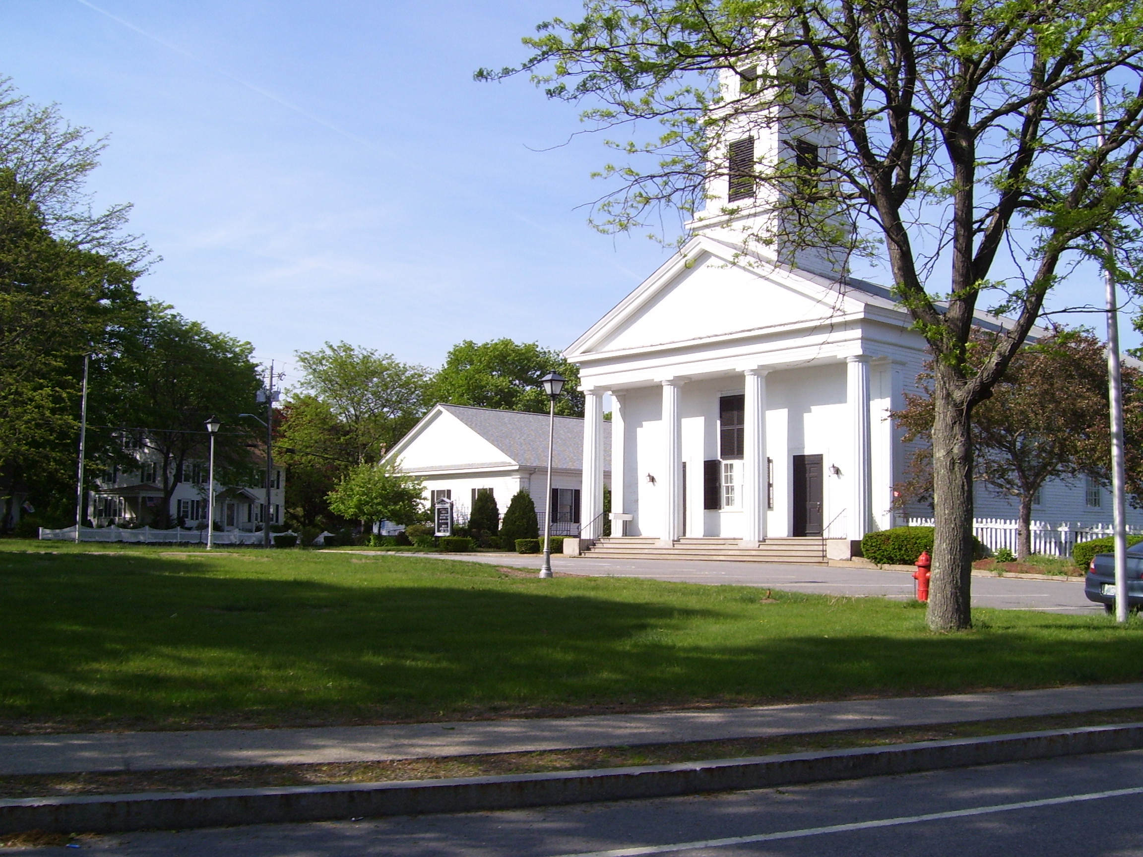
caption = Slatersville Green and the Congregational Church
location=Slatersville, Rhode Island
locmapin = Rhode Island
area =
built =1805
architect= Unknown
architecture= Greek Revival
added =April 24 ,1973
governing_body = Local
refnum=73000002cite web|url=http://www.nr.nps.gov/|title=National Register Information System|date=2007-01-23|work=National Register of Historic Places|publisher=National Park Service]Slatersville is a village and
historic district in North Smithfield,Rhode Island ,United States on the Branch River. Slatersville was affiliated with and named afterSamuel Slater andJohn Slater (industrialist) .History
The region was originally settled in the 1600s by British colonists as a farming community. The village was founded in 1803 by entrepreneurs,
Samuel Slater andJohn Slater (industrialist) , in partnership with the Providence firm ofAlmy and Brown . The firm purchased the land and began construction of a textile mill. By 1807, the village included the Slatersville Mill, "the largest and most modern industrial building" of its day, two houses for workers, the owner's house and the company store. When the first mill building was destroyed by fire in 1826, it was replaced by the large stone mill which stands on the site today. Behind the 1826 mills stands a stone mill of similar design built in 1843. The mills were powered by water from the large Slatersville reservoir.Slatersville Green was laid out in 1838 in a traditionalNew England pattern. Many of the houses around the Green were built by the Slater company in 1810-20. They were substantially renovated earlier in the twentieth century to make Slatersville look more like a traditional New England Village. At the head of the Green stands the Slatersville Congregational Church, a steepled Greek revival building, which houses the oldest continuously operated Sunday School in America. The Slater family owned the village until 1900 when it was sold toT.R. Hoope who used the mills to bleach and dye cloth. In 1915, Hoope sold the Slatersville toHenry P. Kendall . Kendall took a personal interest in the village and initiated many of the improvements which give Slatersville its traditional New England character. Today, Slatersville is now owned by private individuals and in 1973 it became a National Historic District, bounded by Main, Green, Church, and School Sts. and Ridge Rd., with 3100 acres, 149 buildings.See also
*
List of Registered Historic Places in Providence County, Rhode Island Further reading
*"History You Can See - Scenes of Change In Rhode Island 1790-1910" written by Hadassah Davis and Natalie Robinson and published by the League of Rhode Island Historical Societies, Providence, 1986.
*"Working Water - A Guide to the Historic Landscape of the Blackstone River Valley" published by the Rhode Island Department of Environmental Management and the Rhode Island Parks Association, 1987.
*Walter Nebiker, "The History of North Smithfield" (Somersworth, NH: New England History Press, 1976).References
External links
* [http://www.woonsocket.org/slatersville.htm Slatersville Site]
* [http://www.nationalregisterofhistoricplaces.com/RI/Providence/districts.html National Historical Register Information]
Wikimedia Foundation. 2010.
