- Churchover
-
Coordinates: 52°25′11″N 1°14′34″W / 52.419688°N 1.242643°W
Churchover
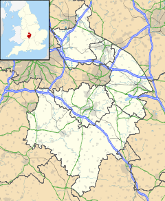
 Churchover shown within Warwickshire
Population 230 (2001) OS grid reference SP5180 Parish Churchover District Rugby Shire county Warwickshire Region West Midlands Country England Sovereign state United Kingdom Post town RUGBY Postcode district CV23 Dialling code 01788 Police Warwickshire Fire Warwickshire Ambulance West Midlands EU Parliament West Midlands UK Parliament Rugby and Kenilworth List of places: UK • England • Warwickshire Churchover is a small village and civil parish in Warwickshire, England. The population of the parish in the 2001 census was 230.
It is located around 4 miles (7 km) north of Rugby, and is administratively part of the borough of Rugby.
The village lies just west of the A426 road, and just north of the M6 motorway.
Within the parish boundaries is Coton House: A mansion house dating from 1787, now used as a business training school.
The village contains the Holy Trinity Church which dates partly from the 15th century.
References
- Allen, Geoff, (2000) Warwickshire Towns & Villages, ISBN 1-85058-642-X
External links
Categories:- Villages in Warwickshire
Wikimedia Foundation. 2010.

