- Mount Hopkins (California)
-
Mount Hopkins 
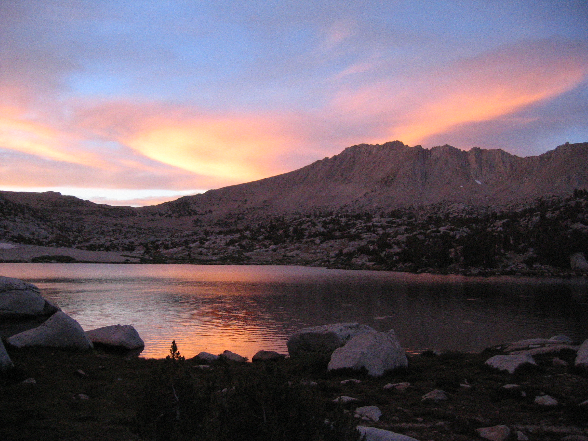
Mount Hopkins over Pioneer Basin, sunsetElevation 12,304 ft (3,750 m) NGVD 29[1] Location Location Fresno County, California, USA Range Sierra Nevada Coordinates 37°27′50″N 118°48′46″W / 37.4638238°N 118.8129018°WCoordinates: 37°27′50″N 118°48′46″W / 37.4638238°N 118.8129018°W[2] Topo map USGS Mount Abbot Climbing First ascent 1934 by David Brower, Norman Clyde, and Hervey Voge [3] Easiest route Hike from the east [3] Mount Hopkins is in the John Muir Wilderness north of Kings Canyon National Park. It is one of four peaks that surround Pioneer Basin, 1.4 miles (2.3 km) south-southeast of Mount Crocker, 2 miles (3.2 km) west-southwest of Mount Huntington and 2 miles (3.2 km) southwest of Mount Stanford. The mountain was named for Mark Hopkins, one of the builders of the Central Pacific Railroad.[4]
References
- ^ USGS. Mount Abbot quadrangle, California (Map). 1:24000. 7.5 Minute Topographic. http://www.topoquest.com/map.php?lat=37.463824&lon=-118.812902&datum=nad83&zoom=4. Retrieved 2009-08-11.
- ^ "Mount Hopkins". Geographic Names Information System, U.S. Geological Survey. http://geonames.usgs.gov/pls/gnispublic/f?p=gnispq:3:::NO::P3_FID:261461. Retrieved 2008-12-22.
- ^ a b Voge, Hervey H.; Andrew J. Smatko (1972). Mountaineer's Guide to the High Sierra. San Francisco: Sierra Club Books. p. 108. ISBN 978-0-87156-064-3.
- ^ Farquhar, Francis P. (1926). Place Names of the High Sierra. San Francisco: Sierra Club. http://www.yosemite.ca.us/library/place_names_of_the_high_sierra/h.html. Retrieved 2009-08-11.
Categories:- Mountains of Fresno County, California
- Mountains of the John Muir Wilderness
- Fresno County, California geography stubs
Wikimedia Foundation. 2010.