- Stanislaus National Forest
Infobox_protected_area | name = Stanislaus National Forest
iucn_category = VI
caption =
locator_x =
locator_y =
location =California ,United States
nearest_city =
lat_degrees =
lat_minutes =
lat_seconds =
lat_direction =
long_degrees =
long_minutes =
long_seconds =
long_direction =
area = 898,099 acres (3,634 km²)
established =February 22 ,1897
visitation_num =
visitation_year =
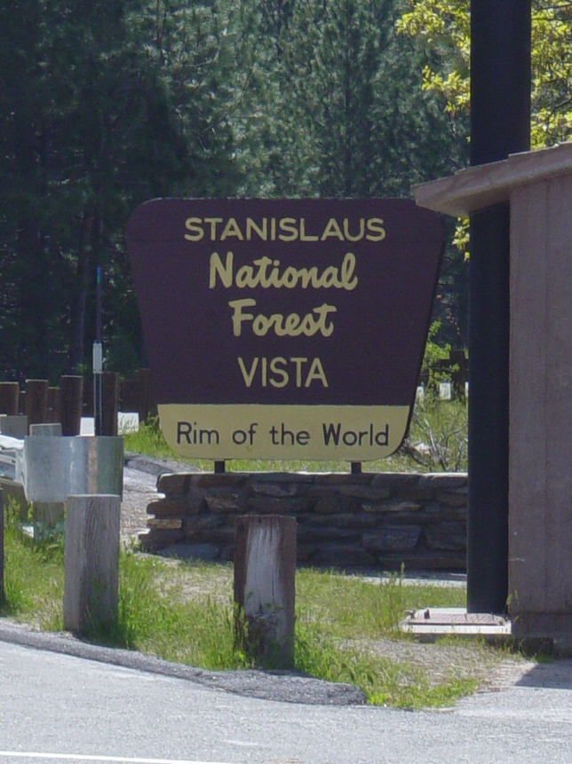
governing_body =U.S. Forest Service Stanislaus National Forest contains convert|898099|acre|sqmi km2|1|lk=on in four counties in the Sierra Nevada Mountains of Northern
California . It was established onFebruary 22 ,1897 , making it one of the oldest national forests. It was named after theStanislaus River . TheEmigrant Wilderness is located entirely within its boundaries. Portions of theCarson-Iceberg Wilderness , including theDardanelles Cone , and theMokelumne Wilderness are also within the Stanislaus National Forest. It is located primarily in eastern Tuolumne County, adjacent to the northwestern part ofYosemite National Park , but parts of it extend (in descending order of forestland area) into southern Alpine, northern Mariposa, and eastern Calaveras counties.It contains 78 lakes, and convert|811|mi|km|1 of rivers and streams. It has convert|1100|mi|km|1 of non-motorized trails, and convert|2859|mi|km|1 of roads, convert|188|mi|km|1 of which are paved.
The proximity of the Stanislaus National Forest to the
San Francisco Bay Area make it a popular recreation destination. The stunning volcanic and granite formations in thewilderness are somewhat marred by the heavy cattle grazing, a shock to many backpackers. Exceptional whitewaterrafting andkayaking can be found in the Wild and ScenicTuolumne River andCherry Creek . Other beautiful rivers flowing out of the Stanislaus include theClavey River theStanislaus River , and theMerced River along the southern boundary.Two ski resorts Dodge Ridge and Bear Valley operate here under a special use permit. Forest headquarters are located in
Sonora, California .ee also
*
Biology of the Sierra Nevada
*Calaveras Big Tree National Forest
*List of U.S. National Forests External links
* [http://www.fs.fed.us/r5/stanislaus/ Stanislaus National Forest official website]
Wikimedia Foundation. 2010.