- Douglas, Taranaki
-
Douglas 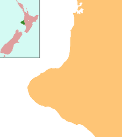
 Douglas
Coordinates: 39°18′22″S 174°27′58″E / 39.30611°S 174.46611°E Country New Zealand Region Taranaki District Stratford District Douglas is a lowly populated locality[1] and a rural centre in east Taranaki, surrounded by dairy, sheep and beef pastoral farming. It is situated 18 km east of Stratford at the intersection of East Road, Ohura Road, Douglas Road South and Bredow Road. East Road and Ohura Road meet to form State Highway 43, linking Stratford to the King Country town of Taumarunui. The Stratford - Okahukura Line, a secondary railway line, runs through Douglas where it veers north-east and away from the state highway for approximately 20 km.
Contents
Geography
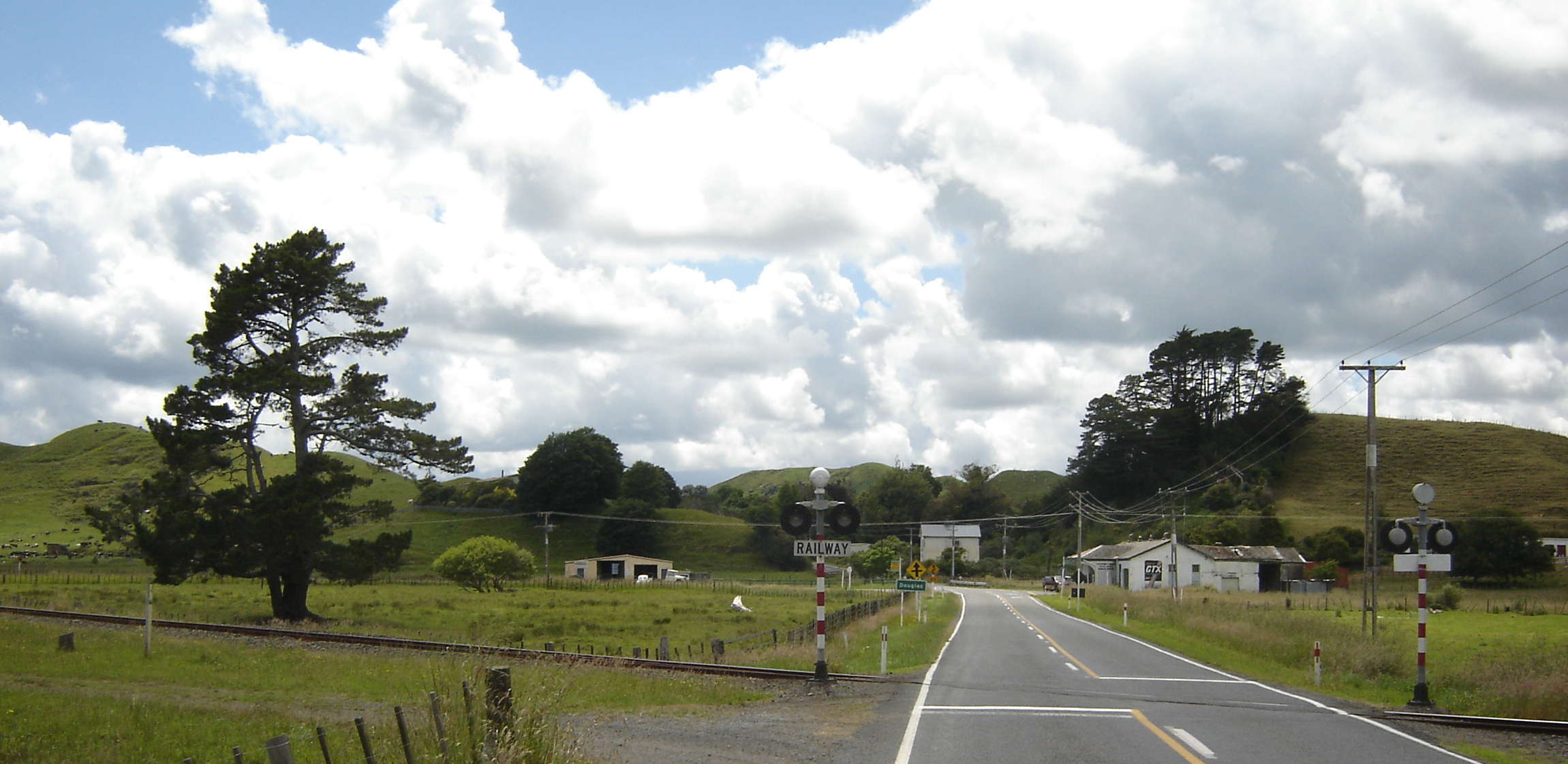
 The entrance to Douglas from the west with the Stratford - Okahukura Line railway crossing State Highway 43 in the foreground (December 2007).
Douglas is centred on the Toko Stream adjacent to a small saddle crossed by Ohura Road to the east. The wider locality takes in State Highway 43 from Gordon Road in the west to Mangaotuku Road in the east.
The reclaimed swamplands of the upper Toko valley are the dominant geographic feature, running from the north to the south-west of Douglas, at approximately 200m above sea level. Sandstone/greywacke ridges rise to between 300-370m altitude on each side of the valley floor. Peaks include Tarerepo trig to the north-east (366m altitude), Oruru trig to the south-east (329m) and Makuri trig to the south (327m). Crown Road provides access to farms below the Makuri trig, Bredow Road to farms below the Oruru trig, and Douglas Road to farms in the upper end of the valley (Tarerepo trig). Douglas Road links Douglas to Huiroa, Te Popo, Kiore and Matau.
East of Douglas State Highway 43 (Ohura Road) crosses the Douglas Saddle into the Makuri Valley, which runs parallel to the Toko at approximately 175m above sea level. This is also predominantly reclaimed swamp, while adjoining ridges rise with considerable precipitousness. Walter Road gives access to Makuri valley farms to the north of the main road.
History
Douglas, called Oruru by Maori after the native owl, is said to have been named for a member of the Crown's surveying party. The settlement and its hinterland was opened up and cleared for pastoral farming at the turn of the 20th century. A hall was established in 1905 and a primary school in 1906. Through the first half of the century Douglas was a lively village with a productive brick kiln, a milk factory, a railway station, a store, a church, and a number of other businesses. In the 1930s the Douglas saleyards had the greatest turnover of all Taranaki saleyards, particularly in Jersey cattle for cream and cheese production. The Douglas Boarding House, which still stands today, served as an important stopping point for those making the long and treacherous journey east to Whangamomona or Taumarunui.[2]
Like other rural settlements, Douglas went into decline in the mid-to-late 20th century. Its primary school closed at the end of 2005 in its 100th year, and pupils were transferred to nearby Toko School. The community hall and tennis courts remain in the possession of the community.
Douglas Area Unit
Douglas lends its name to the census area unit of Douglas, which takes in those localities within the Patea and Waitara river catchments to the east of Toko, also including Strathmore, Huiakama, Te Wera, Pohokura, Huiroa, Kiore, Matau, Tututawa, Puniwhakau and Makahu. The 2006 census recorded a total of 792 people usually resident in this area, down 7.4% (63 people) on the 2001 census. The area has a comparatively young population, with 25.8% of people being under 15 years of age according to the 2006 census. The population is also very ethnically homogenous, with 84.8% identifying as New Zealand European. 7.8% also identify as Maori, and 0.8% as "other".[3]
Residents of Douglas
- David Walter (1939), Chairman of Taranaki Regional Council, Mayor of Stratford District Council, Chairman of Stratford County Council
- Alan Smith (1942), All Black & Taranaki Rugby Football Representative
References
- ^ "Place Name Detail: Douglas". New Zealand Geographic Placenames Database. Land Information New Zealand. http://www.linz.govt.nz/placenames/find-names/topographic-names-db/database/index.aspx?p=26633. Retrieved 7 April 2007.
- ^ Church, Ian (1990), The Stratford Inheritance. Heritage Press Ltd., Waikanae, New Zealand.
- ^ Quickstats about Douglas
Further reading
- Douglas settlement: district and school jubilee, 1911-1962, held at Douglas, Saturday, 11 January 1963, Douglas, [N.Z.] ; Waimate, [N.Z.]: Jubilee Committee ; Waimate Publishing, 1963
- Golden jubilee 1906-1956 of the Douglas School: a short history of the school and district, Douglas, [N.Z.] ; New Plymouth, [N.Z.]: Jubilee Committee ; Taranaki Daily News, 1956
- Walter, David (1981), Douglas: a Taranaki rural community, Stratford, [N.Z.]: Douglas School 75th Jubilee Committee
Categories:- Populated places in New Zealand
- Stratford District

Wikimedia Foundation. 2010.