Millers River (Rhode Island)
- Millers River (Rhode Island)
-
The Millers River is a river in the U.S. state of Rhode Island. It flows approximately 3 km (2 mi). There are no dams along the river's length.
Course
The river rises from an unnamed pond along Bear Hill Road in Cumberland and flows due south to its confluence with Abbott Run at Robin Hollow Pond.
Crossings
Below is a list of all crossings over the Millers River. The list starts at the headwaters and goes downstream.
- Cumberland
- Bear Hill Road
- Oakledge Road
- Curran Road
Tributaries
The Millers River has no named tributaries, though it has many unnamed streams that also feed it.
See also
- List of rivers in Rhode Island
References
Wikimedia Foundation.
2010.
Look at other dictionaries:
Clear River (Rhode Island) — The Clear River is a river in the U.S. state of Rhode Island. It flows approximately 10.1 miles (16.3 km).[1] There are five dams along the river s length.[2] Contents 1 Course 2 Crossings … Wikipedia
Millers River — For the river in Rhode Island, see Millers River (Rhode Island). For the former river in eastern Massachusetts, see Millers River (Middlesex). Millers River Millers River at Athol, Massachusetts Origin … Wikipedia
List of rivers of Rhode Island — This is a list of rivers in the U.S. state of Rhode Island. All rivers eventually empty into the Atlantic Ocean. Because of that, this list is sorted by rivers that either empty directly into the Atlantic or have a mouth that is somewhere other… … Wikipedia
Liste der Flüsse in Rhode Island — Die Liste der Flüsse in Rhode Island gibt einen Überblick über alle Flussläufe in dem US amerikanischen Bundesstaat. Alle hier aufgeführten Flüsse münden direkt oder indirekt in den Atlantischen Ozean. Inhaltsverzeichnis 1 Flüsse ohne Zuflüsse 2… … Deutsch Wikipedia
Moshassuck River — The Moshassuck River at the North Burial Ground in Providence. View is downstream as the river is about to head into a concrete channel underneath Interstate 95. The Moshassuck River is a river in the U.S. state of Rhode Island. It flows 8.9… … Wikipedia
Chipuxet River — The Chipuxet River is a river in the U.S. state of Rhode Island. It flows approximately 8.5 miles (13.7 km).[1] There are two dams along the river s length.[2] The river is used as the main drinking water supply for the University of Rhode… … Wikipedia
Chockalog River — Coordinates: 41°59′45″N 71°41′24″W / 41.99583°N 71.69°W / 41.99583; 71.69 … Wikipedia
Congdon River — The Congdon River is a river in the U.S. state of Rhode Island, in the Big River State Management Area and immediately south. It flows approximately 3 km (2 mi). There three dams along the river s length, at Rathbon Pond, Money Swamp Pond, and at … Wikipedia
Pettaquamscutt River — The Pettaquamscutt River (also known as Narrow River) is a tidal extension of the Mattatuxet River in the U.S. state of Rhode Island. It flows approximately 6.3 miles (10.1 km).[1] There are no dams along the river s length. Contents 1… … Wikipedia
Nooseneck River — The Nooseneck River is a river in the U.S. state of Rhode Island. It flows approximately 5.5 miles (8.9 km).[1] There are three dams along the river s length.[2] Contents 1 Course 2 Crossings … Wikipedia
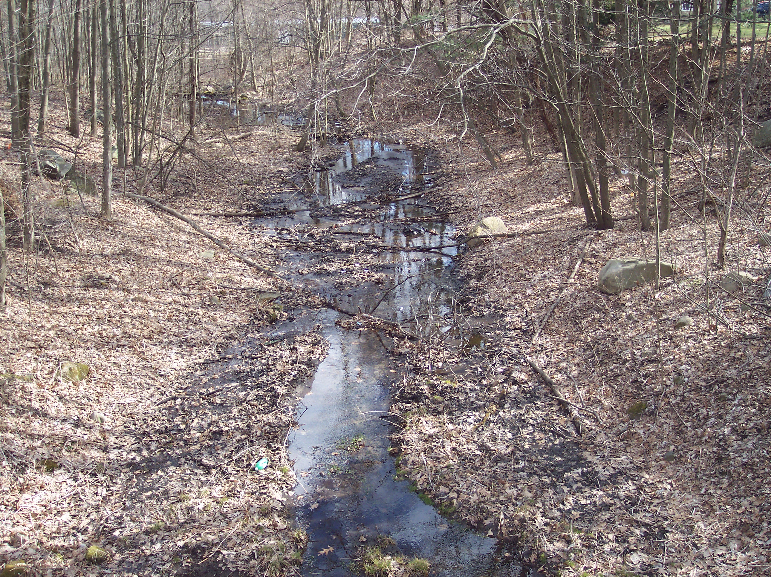
 The Millers River near its headwaters in Cumberland, Rhode Island.