- Marataízes, Espírito Santo
-
Marataizes — City — 

Flag
SealNickname(s): South Harbor Location of Marataizes in the State of Espirito Santo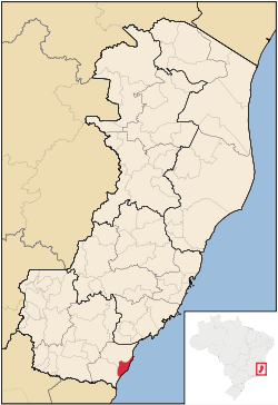 Location of Marataizes in the State of Espirito Santo
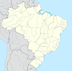
 Marataizes
Coordinates: 21°45′14″S 41°19′26″W / 21.75389°S 41.32389°W Country Brazil Region Southeast  Espírito Santo
Founded Janeiro 14, 1992 Government – Mayor Jander Nunes Vidal (PSDB) Area – Total 135.402 km2 (52.3 sq mi) Elevation 2 m (7 ft) Population (2010) – Total 33,351 (14th) – Density 246/km2 (637.1/sq mi) Time zone UTC-3 Postal Code 29345-000 Area code(s) +55 28 Website marataizes.es.gov.br Marataízes is the second major city located on the Atlantic coast in south state of Espírito Santo in Brazil and the fourteenth-most populous municipality in Espirito Santo state, with a population of 34,025 inhabitants. Marataízes is a tourist city with many beautiful beaches. In every holidays, such as summer school holidays, the city attracts many people from several parts of Brazil. People from many cities In Espirito Santo state and others states like Rio de Janeiro, Minas Gerais, São Paulo, Mato Grosso do Sul and Brasilia comes to enjoy the city.
Marataízes has a population of 34,025 inhabitants as the report of IBGE 2010 census. But in summer holydays its population surpass 100,000 people.
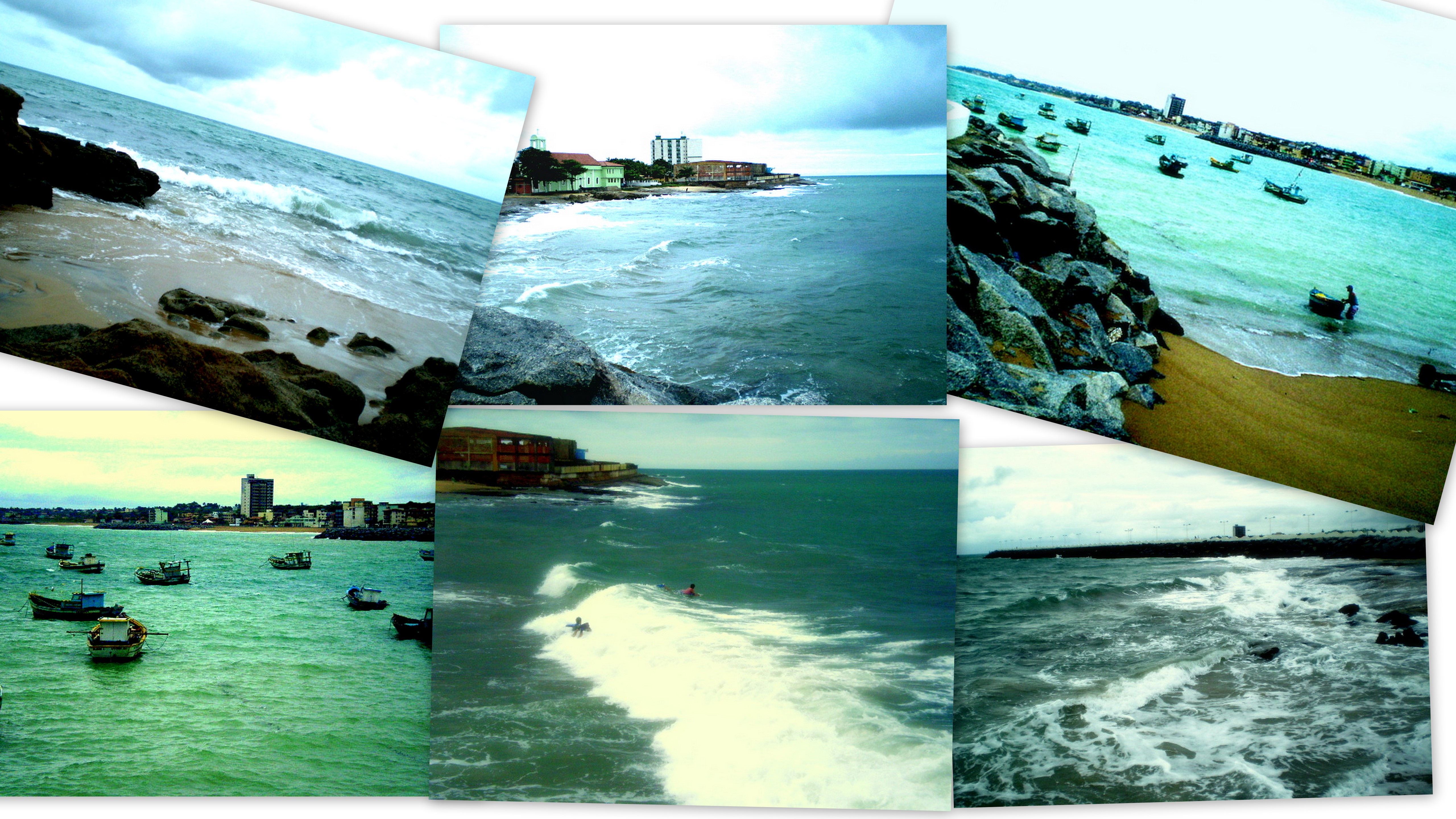
Gallery


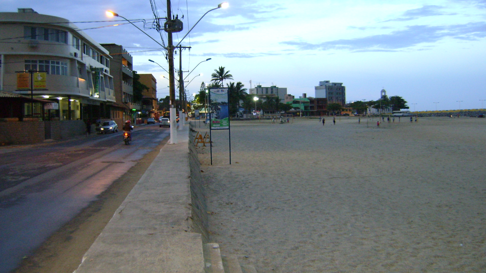
 A commum day in Marataizes
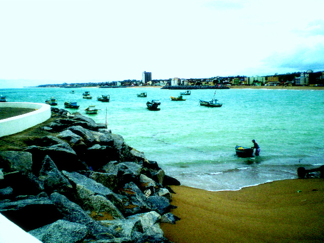
 Fishing boats
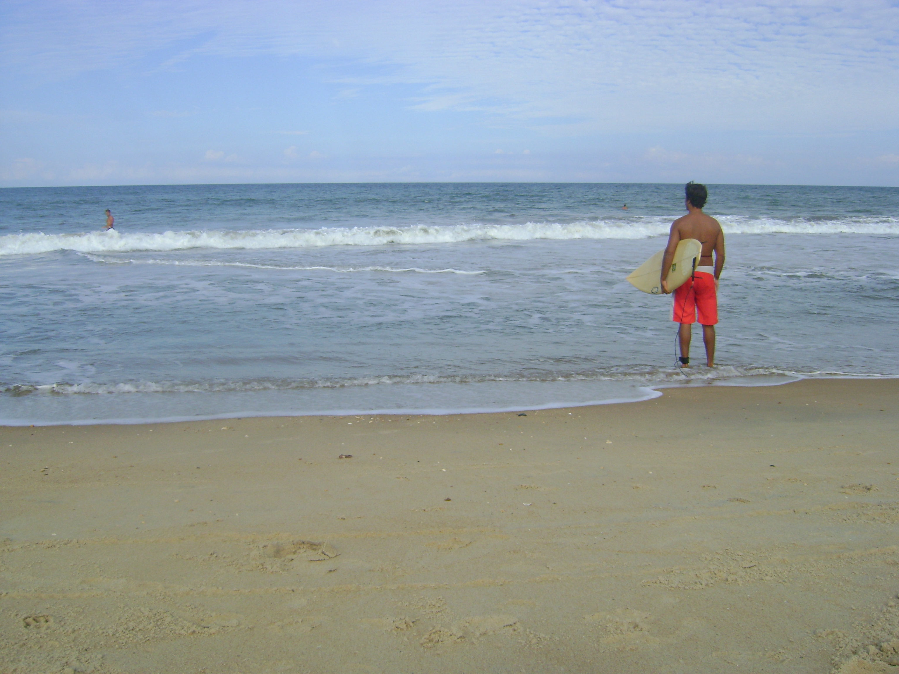
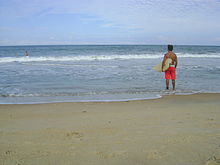 Surfer in a local beach.
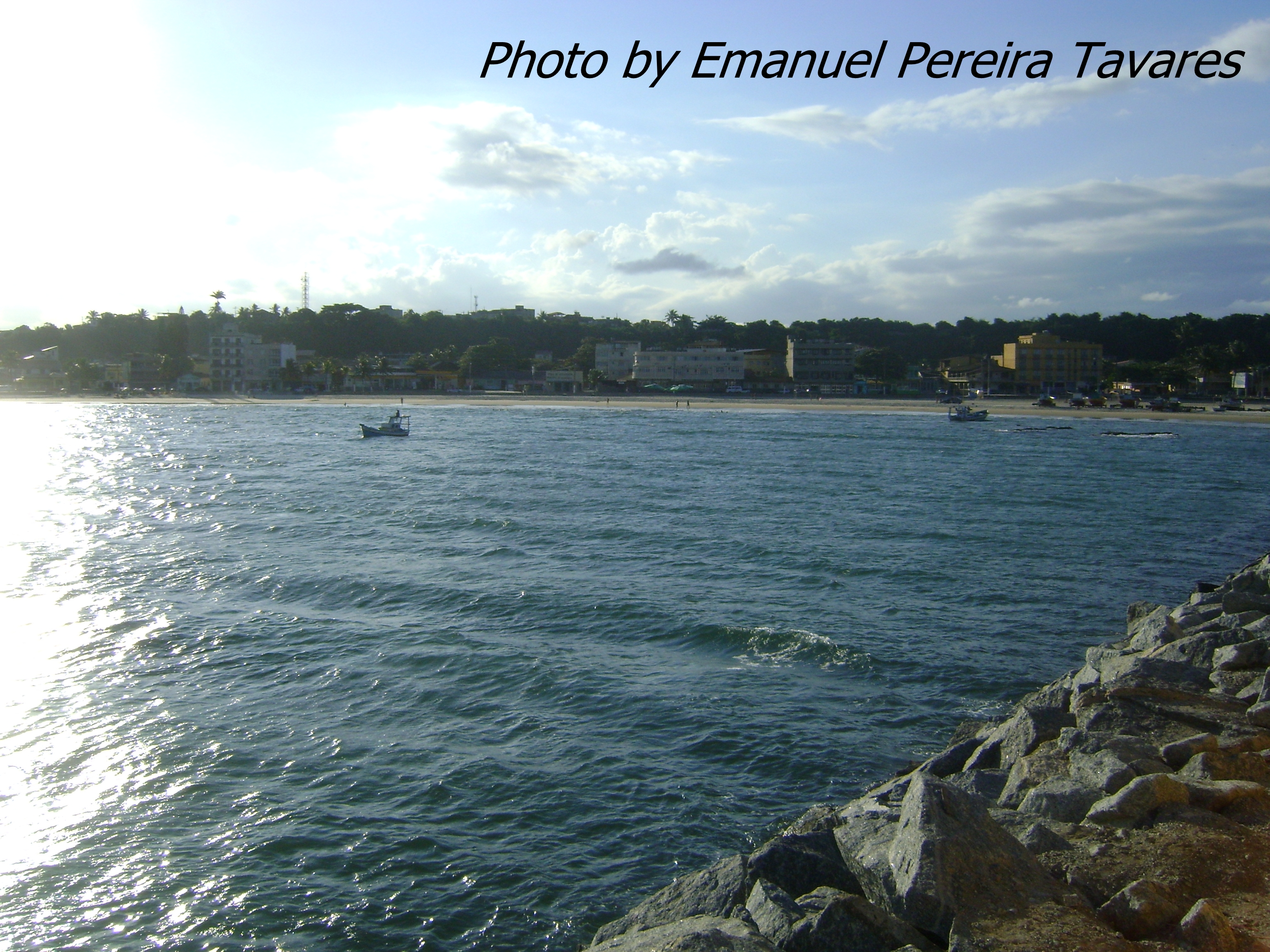
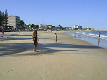 Main beach.
 Ending day after rain.
References
 Municipalities of Espírito SantoCapital: Vitória
Mesoregion Central Afonso CláudioGuarapariSanta TeresaVitória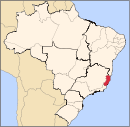
Mesoregion Litoral Norte LinharesMontanhaSão MateusMesoregion Noroeste Barra de São FranciscoColatinaNova VenéciaMesoregion Sul AlegreAlegre · Divino de São Lourenço · Dores do Rio Preto · Guaçuí · Ibatiba · Ibitirama · Irupi · Iúna · Muniz FreireCachoeiro de ItapemirimItapemirimCategories:- Municipalities of Brazil
- Populated coastal places in Espírito Santo
- Espírito Santo geography stubs


Wikimedia Foundation. 2010.