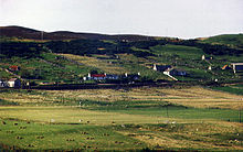
Melvich — MELVICH, a village, in that part of the parish of Reay which is in the county of Sutherland; containing 253 inhabitants. This village is pleasantly situated on the western bank of the river Halladale, near its influx into the bay of Bighouse,… … A Topographical dictionary of Scotland
A897 road — UK road routebox road= A897 length mi= length km= direction= South to north start= Helmsdale (gbmappingsmall|ND155601) destinations= end= Melvich (gbmappingsmall|NC898631) construction date= completion date= junctions= ukroadsmall|99… … Wikipedia
A836 road — The A836 road is entirely within the Highland area of Scotland, and 129 miles (208 km) long.It branches from the A9 near Tain and runs generally north through Bonar Bridge and Lairg, until Tongue. Between Lairg and Tongue the road is single track … Wikipedia
Reay — REAY, a parish, partly in the county of Sutherland, but chiefly in that of Caithness, 9½ miles (W. S. W.) from Thurso; containing, with the fishing villages of Melvich and Portskerray, 2811 inhabitants, of whom 1067 are in Sutherland, and 1744 … A Topographical dictionary of Scotland
Kinlochbervie — infobox UK place country = Scotland official name= Kinlochbervie gaelic name= Ceann Loch Biorbhaidh population = 480 (2001) os grid reference= latitude=58.46 longitude= 5.05 unitary scotland= Highland lieutenancy scotland= Sutherland constituency … Wikipedia
Thurso — This article refers to the town in Scotland. For the city in Canada, see Thurso, Quebec. For the Scottish businessman and Liberal Democrat politician, see John Thurso. infobox UK place country = Scotland official name= Thurso gaelic name= Inbhir… … Wikipedia
Durness — Coordinates: 58°34′N 4°45′W / 58.57°N 4.75°W / 58.57; 4.75 … Wikipedia
Light Railways Act 1896 — The Light Railways Act 1896 (59 60 Vict c. 48) of the Parliament of the United Kingdom defined a class of railways with the intention of enabling development of such railways without legislation specific to each line. A light railway is not a… … Wikipedia
Forss Water — Forss Water, known also as Forss River, has its source at the northern end of Loch Shurrey, at gbmapping|ND042568. About 13 kilometres north of its source the river flows into Crosskirk Bay and the Atlantic Ocean at gbmappingsmall|ND029700.… … Wikipedia
Digital switchover dates in the United Kingdom — Switchover not yet started … Wikipedia
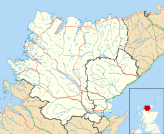
 Melvich shown within the Sutherland area

