- Old Woking
-
Coordinates: 51°18′08″N 0°32′18″W / 51.3022°N 0.5382°W
Old Woking 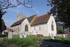
St Peters Church, Old Woking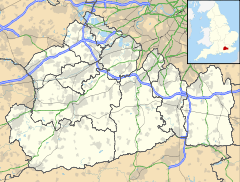
 Old Woking
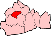
Old Woking shown within SurreyPopulation 2,644 [1] OS grid reference TQ020569 District Woking Shire county Surrey Region South East Country England Sovereign state United Kingdom Post town Woking Postcode district GU22 Dialling code 01483 Police Surrey Fire Surrey Ambulance South East Coast EU Parliament South East England UK Parliament Woking List of places: UK • England • Surrey  The Great Oak Door at St Peter's church
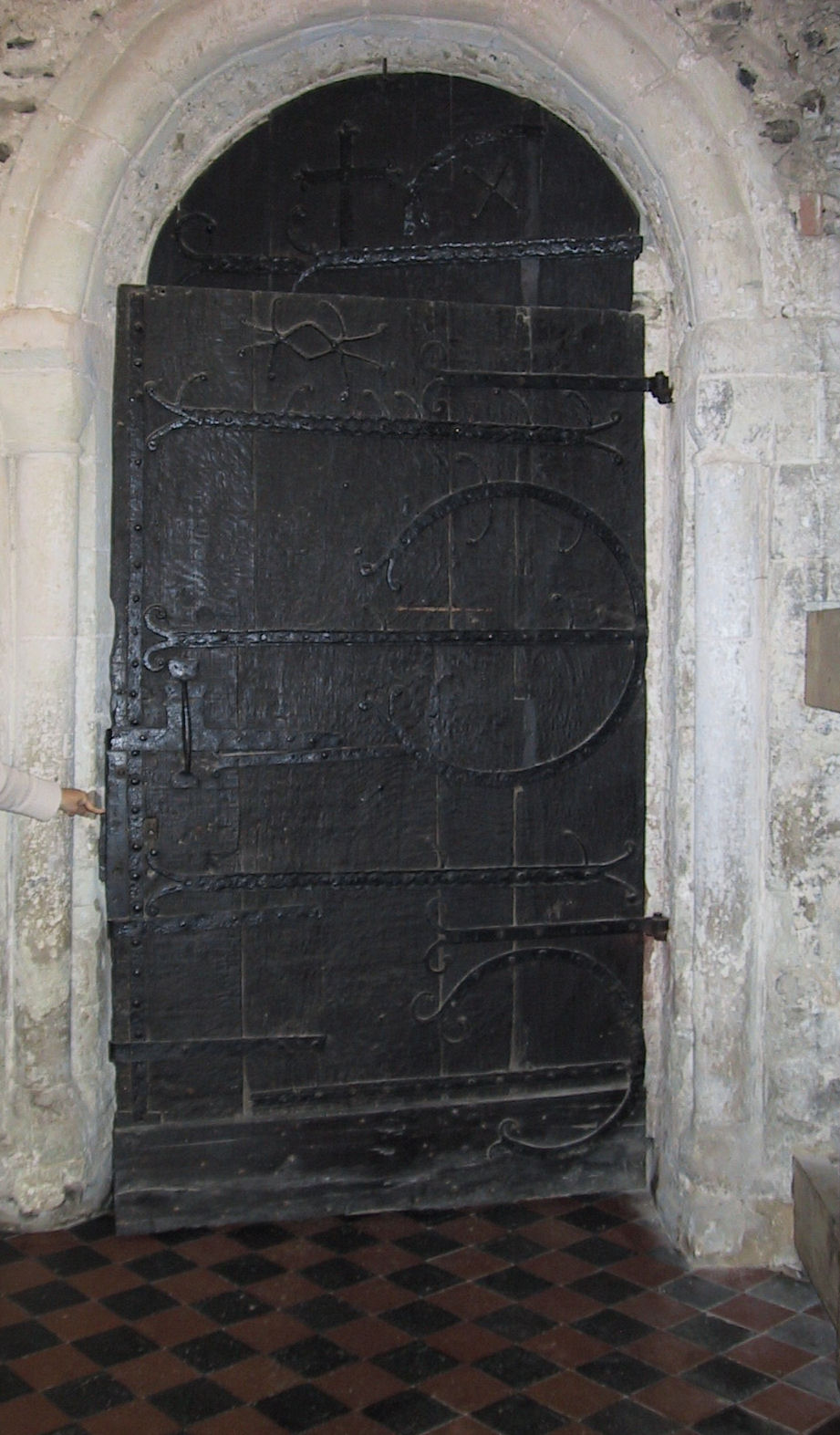
Old Woking is a former village now considered part of the town of Woking, Surrey, and is located 2.5 miles (4 km) to the southeast of Woking town centre. Woking Palace was important in the times of Henry VIII. The James Walker factory has been redeveloped into a dense residential housing estate. Hoebridge Preparatory School and Hoebridge Golf Course lie within Old Woking. The west door to St Peter's Church, Old Woking in Church Street is the oldest door in Surrey and probably the third oldest in the country having been dated by dendrochronology to the reign of Henry I. The four planks making up the door very likely came from a single tree which was over 270 years old when it was felled.The tree must have grown from an acorn which germinated in the reign of Egbert (802-39).
Dr Jane Geddes of the University of Aberdeen, in her book Medieval Decorative Ironwork in England has identified the door as one of only five picture doors in the country and the ironwork as medieval.The church is usually open after Easter in the summer months on Saturdays from 1 pm to 3 pm.
References
External links
Towns, villages and hamlets in the Woking District of Surrey, England  Brookwood · Byfleet · Castle Green · Horsell · Knaphill · Mayford · Mimbridge · Old Woking · Sheerwater · Sutton Green · Westfield · West Byfleet · WokingCategories:
- Villages in Surrey
- Woking


Wikimedia Foundation. 2010.