- Markstay-Warren, Ontario
Infobox City
official_name = Town of Markstay-Warren
other_name =
native_name =
nickname =
motto =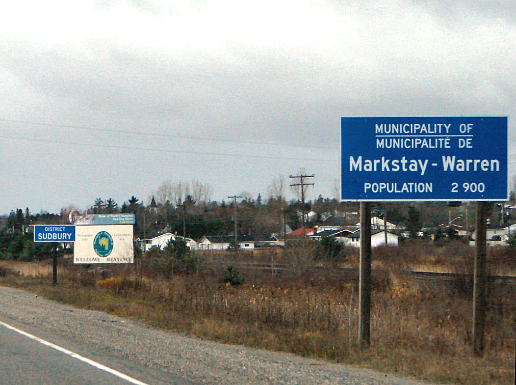
imagesize =
image_caption = Entering Markstay-Warren on Highway 17 westbound at Warren.
flag_size =
image_
seal_size =
image_shield =
shield_size =
image_blank_emblem =
blank_emblem_size =
mapsize =
map_caption =
pushpin_
pushpin_label_position =
subdivision_type = Country
subdivision_name =Canada
subdivision_type1 = Province
subdivision_name1 =Ontario
subdivision_type2 = District
subdivision_name2 = Sudbury
subdivision_type3 =
subdivision_name3 =
subdivision_type4 =
subdivision_name4 =
government_type = Town
leader_title = Mayor
leader_name = Jean-Marc Chayer
leader_title1 = Governing Body
leader_name1 = Markstay-Warren Town Council
leader_title2 =MP
leader_name2 =Raymond Bonin (LPC)
leader_title3 =MPP
leader_name3 =David Ramsay (OLP)
leader_title4 =
leader_name4 =
established_title = Incorporated
established_date = 1999
established_title2 =
established_date2 =
established_title3 =
established_date3 =
area_magnitude =
unit_pref =
area_footnotes =
area_total_km2 = 510.12
area_land_km2 =
area_water_km2 =
area_total_sq_mi =
area_land_sq_mi =
area_water_sq_mi =
area_water_percent =
area_urban_km2 =
area_urban_sq_mi =
area_metro_km2 =
area_metro_sq_mi =
population_as_of = 2006
population_footnotes =ref label|Stats_Canada|1|1(sc)
population_note =
settlement_type = Town
population_total = 2475
population_density_km2 = 4.9
population_density_sq_mi =
population_metro =
population_density_metro_km2 =
population_density_metro_sq_mi =
population_urban =
population_density_urban_km2 =
population_density_urban_mi2 =
timezone = EST
utc_offset = -5
timezone_DST = EDT
utc_offset_DST = -4
latd=
longd=
elevation_footnotes =
elevation_m =
elevation_ft =
postal_code_type =
postal_code =
area_code =705
website = [http://www.markstay-warren.ca/index.htm Municipality of Markstay-Warren]
footnotes =Markstay-Warren is a
town in the Canadianprovince ofOntario , located in the Sudbury District. Highway 17, from the city limits ofGreater Sudbury to the Sudbury District's border with Nipissing District, lies entirely within Markstay-Warren. The town had apopulation of 2,475 in theCanada 2006 Census .The town was created on
January 1 ,1999 by amalgamating the political townships of Ratter and Dunnet and Hagar, the geographic township of Awrey, and parts of the geographic townships of Hawley, Henry, Loughrin and Street. Along with the municipalities of St. Charles and French River, it is part of the region known asSudbury East .Communities
The town includes the communities of Appleby Corner, Callum, Dunnet's Corner, Hagar, Markstay, Rivière-Veuve, Stinson and Warren. Markstay is the location of the town's municipal offices.
Stinson, Callum, Hagar and Warren are all located directly on Highway 17, a branch of the
Trans-Canada Highway . Appleby Corner is located south of Hagar on Highway 535. The other communities are all located along local roads that branch off from one of these two highways.History
Much of the area owes its existence to the
Canadian Pacific Railway . Most settlers wereFrench-Canadian Roman Catholics who came by rail from the province ofQuebec .Shortly after the completion of the transcontinental line of the CPR in 1885, a station and community was established at Veuve City, taking its name from the Veuve River that flows through this area. In 1890, the Warren family of Toronto established a sawmill, slightly east of Veuve City, operating under the name Imperial Lumber Company. A standard gauge logging railroad was also constructed to bring logs to the mill.
In the first part of the 20th century, lumber and agriculture were the main economic activities in the area. By the 1960s, Warren's population and economy grew steadily and because of its proximity (60 km) to Sudbury, many area residents were employed in the mines of the Sudbury area. By the 1970s, important local employers included
Ontario Hydro and theOntario Provincial Police .The economic recession of the early 1990s hit the Warren area significantly hard as corporate restructuring and downsizing at Ontario Hydro and the OPP resulted in the closure of the Ontario Hydro office and reductions in staff at the OPP. As a consequence, Warren's population suffered and several residents moved to larger centres such as Sudbury or North Bay.
=External links
* [http://www.markstay-warren.ca/index.htm Municipality of Markstay-Warren]
* [http://www.sudburyeast.com/ Sudbury East Community website]Geographic Location (8-way)
Centre = Markstay-Warren
North = Unorganized North Sudbury District
Northeast =
East = West Nipissing
Southeast =
South = St. Charles
Southwest = Unorganized North Sudbury District
West =Greater Sudbury
Northwest =
Wikimedia Foundation. 2010.