- Marlow Lock
-
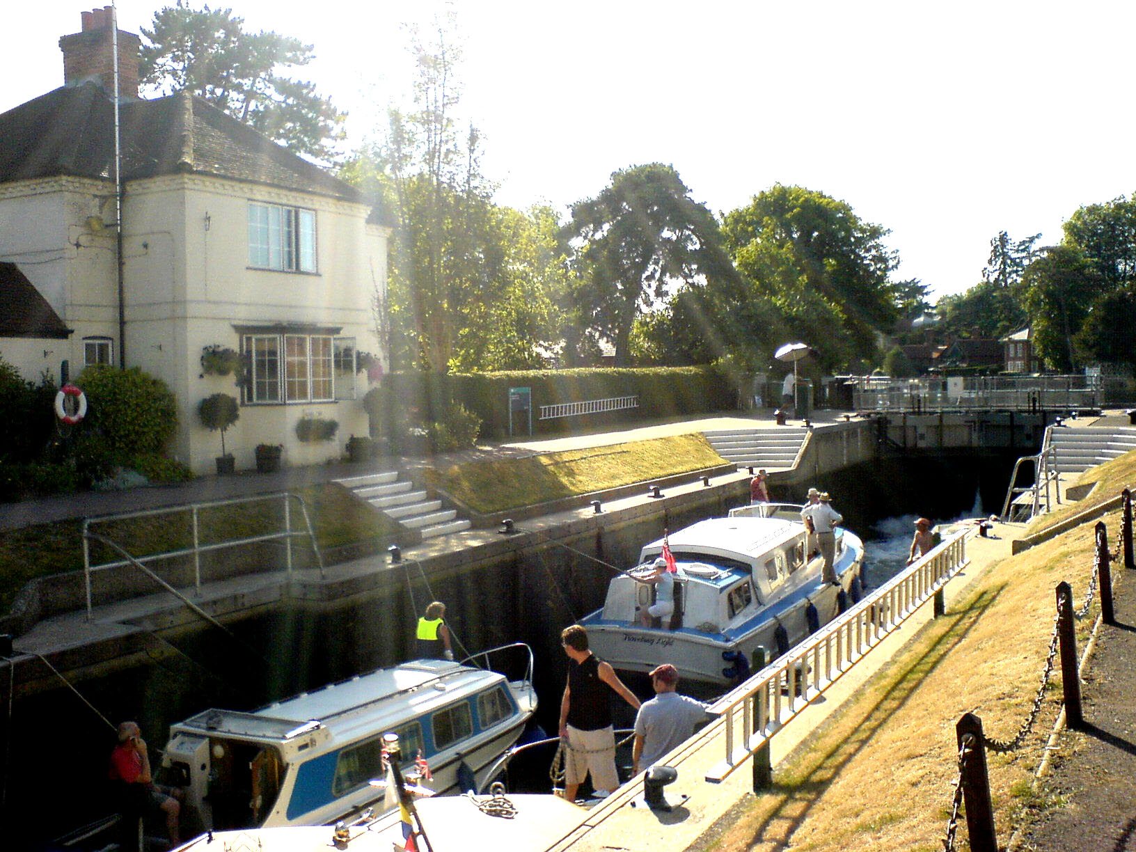
Marlow Lock[1] ![Marlow Lock[1]](/pictures/enwiki/50/250px-MarlowLock01.JPG)
Marlow Lock from downstreamWaterway River Thames County Buckinghamshire Maintained by Environment Agency Operation Hydraulic First built 1773 Latest built 1927 Length 151’ 3” (46.10m) Width 19’ 11” (6.07m) Fall 7’ 1” (2.16m) Above sea level 88' Distance to
Teddington Lock37 miles 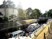 Marlow Lock
 Marlow weir on the left upstream of the lock
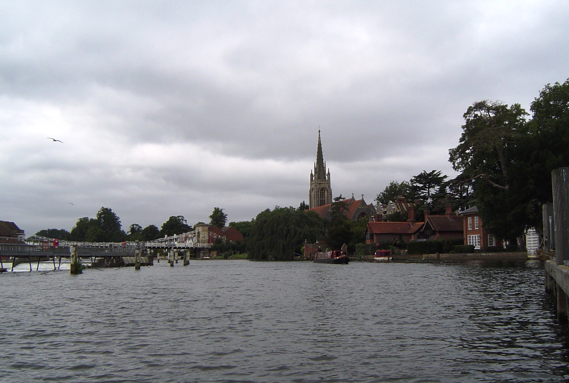
Marlow Lock is a lock and weir situated on the River Thames in the town of Marlow, Buckinghamshire, England. The first pound lock was built by the Thames Navigation Commission in 1773.
The weir stretches a long way upstream above the lock.
Contents
History
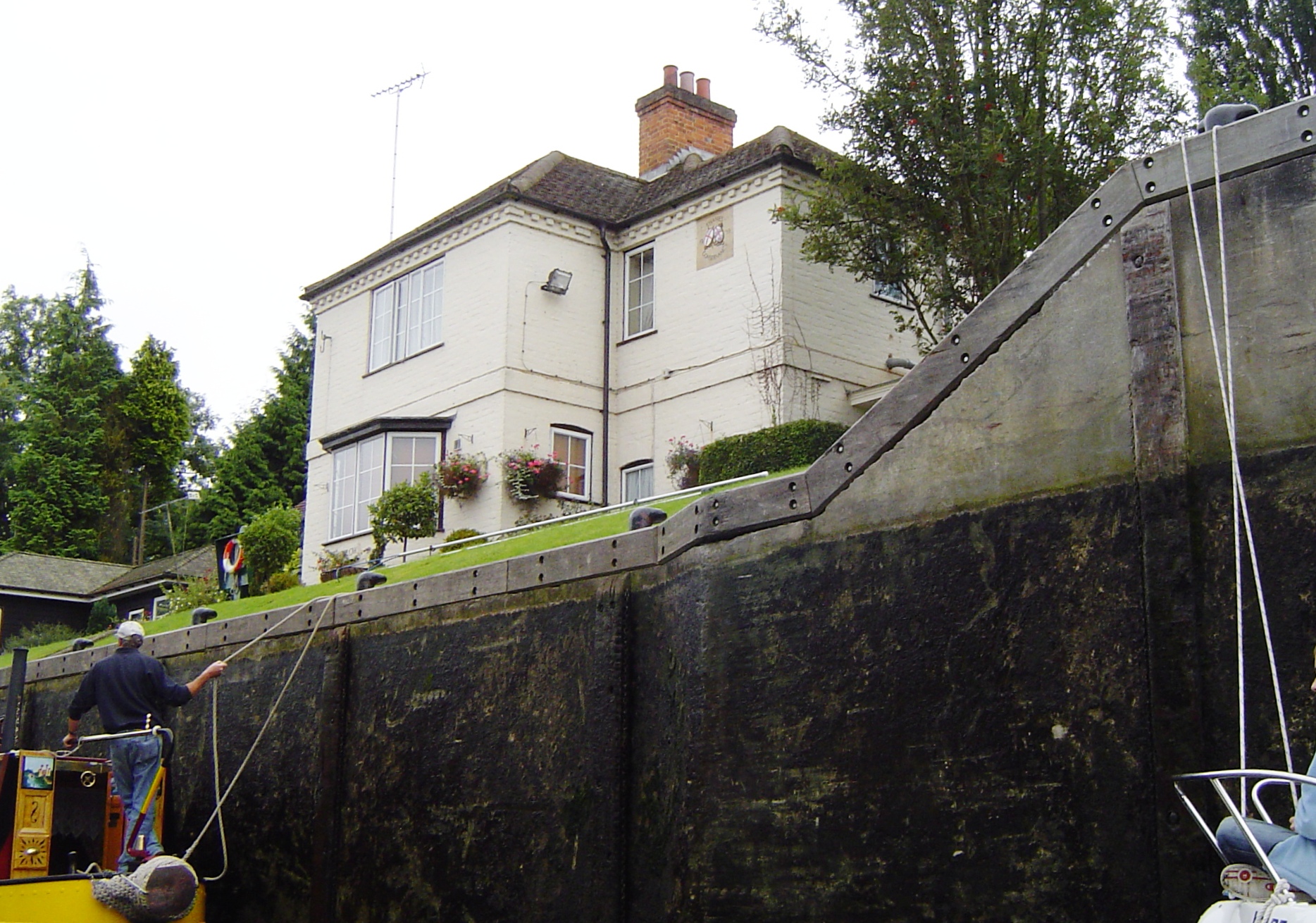
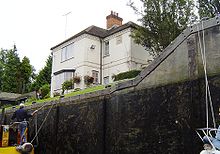 Marlow lock house from the depths of the lock
A weir at Marlow is recorded in Domesday book, and there are 14th century records of a winch to pull traffic through a flash lock. The lock was very problematical and in the 16th and 17th century there are accounts of conflicts between millers and navigators. A particular problems was the shallow draught. The first pound lock was built of fir in 1773, the seventh downstream of the eight built after the 1770 navigation act. It was upstream of the present lock on still proved problematical. Rollers were needed to guide barges in and as there was no towpath barges needed tow ropes several hundred feet long. The lock needed extensive repairs in 1780 and a year later eel bucks had to be removed from the flash lock in case it was needed. The first lock house was erected in 1815 and in 1825 the lock was reconstructed on its present site of Headington stone. The weir was rebuilt in 1872.[2] The last rebuilding of the lock occurred in 1927.
Access to the lock
The lock is easily accessible, being located in the town.
Reach above the lock
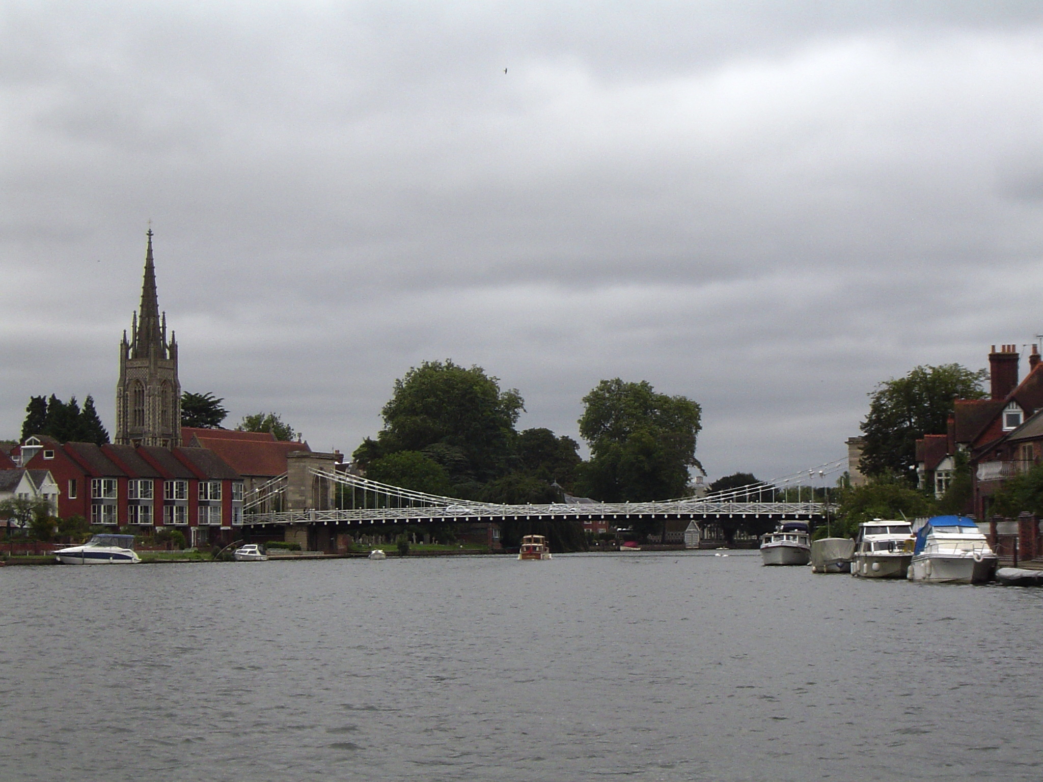
 Marlow from the river
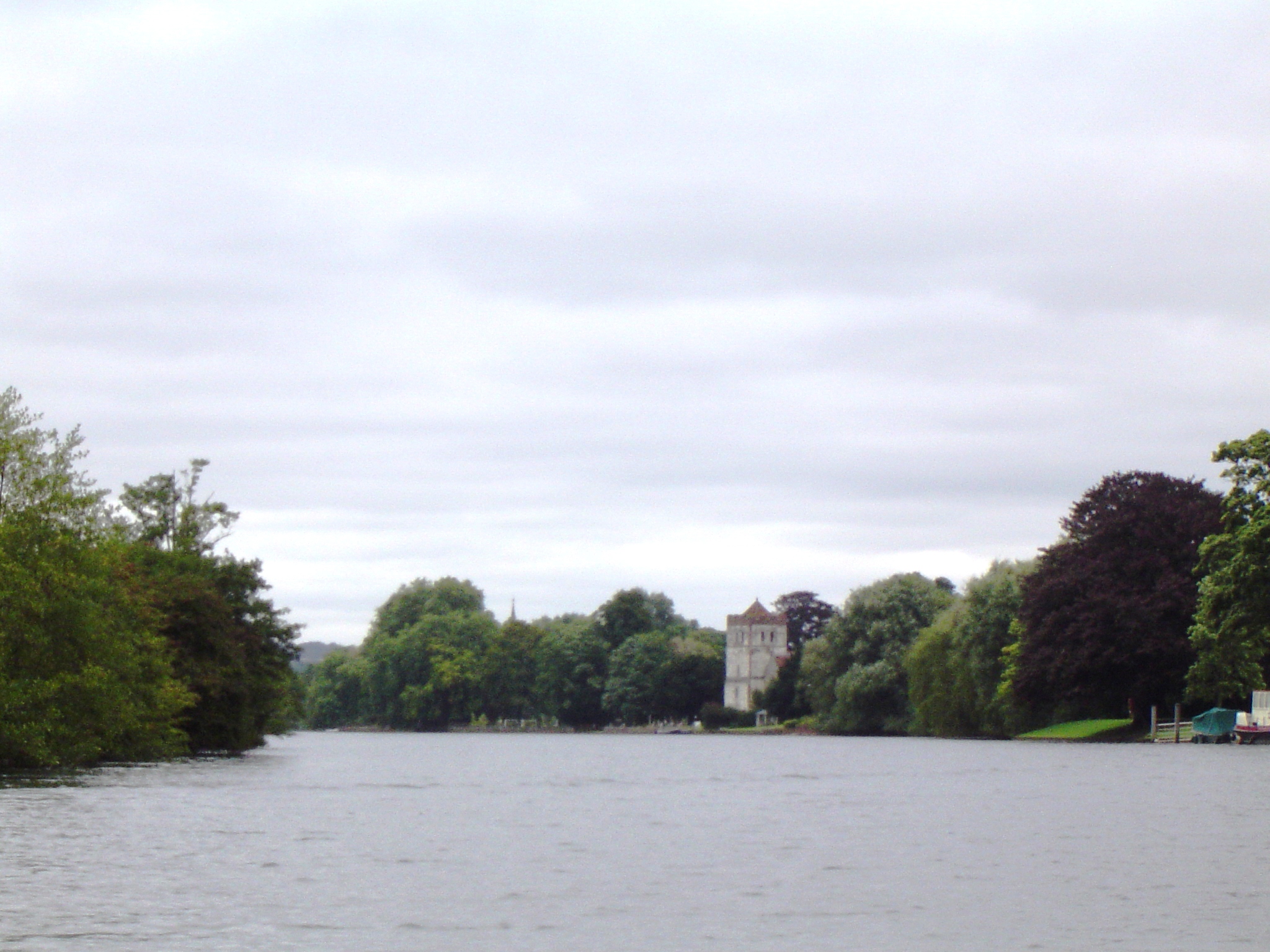
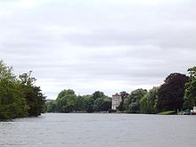 Bisham looking downstream
The long weir stretches several hundred yards above the lock, and beyond it is Marlow suspension bridge close to the church. Once the river leaves the Marlow, it curls through hills and beechwoods . On the Berkshire side is Bisham Abbey, a fine old mansion associated with Anne of Cleves and Queen Elizabeth that is now one of the National Sports Centres. Further upstream is the church of Bisham itself.
Temple Mill Island is just downstream of Temple Lock.
Temple Regatta takes place in early May between Marlow Bridge and Temple Lock, and Marlow Town Regatta is held in June.
Sports clubs
Thames Path
The Thames Path leaves Marlow and continues on the Bucks side to Temple Lock.
Literature and the media
The poet Percy Bysshe Shelley lived in the town and spent much of his time on the river above the lock in a skiff.[citation needed]
See also
- Locks on the River Thames
- Rowing on the River Thames
References
- ^ Statistics from Environment Agency A User's Guide to the River Thames:Part II
- ^ Fred. S. Thacker The Thames Highway: Volume II Locks and Weirs 1920 - republished 1968 David & Charles
Next lock upstream River Thames Next lock downstream Temple Lock
1.95 milesMarlow Lock
Grid reference: [1]Cookham Lock
4.00 milesCategories:- Locks of Buckinghamshire
- Locks on the River Thames
- Weirs on the River Thames
- Thames Path
- Marlow, Buckinghamshire
![Marlow Lock[1]](/pictures/enwiki/77/MarlowLock01.JPG)
Wikimedia Foundation. 2010.