- Lake Okutama
-
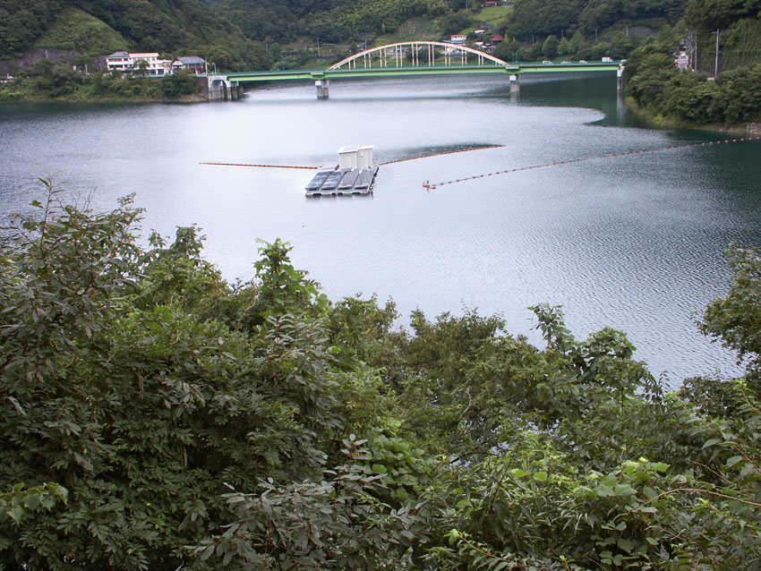
Lake Okutama 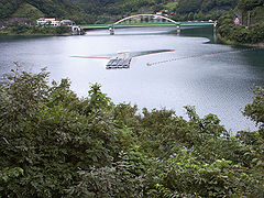
Coordinates 35°47′N 139°02′E / 35.783°N 139.033°ECoordinates: 35°47′N 139°02′E / 35.783°N 139.033°E Lake type reservoir Primary inflows Tama River, Kosuge River Primary outflows Tama River Basin countries Japan Surface area 4.25 km² Max. depth 142 m Surface elevation 526.5 m 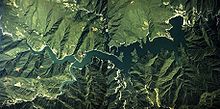 Aeral photo of Lake Okutama.
Lake Okutama (奥多摩湖 Okutama-ko) is in Tokyo and Yamanashi Prefectures in Japan. Lying above the Ogōchi Dam, it is also known as the Ogōchi Reservoir. The lake occupies part of the town of Okutama in Nishitama District, Tokyo and the village of Tabayama in Kitatsuru District, Yamanashi. Lake Okutama is an important source of drinking water for Tokyo.
Contents
See also
Data
- Dam height: 149 m
- Dam length: 353 m
- Greatest depth: 142 m
- Circumference when full: 45.37 km
- Altitude of surface when full: 526.5 m
- Area of surface when full: 4.25 km²
- Capacity: 185 400 000 m³
- Completion: 1957
- Displaced: 945 households, 6,000 people
- Died during construction: 87 people
Around the lake
The Taba (Tama) River feeds Lake Okutama at its western end. From the southwest, the Kosuge River also flows into the lake. The Tama River drains the lake at the eastern end.
The surroundings are famous for cherry blossoms in the spring.[1]
Notes
- ^ Cook, Chris, "Under the lonesome trees", Japan Times, 27 April 2007, p. 24.
Categories:- Geography of Tokyo
- Lakes of Japan
- Western Tokyo

Wikimedia Foundation. 2010.