- Doubletop Mountain (Maine)
-
Doubletop Mountain 
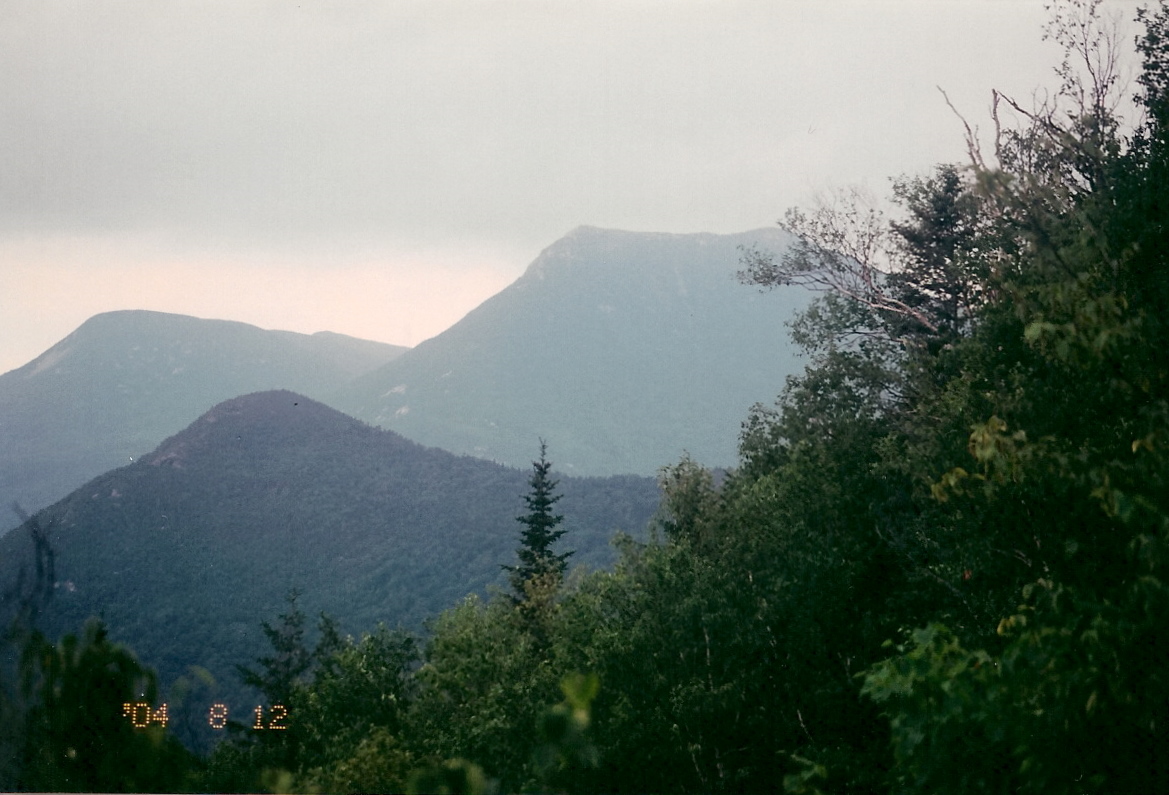
Westward view from OJI to Doubletop before Storm August 12, 2004Elevation 3,489 ft (1,063 m) NGVD 29[1] Prominence 2,069 ft (631 m) [1] Listing New England Fifty Finest #39 Location Location Piscataquis County, Maine Range Appalachians Coordinates 45°56′09″N 69°03′40″W / 45.9358781°N 69.061159°WCoordinates: 45°56′09″N 69°03′40″W / 45.9358781°N 69.061159°W[2] Topo map USGS Doubletop Mountain Doubletop Mountain is a mountain located in Piscataquis County, Maine, in Baxter State Park. As the name implies, the mountain has two peaks; a north peak (3,489 ft/1,063 m) and a south peak (3,455 ft/1,053 m). From the north a trail from the Nesowednehunk Campground to the north peak is 3.1 miles (5.0 km) long and another 0.2 miles (0.32 km) to the south peak. From Foster Field, to the south, a 4-mile (6.4 km) trail leads to the summit. The last third of mile (0.53 km) is steep and climbs about 900 feet (270 m).[3] The north peak is wooded while the south peak is more open.
Beneath one of the peaks, set in the rock, is a south facing bronze memorial tablet which reads:
KEPPELE HALL
JUNE 10, 1872—APRIL 25, 1926
HIS ASHES WERE GIVEN TO THE WINDS
AT THIS PLACE AUGUST 20, 1926, AT
SUNSET, BY HIS WIFE.Keppele Hall's wife, Fanny Hall, was the first American woman to serve as foreman of a grand jury.[4]
Geography
Doubletop Mountain stands within the watershed of Nesowadnehunk Stream, which drains into the West Branch of the Penobscot River, and into Penobscot Bay. It is flanked to the southwest by Squaw's Bosom.
See also
References
- ^ a b "Doubletop Mountain, Maine". Peakbagger.com. http://www.peakbagger.com/peak.aspx?pid=6810. Retrieved 2011-05-09.
- ^ "Doubletop Mountain". Geographic Names Information System, U.S. Geological Survey. http://geonames.usgs.gov/pls/gnispublic/f?p=gnispq:3:::NO::P3_FID:565226. Retrieved 2011-05-09.
- ^ "Doubletop Mountain". SummitPost.org. http://www.summitpost.org/page/151959. Retrieved 2011-05-09.
- ^ "Hall, Fanny Southard Hay, 1872- . Papers, 1860-1967: A Finding Aid". Harvard University Library. http://oasis.lib.harvard.edu/oasis/deliver/~sch00273. Retrieved 2011-05-09.
Categories:- Mountains of Piscataquis County, Maine
- Maine geography stubs
Wikimedia Foundation. 2010.