- Metamora, Indiana
-
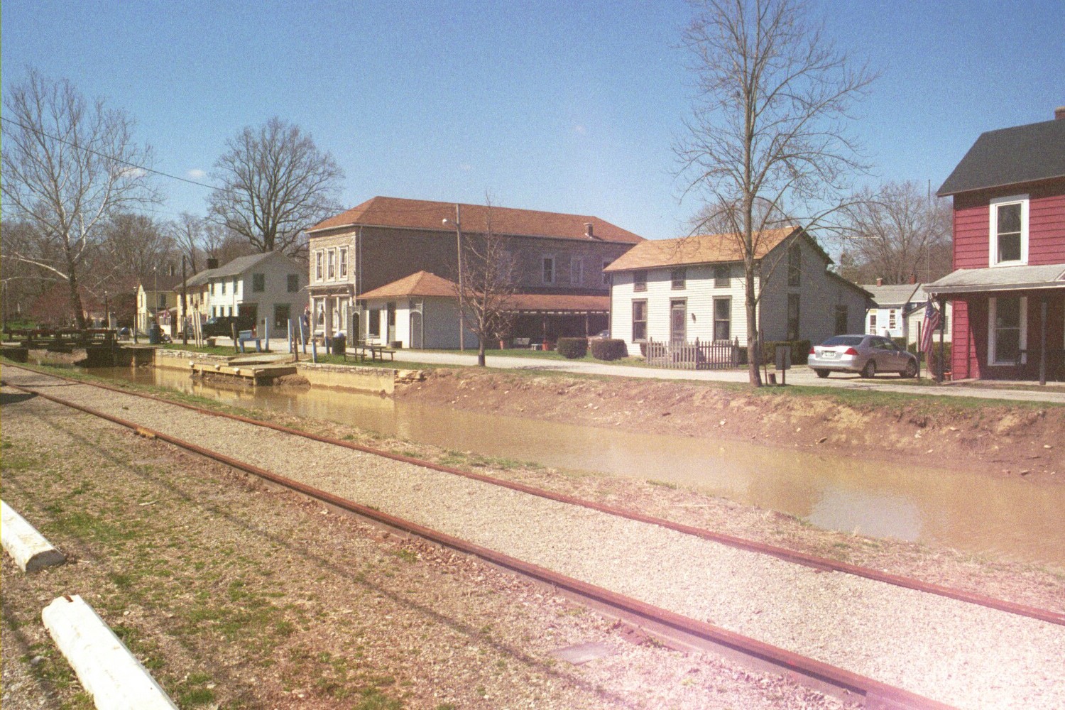
Metamora — Unincorporated community — Metamora, with railroad and canal in the foreground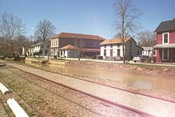

 Metamora
Coordinates: 39°26′59″N 85°08′22″W / 39.44972°N 85.13944°WCoordinates: 39°26′59″N 85°08′22″W / 39.44972°N 85.13944°W Country United States State Indiana County Franklin Township Metamora Elevation 718 ft (219 m) ZIP code 47024 FIPS code 18-48563[1] GNIS feature ID 439045[2] Metamora is an unincorporated town in Metamora Township, Franklin County, Indiana. The town was once a stop along the Whitewater Canal and is now primarily dependent on tourism.
Geography
Metamora is located at 39°26′59″N 85°08′22″W / 39.44972°N 85.13944°W. Metamora was platted in 1838. The Whitewater Canal only carried boats from 1839 to 1865 but the canal was maintained to supply hydraulic power all the way up to 1936 and the Canal produced some of the most interesting history in Franklin County. The canal was the center of industrial districts in Metamora and Brookville. At one time there were water powered mills for processing cotton, grinding flour and making paper. Metamora is nestled in southeastern Indiana's beautiful countryside steeped in history and famous for its preservation of Indiana's oldest and still operating water-powered grist mill. The state of Indiana provides canal boat rides pulled by horses, through the only existing wooden aqueduct in the United States and gives a historical review of the canal history which fueled the Southeastern Indiana economy until its displacement by the railroad. The town's canal, when seen from alongside the northern U.S. route, shimmers a distinct white shine noted by visitors to be another reason to return to Metamora.
References
- ^ "American FactFinder". United States Census Bureau. http://factfinder.census.gov. Retrieved 2008-01-31.
- ^ "Metamora, Indiana". Geographic Names Information System, U.S. Geological Survey. http://geonames.usgs.gov/pls/gnispublic/f?p=gnispq:3:::NO::P3_FID:439045. Retrieved 2009-10-17.
External links
Municipalities and communities of Franklin County, Indiana City 
Towns Brookville | Cedar Grove | Laurel | Mount Carmel | Oldenburg
Townships Bath | Blooming Grove | Brookville | Butler | Fairfield | Highland | Laurel | Metamora | Posey | Ray | Salt Creek | Springfield | Whitewater
Unincorporated
communitiesAndersonville | Bath | Blooming Grove | Buena Vista | Drewersburg | Enochsburg | Hamburg | Highland Center | Klemmes Corner | Lake View | Metamora | Midway | Mixersville | Mound Haven | New Fairfield | New Trenton | Oak Forest | Oak Tree Crossroads | Old Bath | Palestine | Peoria | Peppertown | Raymond | Rockdale | Saint Peter | Scipio | Sharptown | South Gate | Stavetown | Whitcomb | Youngs Corner
Footnotes ‡This populated place also has portions in an adjacent county or counties
Categories:- Populated places in Franklin County, Indiana
- Unincorporated communities in Indiana
- Southern Indiana geography stubs

Wikimedia Foundation. 2010.