- Connecticut Route 71
-
Route 71

Route information Maintained by ConnDOT Length: 19.19 mi[1] (30.88 km) Existed: 1932 – present Major junctions South end:  US 5 in Wallingford
 I-691 in Meriden
 Route 72 in New Britain
 Route 9 in New Britain

 I-84 / US 6 in West Hartford
North end:  Route 173 in West Hartford
Highway system Routes in Connecticut
Special Service Roads • State Roads←  Route 70
Route 72 →Route 71 is a north–south state highway in Connecticut, running from Wallingford to West Hartford. It is the main north–south road of Meriden, Berlin and New Britain.
Contents
Route description
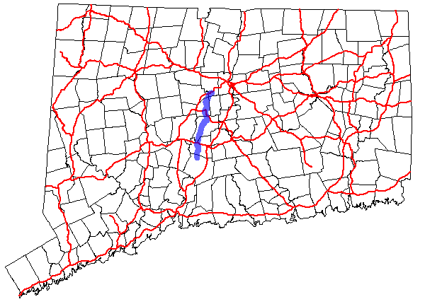
Route 71 begins at an intersection with US 5 in Wallingford and heads north through Meriden, Berlin, and New Britain, serving as the towns' main north–south street. It then cuts across the southeast corner of Farmington and the northwest corner of Newington before crossing into West Hartford, where it ends at an intersection with Route 173. Route 71 has interchanges with five freeways along its 19-mile (31 km) route.[1]
History
Route 71 was established in the 1932 state highway renumbering as a route between downtown New Britain and Hartford. In the 1920s, this was part of State Highway 113, which ran from Plainville via New Britain to Hartford. The Plainville to New Britain section became part of Route 72 (now Route 372) in 1932. In 1934, the route was modified at both ends. The northern end was truncated to end at the Colt Highway (U.S. Route 6A), roughly at the location of Exit 40 of I-84. The south end was extended to U.S. Route 5A in Meriden via Kensington along Chamberlain Highway, Bradley Avenue, and Hanover Road (former State Highway 178). In 1962, US 5A in Meriden was removed and Route 71 south of West Main Street was relocated to the former US 5A alignment (Cook Avenue and Old Colony Road). In 1969, Route 71 was extended to its current northern end at Route 173 in West Hartford after US 6 was relocated to I-84 (US 6A became US 6 in the early 1940s).
Route 71 was once planned to be a freeway south from the planned southwestern Interstate 291 to the Route 72 freeway in 1961. In 1963, the state increased the planned mileage by planning the freeway to travel further north of I-291 to the Cedar Ridge Connector/Old Route 9 (remnants of which are now SR 504). The 1961 plan was built in 1986 as SR 506 but the rest of the Route 71 freeway was cancelled. Interestingly enough, in 1989, Route 9 became the southern terminus of the Route 71 freeway instead of the northern terminus. Route 9 was newly constructed west to, and extended onto the existing Route 72 freeway near Berlin and onto SR 506. The Route 72 designation was scaled back westward to the old interchange with SR 506.[2]
Junction list
Town Mile[1] Destinations Notes Wallingford 0.00 US 50.36  Route 150
Meriden 1.36 Route 704.56 I-691Berlin 8.39  Route 364
9.10  Route 71A
11.38  Route 372
12.14 SR 571 New Britain 13.85 Route 7213.95  Route 174 west – Newington
15.01  Route 175
West Hartford 18.54 I-84 / US 619.19 Route 173Route 71A
Route 71A
Location: Berlin–New Britain Length: 2.92 mi (4.70 km) Route 71A is a minor north–south spur route of Route 71 and is 2.92 miles (4.70 km) long. It begins as Chamberlain Highway at Route 71 in Berlin and heads northward along High Road, briefly overlapping Route 372. It continues into New Britain, where it becomes Kensington Avenue, and ends half a mile later at an intersection with Buell Street. The road continues beyond Buell Street as a local road. Route 71A originally extended further north to connect back to Route 71 but was truncated to its present end in 1995. Some signage for Route 71A still exists north of the official northern terminus.
References
External links
Categories:- State highways in Connecticut
- Transportation in New Haven County, Connecticut
- Transportation in Hartford County, Connecticut

Wikimedia Foundation. 2010.