- Sarayan
-
For the administrative subdivision, see Sarayan County.
Sarayan
سرايان— city — 
 Sarayan
Coordinates: 33°51′37″N 58°31′18″E / 33.86028°N 58.52167°ECoordinates: 33°51′37″N 58°31′18″E / 33.86028°N 58.52167°E Country  Iran
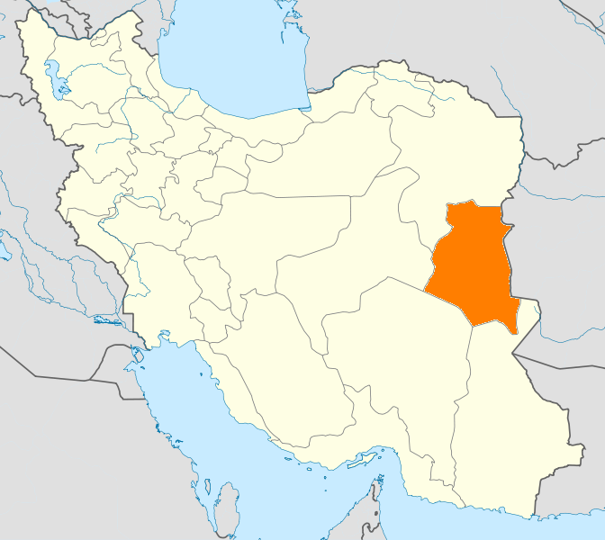
IranProvince South Khorasan County Sarayan Bakhsh Central Population (2006) – Total 11,098 Time zone IRST (UTC+3:30) – Summer (DST) IDST (UTC+4:30) Sarayan at GEOnet Names Server Sarayan (Persian: سرايان, also Romanized as Sarāyān, Sarā’īān and Sīryān)[1] is a city in, and the capital of, Sarayan County, South Khorasan Province, Iran. At the 2006 census, its population was 11,098, in 2,933 families.[2]
References
- ^ Sarayan can be found at GEOnet Names Server, at this link, by opening the Advanced Search box, entering "-3082549" in the "Unique Feature Id" form, and clicking on "Search Database".
- ^ "Census of the Islamic Republic of Iran, 1385 (2006)" (Excel). Islamic Republic of Iran. http://www.amar.org.ir/DesktopModules/FTPManager/upload/upload2360/newjkh/newjkh/29.xls.
 South Khorasan Province
Capital 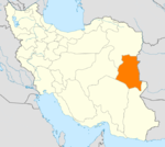
Counties and Cities Birjand · KhusfBoshruyeh CountyBoshruyeh · EreskAsadiyeh · Tabas-e MasinaFerdows · EslamiyehNehbandan · ShusefSarayan · Ayask · Seh QalehSights Ferdows Hot Spring · Jameh Mosque of Ferdows · Nehbandan citadel · Furg citadel · Ghal'eh Paeen-Shahr · Deragon Cave · Behgard Garden · Chenshat cave · Kolah Farangi citadel · Ferdows Religious School · Kal Jangal Parthian fresco, BirjandCategories:- Sarayan County
- Cities in Iran
- Cities in South Khorasan Province
- Iran geography stubs

Wikimedia Foundation. 2010.