- Nimbeluk
-
For the administrative subdivision, see Nimbeluk District.
Nimbeluk
نيمبلوك— city — 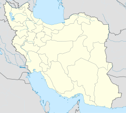
 Nimbeluk
Coordinates: 33°54′39″N 58°55′52″E / 33.91083°N 58.93111°ECoordinates: 33°54′39″N 58°55′52″E / 33.91083°N 58.93111°E Country  Iran
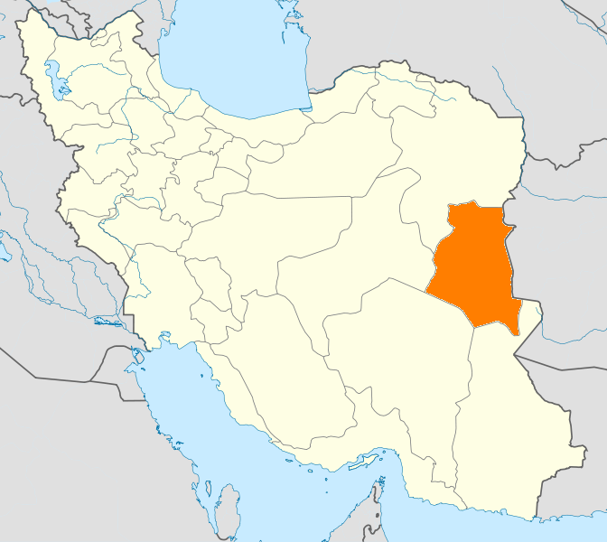
IranProvince South Khorasan County Ghayen Bakhsh Nimbeluk Population (2006) - Total 3,886 Time zone IRST (UTC+3:30) - Summer (DST) IDST (UTC+4:30) Nimbeluk (Persian: نيمبلوك) is a city in, and the seat of, Nimbeluk District, in Ghayen County, South Khorasan Province, Iran. At the 2006 census, its population was 3,886, in 946 families.[1]
References
- ^ "Census of the Islamic Republic of Iran, 1385 (2006)" (Excel). Islamic Republic of Iran. http://www.amar.org.ir/DesktopModules/FTPManager/upload/upload2360/newjkh/newjkh/29.xls.
 South Khorasan Province
Capital 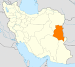
Counties and Cities Birjand · KhusfBoshruyeh CountyBoshruyeh · EreskAsadiyeh · Tabas-e MasinaFerdows · EslamiyehNehbandan · ShusefSights Ferdows Hot Spring · Jameh Mosque of Ferdows · Nehbandan citadel · Furg citadel · Ghal'eh Paeen-Shahr · Deragon Cave · Behgard Garden · Chenshat cave · Kolah Farangi citadel · Ferdows Religious School · Kal Jangal Parthian fresco, BirjandCategories:- Ghayen County
- Cities in Iran
- Cities in South Khorasan Province
- Iran geography stubs

Wikimedia Foundation. 2010.