- Oxton, Scottish Borders
-
Oxton is a rural village in the Scottish Borders area of Scotland, just off the A68.
The small town of Lauder is 4.5 miles to the south, Edinburgh city centre is about 23 miles to the north. Other towns include Dalkeith (15 miles north). The local pub is the Tower Hotel, commonly known as "The Toor" to local people.
The primary school for the area is Channelkirk Primary School, located on the edge of the village. Channelkirk is in Earlston High School's catchment area.
In the 18th century the name was sometimes recorded as Ugston.
Oxton is on the Roman road, Dere Street. To the north of the village is the site of a Roman fortlet, and, at Kirktonhill, the site of a Roman camp. NT45SE
Oxton is also the site where Saint Cuthbert baptised people with water from the holy well (the haily water cleugh), which is possibly why there is a church there.
See also
External links
- CANMORE (RCAHMS): Item SC 357126, Copy of plan of Oxton Roman fort
- CANMORE (RCAHMS): ID 54608 Roman coin
- Samian ware and one sherd of a mortarium, from the roman fortlet at Oxton, Berwickshire
- RCAHMS record: Oxton, General
- RCAHMS: 19 results
Gallery
-
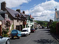
Oxton's centre
-

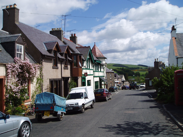
Red house at Oxton
-

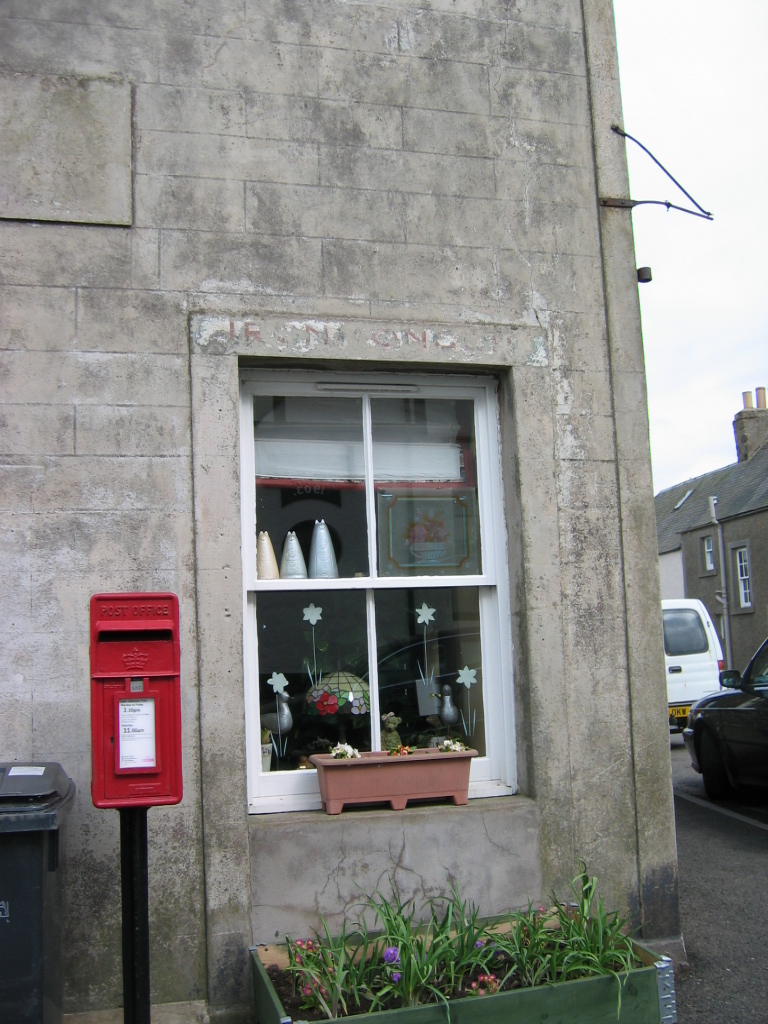
Oxton house and posting box
-
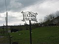
Oxton Mains farm
Abbey St Bathans · Allanton · Auchencrow · Ayton · Birgham · Burnmouth · Chirnside · Cockburnspath · Coldingham · Coldstream · Cove · Duns · Earlston · Edrom · Eyemouth · Fogo · Foulden · Gavinton · Gordon · Grantshouse · Greenlaw · Hume · Hutton · LauderCategories:- Berwickshire
- Villages in the Scottish Borders
- Holy wells
- Scottish Borders geography stubs


Wikimedia Foundation. 2010.