- Châtres, Seine-et-Marne
-
Châtres

 ChâtresLocation within Île-de-France region
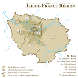 Châtres
Administration Country France Region Île-de-France Department Seine-et-Marne Arrondissement Melun Canton Tournan-en-Brie Intercommunality Val Bréon Mayor Michel Rollin
(2008–2014)Statistics Elevation 89–117 m (292–384 ft) Land area1 15.13 km2 (5.84 sq mi) Population2 577 (2006) - Density 38 /km2 (98 /sq mi) INSEE/Postal code 77104/ 77610 1 French Land Register data, which excludes lakes, ponds, glaciers > 1 km² (0.386 sq mi or 247 acres) and river estuaries. 2 Population without double counting: residents of multiple communes (e.g., students and military personnel) only counted once. Coordinates: 48°42′38″N 2°48′35″E / 48.7106°N 2.8097°E
Châtres is a commune in the Seine-et-Marne department in the Île-de-France region in north-central France.
Contents
History
Châtres began as a Roman camp. Its name, formerly Chastres, is derived from Latin castrum.
Châtres is documented as the place where Saint Corbinian was born circa 670 and where he maintained a hermitage for fourteen years.
Demographics
The inhabitants of Châtres are called Châtriots.
Places of interest
Place of interest include the Château de Boulayes and its park.
Agriculture
The area produces cereal grain.
See also
References
- (French) Commune de Châtres
External links
- (French) Old postcards of Châtres
- (French) Find Châtres on the map of Seine-et-Marne
- (English) 1999 Land Use, from IAURIF (Institute for Urban Planning and Development of the Paris-Île-de-France region)
- (French) French Ministry of Culture list for Châtres
Categories:- Communes of Seine-et-Marne
- Seine-et-Marne geography stubs


Wikimedia Foundation. 2010.