- Montgé-en-Goële
-
Montgé-en-Goële

 Montgé-en-GoëleLocation within Île-de-France region
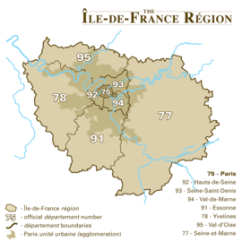 Montgé-en-Goële
Administration Country France Region Île-de-France Department Seine-et-Marne Arrondissement Meaux Canton Dammartin-en-Goële Intercommunality Pays de la Goële et du Multien Mayor Pascal Hiraux
(2008–2014)Statistics Elevation 80–200 m (260–660 ft) Land area1 11.56 km2 (4.46 sq mi) Population2 697 (2006) - Density 60 /km2 (160 /sq mi) INSEE/Postal code 77308/ 77230 1 French Land Register data, which excludes lakes, ponds, glaciers > 1 km² (0.386 sq mi or 247 acres) and river estuaries. 2 Population without double counting: residents of multiple communes (e.g., students and military personnel) only counted once. Coordinates: 49°01′42″N 2°44′53″E / 49.0283016°N 2.748127°E
Montgé-en-Goële is a commune in the Seine-et-Marne department in the Île-de-France region in north-central France.
Contents
Demographics
Inhabitants are called Montgéens.
See also
References
External links
- 1999 Land Use, from IAURIF (Institute for Urban Planning and Development of the Paris-Île-de-France région (English)
- Map of Montgé-en-Goële on Michelin (English)
Categories:- Communes of Seine-et-Marne
- Seine-et-Marne geography stubs


Wikimedia Foundation. 2010.