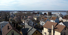
- Mariners Harbor, Staten Island
-
Mariners Harbor is a neighborhood located in the northwestern part of New York City, USA's borough of Staten Island. It is bordered by Lake Avenue to the east, Lisk Avenue to the south, Richmond Terrace to the north, and Holland Avenue to the west. The western section of Mariners Harbor, west of South Avenue is often known as Arlington.
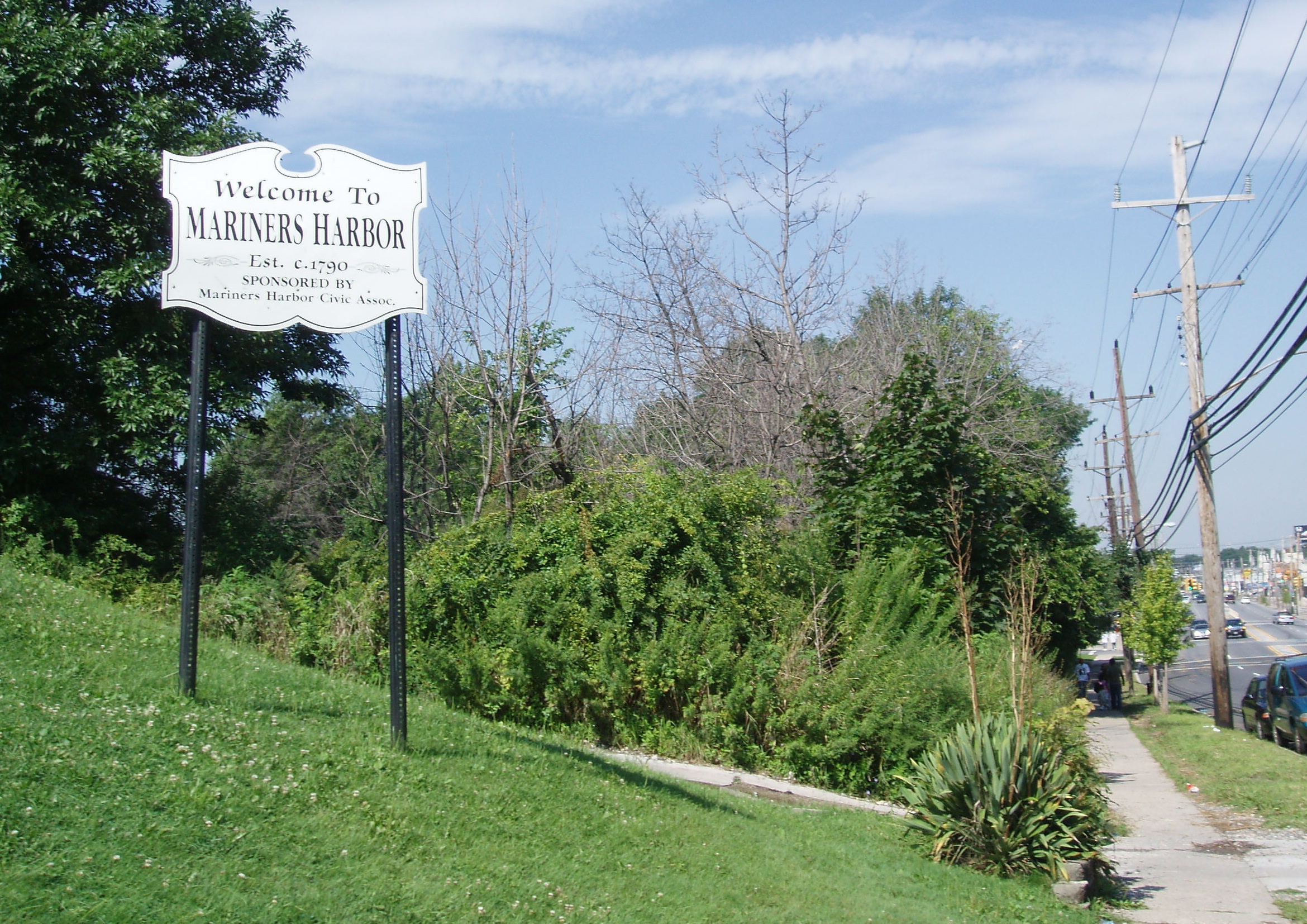
 Welcome To Mariners Harbor
Contents
History
The neighborhood owes its name to the fact that, during the 19th century, oysters and other seafood products were harvested the Kill Van Kull, which forms the neighborhood's northern border (Elm Park and Port Ivory lie to the east and west, respectively, while Graniteville is to the south). This activity declined due to pollution during the 20th century. Today oysters are farmed by various small fishing entities and are cleaned in the waters off Long Island by allowing them to bed in those waters. The Mariners Harbor Yacht Club remains as a reminder of the community's maritime past.
One of the stations on the North Shore branch of the Staten Island Railway was both located in and named after the neighborhood, within which was also found three other stations along the line, at Lake Avenue, Harbor Road, and Arlington (passenger service on this line was discontinued in 1953). The railroad bed has been rebuilt and is now used by freight trains traveling between New Jersey and the Howland Hook Marine Terminal in the bordering Arlington area.
 Eastern Mariner's Harbor
The area originally populated by the Dutch settlers of 17th and 18th centuries bears the famous names of those families, which include: Van Name Street, Van Pelt Avenue, Brabrant Street, Lockman Avenue and Mesereau Avenue. The oldest church in the neighborhood is the methodist Summerfield church, founded in 1840 it still stands on Harbor Road. On the corner of Richmond Terrace and Lockman Avenue is the Fellowship Baptist Church, which has a large African American congregation and has gained considerable political influence being visited by New York City mayors David Dinkins, Rudolph Giuliani, and Michael Bloomberg on multiple occasions during their terms of office.
From the early 1900s to the 1930s, the area became home to many Italian-Americans, who still comprise a significant percentage of its population. The neighborhood was permanently transformed, however, in 1954, when the New York City Housing Authority opened the 605-unit Mariner's Harbor Houses public housing project in the heart of the community,[1] which then soon became predominantly African American and later, also Hispanic.
The demographics (not including Arlington) are as follows:
35.79% White, 33.19% Black, 10.33% Asian, 0.88% Native American, 0.06% Native Hawaiian or Pacific Islander, 15.03% Some Other Race, and 4.70% Two or More Races.
Hispanics or Latinos of and race made up 37.22% of the population(http://2010.census.gov/2010census/popmap/)
Mariners Harbor was home to large shipping and dry dock companies in the first half of the 20th century, including Bethlehem Steel, which owned a considerable portion of land in the area with headquarters along the waterfront on Richmond Terrace across from Messereau Avenue and Brewers Dry Dock. Bethlehem Steel built military transports during World War I and World War II. Currently, two tugboat companies—K-Sea and McAllister—operate in the area as do a number of smaller dry docks, Great Lakes Dredge and Dock, and Mariners Harbor Cargo Terminal[1]. The John McAllister tug boat was listed on the National Register of Historic Places in 2001.[2]
The West Shore Little League and Public School 44 also are part of the neighborhood. The former Cross Paper Plant sits on the edge of the area and now is used as rental space for other small business. In recent years a large amount of shopping has been built up in stretch of Forest Avenue from Lake Avenue to South Avenue, revitalizing the area[1] and bringing new traffic concerns.
The ZIP Code for Mariners Harbor is 10303.
Education
Most students in Mariners' Harbor are zoned for Port Richmond High School, I.S.51, and P.S.22 and P.S.44, as well as a section that can generally be described as north of Continental Place and west of Van Pelt Avenue that is zoned for I.S 72 in Heartland Village (Source: http://maps.nycboe.net) NYC Department of Education website. P.S. 44 is located on 80 Maple Parkway and its current principal is Joseph Miller. P.S 44. has small class sizes, however the downside of P.S. 44 it is a somewhat worn building and furnishings. It offers grades Pre-K to fifth grade, and as of 2006 it had 69 full time teachers and 5 part time teachers, and has a total of 860 students enrolled, which makes the teacher student ratio 1:13.
In 2008, it was announced that Mariners Harbor would get its own branch of the New York Public Library, on a vacant lot along South Avenue. It will be the 13th branch on Staten Island. The library was the winner of the Award for Excellence in Design from New York City's Public Design Commission. Construction is scheduled to begin in 2009 and the library is expected to open in 2011.[3][4]
Transportation
Mariners Harbor is served by the S40/S90 buses along Richmond Terrace and South Avenue, the S48/S98 buses along Forest Avenue and South Avenue, and the S46/S96 buses along Grandview Avenue/South Avenue and Brabrant Street. It is also served by the X12/X42 and X30 express buses to Manhattan along Forest Avenue.
References
- ^ a b Fioravante, Janice (February 29, 2004). "If You're Thinking of Living In/Mariner's Harbor, Staten Island; Signs of Revival in a Waterfront Area". The New York Times. http://www.nytimes.com/2004/02/29/realestate/if-you-re-thinking-living-mariner-s-harbor-staten-island-signs-revival.html. Retrieved 2009-08-22.
- ^ "National Register Information System". National Register of Historic Places. National Park Service. 2009-03-13. http://nrhp.focus.nps.gov/natreg/docs/All_Data.html.
- ^ Lore, Diane C. (July 23, 2009). "Library design wins top honors". Staten Island Advance. http://www.silive.com/northshore/weekly/index.ssf?/base/news/124836211417350.xml&coll=1. Retrieved 2009-08-22.
- ^ "The New York Public Library’s Mariners Harbor Branch Receives the 2009 Award for Excellence in Design from the NYC Design Commission on July 1, 2009" (Press release). New York Public Library. July 1, 2009. http://www.nypl.org/press/releases/?article_id=306. Retrieved 2009-08-22.
http://www.city-data.com/school/p-s---44-thomas-c--brown-school.html
Categories:- Neighborhoods in Staten Island

Wikimedia Foundation. 2010.