- Georgia State Route 41
Infobox road
state=GA
type=
route=41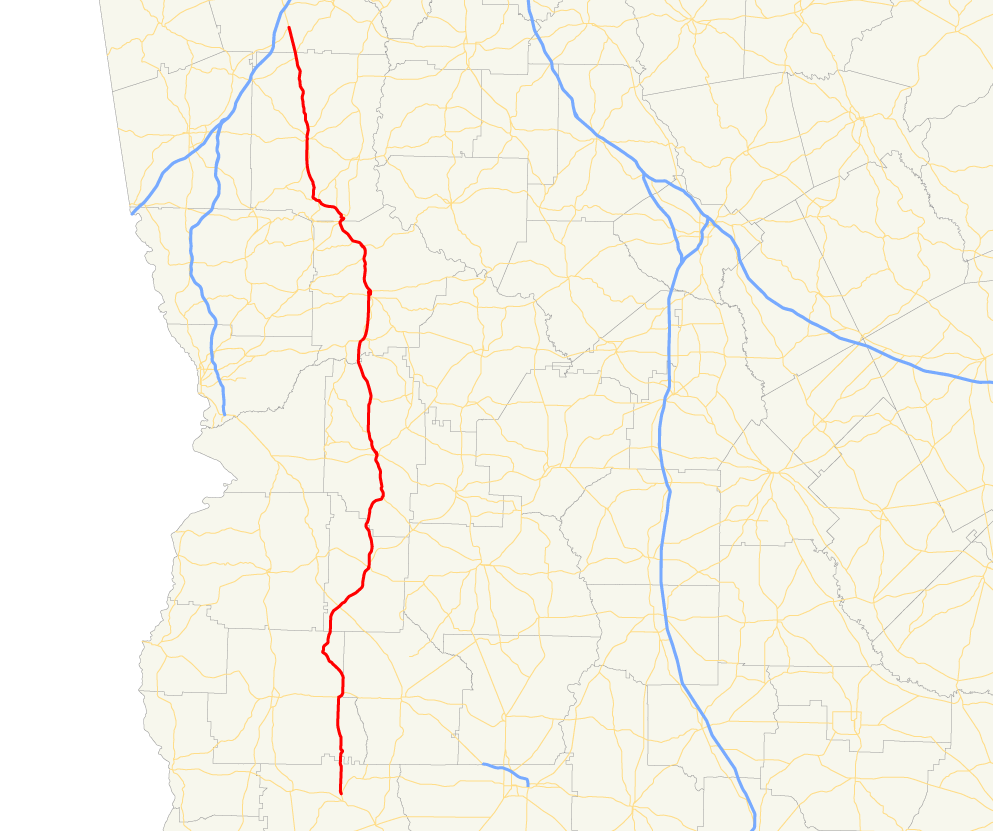
length_mi=
length_ref= [http://www.dot.state.ga.us/DOT/plan-prog/transportation_data/400reports/2002/dpp444_2002.pdf]
length_round=2
established=
direction_a=South
direction_b=North
starting_terminus=
junction=
ending_terminus=
previous_route=40
next_route=42State Route 41 is a north-south state route located in the western part of the
U.S. state of Georgia. The route travels from State Route 45 north of Morgan north toU.S. Route 29 /State Route 14 in Moreland.Routing
From its southern terminus at State Route 45 north of Morgan, State Route 41 travels north. North of Shellman, State Route 41 is briefly cosigned with
U.S. Route 82 /State Route 50, before splitting and continuing north. In Preston, State Route 41 is briefly cosigned withU.S. Route 280 /State Route 27. In Buena Vista, State Route 137 becomes cosigned with State Route 41, and the two routes travel to the northwest for a short distance before S.R. 41 departs and continues north to Geneva, where it briefly becomes cosigned withU.S. Route 80 /State Route 22 before proceeding north to Talbotton. South of Manchester the route becomes cosigned with State Route 85 into downtown Manchester, where State Route 41 departs and assumes a northwestwardly routing to the city ofMoreland, Georgia . In Moreland, State Route 41 meets its northern terminus at U.S. Route 29/State Route 14, while U.S. Route 27 Alternate continues north, cosigned with the two routes.ignificance
State Route 41 is a rural route, and as such, sees very little traffic. The route sees an Average Annual Daily Traffic of less than 5,000 vehicles except near its northern terminus. [http://www.dot.state.ga.us/dot/plan-prog/transportation_data/mapproducts/Documents/Trafficflow_05.pdf]
Banner Routes
tate Route 41 Connector
State Route 41 Connector is a short connector route in Buena Vista.
References
Wikimedia Foundation. 2010.