- Maruyama, Chiba
-
Maruyama
丸山町Former municipality Since March 20, 2006 Currently part of Minamibōsō 
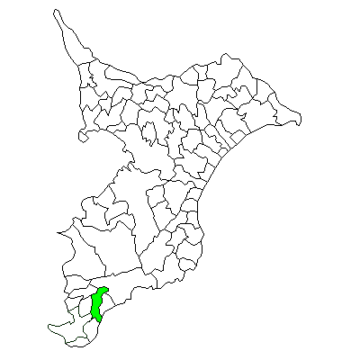
Maruyama's location in Chiba, Japan.Location Country Japan Region Kantō region Prefecture Chiba District Awa District, Physical characteristics Area 44.11 km² Population (as of August 1, 2004) Total 5,780 Density 131/km² Symbols Tree Hinoki Flower Rosemary Bird Japanese White-eye
Maruyama (丸山町 Maruyama-chō) is a former town located in Awa District, Chiba, Japan. As of August 1, 2004, the town had an estimated population of 5,780 and a density of 131 persons per km². The total area was 44.11 km².Contents
Geography
Maruyama was located at the southeast end of Chiba Prefecture, in an inland area of the southern Bōsō Peninsula, with a small shoreline facing the Pacific Ocean. The town had a temperate maritime climate with hot, humid summers and mild, cool winters.
History
Maruyama Town was created on March 15, 1955 from the merger of former Maru Village, Toyota Village and a portion of Chikura Town. It expanded on September 1, 1956 through the annexation of a portion of former Minamihara Village. On March 20, 2006 Maruyama was merged with the neighboring towns of Chikura, Wada, Shirahama, Tomiyama and Tomiura, and the village of Miyoshi, all within Awa District, to form the new city of Minamibōsō.
Economy
The economy of Maruyama was largely based on horticulture (primarily herbs and flowers), and summer tourism.
Transportation
Highway
- Japan National Route 128
- Japan National Route 410
External links
- Maruyama official website in Japanese
- English homepage on official website
Coordinates: 35°01′59″N 139°58′22″E / 35.03306°N 139.97278°E

This Chiba Prefecture location article is a stub. You can help Wikipedia by expanding it.