- Dunnet Head
-
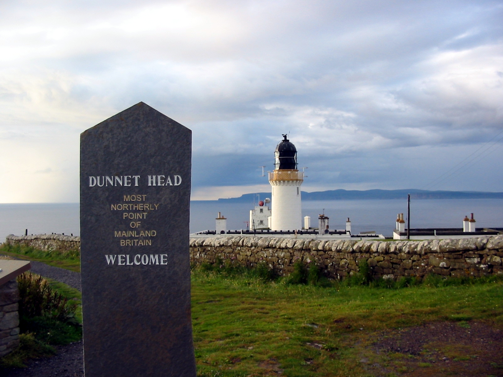
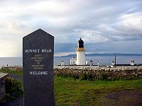 "Most northerly point of mainland Britain."
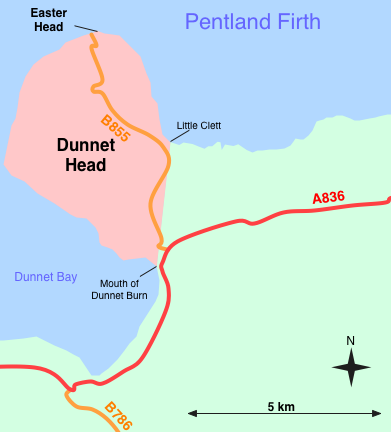
 Sketch map of Dunnet Head, showing position of Easter Head.
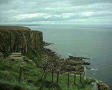
Dunnet Head (Scottish Gaelic: Ceann Dùnaid) is a peninsula in Caithness, on the north coast of Scotland, that includes the most northerly point of the mainland of Great Britain. The point, known as Easter Head, is at 58°40′21″N 03°22′31″W / 58.6725°N 3.37528°W (grid reference ND202767), about 18 km (11 mi) westnorthwest of John o' Groats and about 20 km (12 mi) from Duncansby Head. Dunnet Head can be seen also as the western limit of the Pentland Firth on the firth's southern, or Caithness, side (Duncansby Head is the eastern limit).
The headland's boundary with the rest of the Scottish mainland can be defined as a north-south line running from Little Clett (ND220740) to the mouth of Dunnet Burn (ND217709) in Dunnet Bay. This line is followed along most of its route by a single track road, the B855, which links Brough with the village of Dunnet, making this the most northerly road on mainland Britain. From this line, the headland projects westward and northward into the Atlantic Ocean and the Pentland Firth and shelters the more southerly waters of Dunnet Bay.
The peninsula is east of the burgh of Thurso, and on a clear day, it affords excellent views of the islands Stroma to the east, and Hoy and the Orkney Mainland, 15 km (nine miles) away to the north, across the Pentland Firth.
Contents
Lighthouse
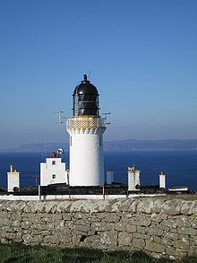 The Dunnet Head lighthouse
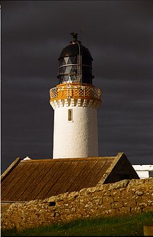 Another view of the lighhouse
A lighthouse stands on the 300-ft (90-m) cliff top of Easter Head. Dunnet Head Lighthouse is 345 ft. (105 m) tall and was built in 1831 by Robert Stevenson, grandfather of Robert Louis Stevenson.
Near the lighthouse are minor fortifications built during World War II to protect the naval base at Scapa Flow, including a Chain Home Low radar station and a bunker used by the Royal Observer Corps during the Cold War. Burifa Hill on Dunnet Head was the site of the master station and a monitoring station of the northern GEE chain of radio navigation stations during World War II. There was also an artillery range on Dunnet Head during WWII.
Angling
Dunnet Head lochs are restocked every two years with brown trout fry; fishing by permit is between April and early October. Day and season permits are available from CH Haygarth & Sons, Gun & Rifle Makers, on the A836 in the village of Dunnet.
Information centre
Dunnet Head Information Centre was northnorthwest of Brough on the B855, but is now closed down, and the nearest Tourist Information is in Thurso.
There is a lot of information about Dunnet Head at www.dunnethead.co.uk and is recognised locally as the best source of information about WWII installations and Burifa Hill in the County.
External links
 Media related to Dunnet Head at Wikimedia Commons
Categories:- Headlands of Scotland
- Listed lighthouses in Scotland
- Peninsulas of Scotland
- Sites of Special Scientific Interest in Caithness
- Royal Society for the Protection of Birds reserves in Scotland


Wikimedia Foundation. 2010.