Lake Fork Mohican River

Lake Fork Mohican River

Infobox River
river_name = Lake Fork Mohican River
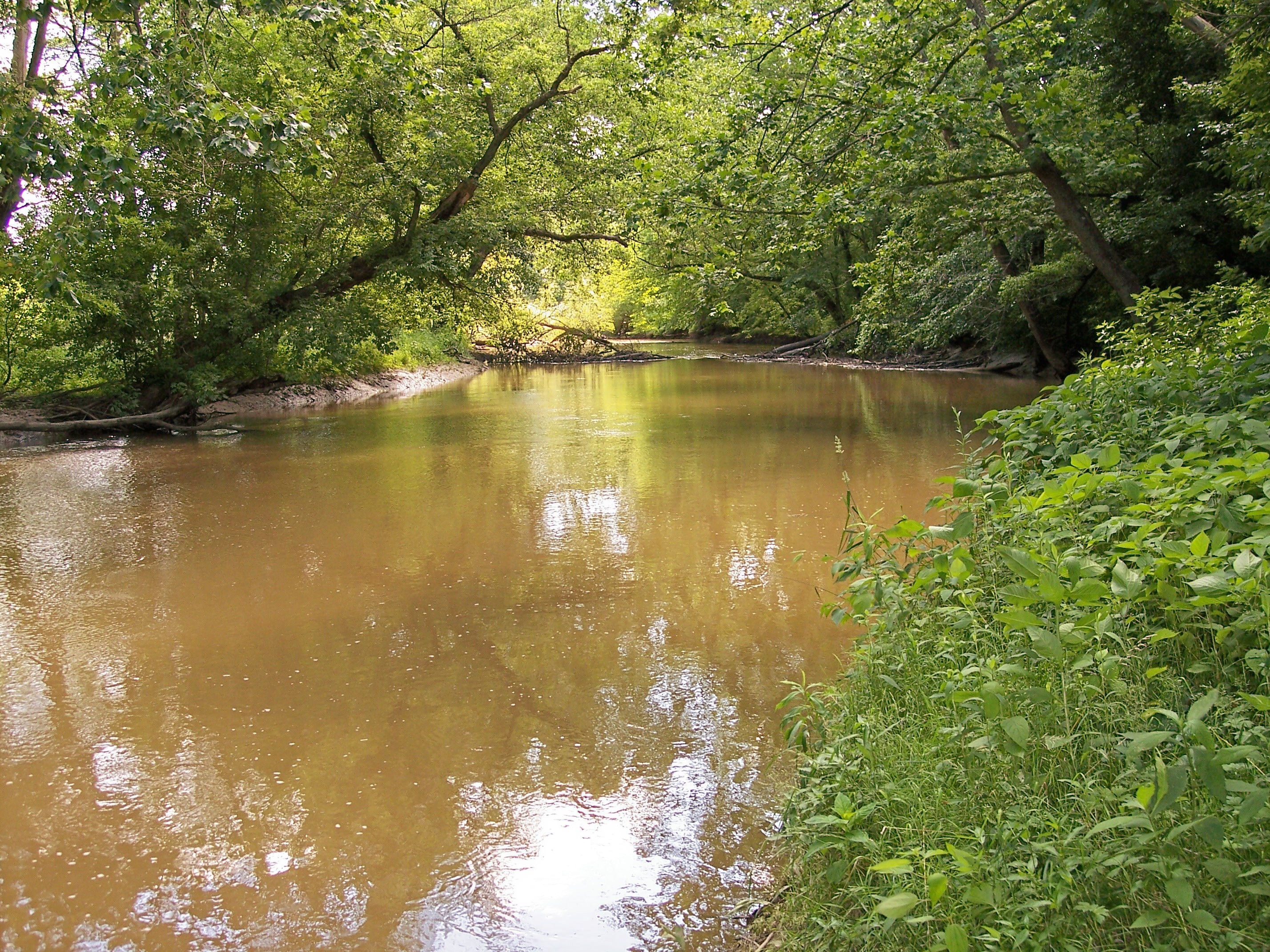


caption = The Lake Fork downstream of the Mohicanville Dam in southeastern Ashland County, Ohio
origin = coord|40|45|01|N|82|07|59|W|,Gnis|1066064|Lake Fork Mohican River] confluence of Jerome Fork and Muddy Fork in southeastern Ashland County
mouth = coord|40|35|36|N|82|11|36|W|, Mohican River, northwestern Holmes County, Ohio
basin_countries = United States
length = 14.7 mi (23.7 km)
elevation =
mouth_elevation =
discharge =
watershed = 344 mi² (891 km²)
The Lake Fork is a tributary of the Mohican River, 14.7 miles (23.7 km) long, Ohio Department of Natural Resources. [http://www.dnr.state.oh.us/streams/ "A Guide to Ohio Streams."] [http://www.dnr.state.oh.us/streams/chapter10.pdf Chapter 10: Major Ohio Watersheds (pdf)] ] in north-central Ohio in the United States. Via the Mohican, Walhonding, Muskingum and Ohio Rivers, it is part of the watershed of the Mississippi River, draining an area of 344 square miles (891 km²).

The Lake Fork is formed by the confluence of the Jerome Fork and the Muddy Fork in southeastern Ashland County, and flows generally south-southwestwardly into northwestern Holmes County, where it joins the Mohican River, about 3.5 miles (5.6 km) southeast of Loudonville. [DeLorme (1991). "Ohio Atlas & Gazetteer". Yarmouth, Maine: DeLorme. ISBN 0-89933-233-1.]

In Ashland County, a 1936 U.S. Army Corps of Engineers dam causes the river to form Mohicanville Lake. [ [http://www.lrh.usace.army.mil/projects/lakes/mol/ USACE site for Mohicanville Lake] ]

ee also

*List of Ohio rivers

References


Wikimedia Foundation. 2010.

Игры ⚽ Поможем написать реферат

Look at other dictionaries:

  • Clear Fork Mohican River — The Clear Fork in Mohican State Park in southern Ashland County, Ohio Origin …   Wikipedia

  • Black Fork Mohican River — Infobox River river name = Black Fork Mohican River caption = The Black Fork downstream of the dam of Charles Mill Lake in Ashland County, Ohio origin = coord|40|47|18|N|82|36|20|W|,Gnis|1068192|Black Fork Mohican River] Richland County, Ohio… …   Wikipedia

  • Mohican River — Der Mohican River und Nebenflüsse innerhalb des Einzugsgebiets des Walhonding Rivers …   Deutsch Wikipedia

  • Lake Fork — may refer to:*Lake Fork, Illinois, a village *Lake Fork Mohican River, in Ohio *Lake Fork (Texas), a lake …   Wikipedia

  • Mohican River — The Mohican River in northwestern Coshocton County, Ohio Origin …   Wikipedia

  • Lake Fork — ist der Name folgender Gewässer: Lake Fork (Colorado), ein Nebenfluss des Gunnison River, im US Bundesstaat Colorado Lake Fork (Illinois), ein Fluss im Douglas County, im US Bundesstaat Illinois Lake Fork (Ohio), ein Nebenfluss des Mohican River …   Deutsch Wikipedia

  • Mohican State Park — Mohican State Park …   Wikipedia

  • Mohican-Memorial State Forest — is a state forest in Ashland County, Ohio, United States.[1] References ^ Mohican Memorial State Forest, Ohio Department of Natural Resources. Accessed 2009 02 06 …   Wikipedia

  • Cuyahoga River — watershed with its upstream branches Origin …   Wikipedia

  • Charles Mill Lake — View from the Ohio 430 bridge in Ashland County, Ohio looking north Location Ashland / Richland counties, Ohio, USA …   Wikipedia

Share the article and excerpts

Direct link
Do a right-click on the link above
and select “Copy Link”