- M-154 (Michigan highway)
-
M-154
Route information Maintained by MDOT Length: 6.125 mi[2] (9.857 km) Existed: January 22, 1931[1] – present Major junctions South end: end of Green Road south of Sans Souci North end: Harsens Island Ferry landing Location Counties: St. Clair Highway system Michigan State Trunkline Highway System
Interstate • US • State←  M-153
M-153M-155  →
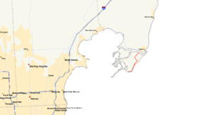
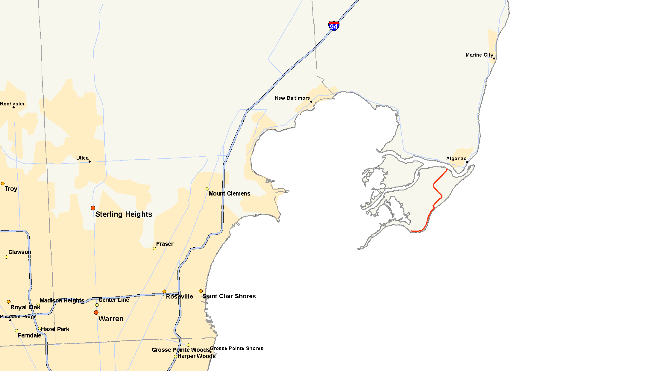
→M-154 is a state trunkline highway in the U.S. state of Michigan. It is entirely on Harsens Island at the mouth of the St. Clair River. It is one of only three trunklines in Michigan on islands. The other two are M-134 on Drummond Island and M-185 on Mackinac Island. Access to Harsens Island and M-154 is provided by ferry which runs year round and costs $7.00 for passenger vehicles and trucks.
Contents
Route description
M-154 begins where Green Road ends on Harsens Island at the mouth of the St. Clair River. From there the road travels northward around the east edge of the island for about 2.5 miles (4.0 km) before it cuts a block inland. It continues on to the northeast, still as Green Road until it reaches an intersection with La Croix Road, at which point it turns northwest. It continues on this path before curving back around to the northeast on Columbine Street where it continues up to an intersection with Channel Drive, where it turns west and terminates at the Harsens Island Ferry dock. The road drives primarily through sparsely populated areas except where it abuts the shore lines where denser housing exists.
History
M-154 has existed on Harsens Island since 1931. The original routing started in the northeast corner of the island travelling down Channel Drive to Little Avenue, which does not exist in its entirety today. From here it the connected LaCroix Road and matched up with the present day alignment at this point. The following year, rather than routing M-154 onto Little Avenue, it remains on LaCroix Road where it curves onto Columbine Street to North Channel Road where it terminates at the present day ferry dock. Since then the only modification has been to curve the LaCroix Road and Columbine Street intersection.[1]
Major intersections
The entire highway is on Harsens Island, St. Clair County.
Mile[2] Destinations Notes 0.000 End of Green Road 6.125 Harsens Island Ferry Landing 1.000 mi = 1.609 km; 1.000 km = 0.621 mi References
- ^ a b Bessert, Christopher J. (October 22, 2006). "Michigan Highways: Highways 140 through 159". Michigan Highways. http://www.michiganhighways.org/listings/MichHwys140-159.html#M-154. Retrieved November 23, 2006.
- ^ a b Michigan Department of Transportation (2001). Control Section/Physical Reference Atlas (Map). http://mdotwas1.mdot.state.mi.us/public/maps/pr/. Retrieved January 25, 2008.
Categories:- State highways in Michigan

Wikimedia Foundation. 2010.