- Plettenberg
-
This article is about the town in Germany. For other uses, see Plettenberg (disambiguation).
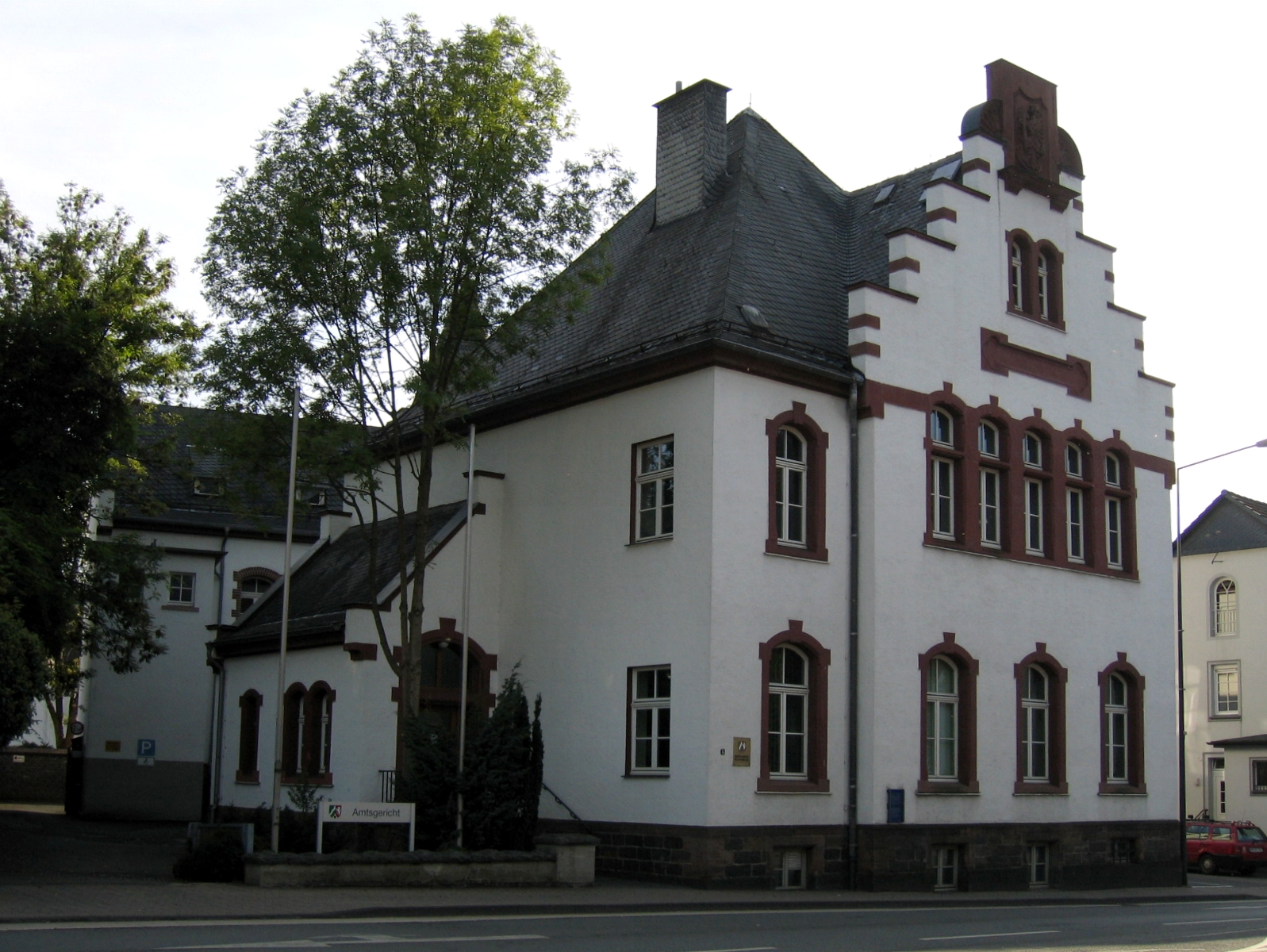
Plettenberg District court house in Plettenberg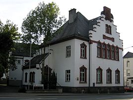


 PlettenbergLocation of the town of Plettenberg within Märkischer Kreis district
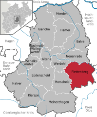

Coordinates 51°13′N 7°53′E / 51.21667°N 7.88333°ECoordinates: 51°13′N 7°53′E / 51.21667°N 7.88333°E Administration Country Germany State North Rhine-Westphalia Admin. region Arnsberg District Märkischer Kreis Mayor Klaus Müller (SPD) Basic statistics Area 96.29 km2 (37.18 sq mi) Elevation 194 - 593 m Population 26,321 (31 December 2010)[1] - Density 273 /km2 (708 /sq mi) Other information Time zone CET/CEST (UTC+1/+2) Licence plate MK Postal code 58840 Area code 02391 Website www.plettenberg.de Plettenberg is a town in the Märkischer Kreis, in North Rhine-Westphalia, Germany.
Contents
Geography
Plettenberg is located in the east of the Sauerland hills. The highest elevation of the city area is in the Ebbegebirge with 593 m above sea level, the lowest elevation with 194 m near Teindeln. The city is spread between the four valleys of the rivers Lenne, Else, Oester and Grüne.
Division of the town
Plettenberg consists of 5 districts:
- Plettenberg (city center) (14,012 inhabitants)
- Eiringhausen (4,905 inhabitants)
- Holthausen/upper Elsetal (3,985 inhabitants)
- Oestertal (3,055 inhabitants)
- Ohle (2,825 inhabitants)
History
Probably the first written proof of Plettenberg was made in a document of Anno II, archbishop of Cologne, at that time named Heslipho. The name was later changed to Plettenberg, as the name of the noble family von Plettenberg, who owned virtually all of the city and surrounding lands.
The Dukes of the Mark bought the town from Cologne, who in 1301 built the castle Schwarzenberg (which was destroyed by fire in 1864). In 1387, Count Engelbert III granted the town some privileges, it received full city rights in 1397 from Count Dietrich von der Mark. At the same time, the city was fortified. The city blossomed in the following centuries thanks to mining and iron casting, as well as trading with the Hanseatic League.
In 1941, the city was enlarged to its current size, when the former city and the surrounding Amt were merged.
International relations
Main article: List of twin towns and sister cities in GermanyThe city has partnerships with Bludenz (Austria) since 1988, Schleusingen (Thuringia, Germany) since 1990 and Wrexham, Wales.
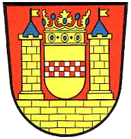
Coat of arms
The coat of arms shows the coat of arms of the counts of Mark in the center. It is displayed between two towers. The coat of arms was granted together with the city rights. In 1794, the crown atop the shield was added in seals of the city. In 1840, the colored version on a shield was adopted.
In 1912, the city council agreed on the historical coat of arms, but the Königliche Heroldsamt in Berlin, which was responsible for the official approval, denied it - at that time the coat of arms of cities were supposed to be crowned by a city wall. However the city council did not want to repeat the symbols (city wall and crown) which was already present in the coat of arms, thus the coat of arms was not officially granted.
After Plettenberg merged with the municipalities Plettenberg-Land and Ohle in 1940, the council had the decide on the coat of arms again. This time it was officially granted on September 28, 1942, however provisional due to the war. Yet after the lost war, the coat of arms was never revoked.
The coat of arms of the municipality Plettenberg-Land showed a silver-blue shield split vertically, the symbol of the master of Plettenberg. It is overlayed with the red-and-white chequered bar of the Mark. The coat of arms was designed by Otto Hupp, and was granted on January 16, 1935. The coat of arms of the Amt Plettenberg was very similar, it only had an additional red shell in the top-left corner as the symbol of the masters of Ohle. Also designed by Otto Hupp it was granted on July 13, 1936.
The coat of arms of the municipality Ohle shows the Saint Martin of Tours splitting his coat to share with the beggar. Saint Martin is the patron saint of the church of Ohle. A small escutcheon is placed next to the Saint, showing a red shell on yellow ground, the symbol of the masters of Ohle. The coat of arms was also designed by Otto Hupp, and was granted on October 17, 1935.
References
- ^ "Amtliche Bevölkerungszahlen" (in German). Landesbetrieb Information und Technik NRW. 31 December 2010. http://www.it.nrw.de/statistik/a/daten/amtlichebevoelkerungszahlen/index.html.
External links
- Official site (German)
Altena | Balve | Halver | Hemer | Herscheid | Iserlohn | Kierspe | Lüdenscheid | Meinerzhagen | Menden | Nachrodt-Wiblingwerde | Neuenrade | Plettenberg | Schalksmühle | Werdohl Categories:
- Towns in North Rhine-Westphalia
- Märkischer Kreis


Wikimedia Foundation. 2010.