- Connemara
-
For the region on Jupiter's moon Europa, see Conamara Chaos. For the breed of horse, see Connemara pony.
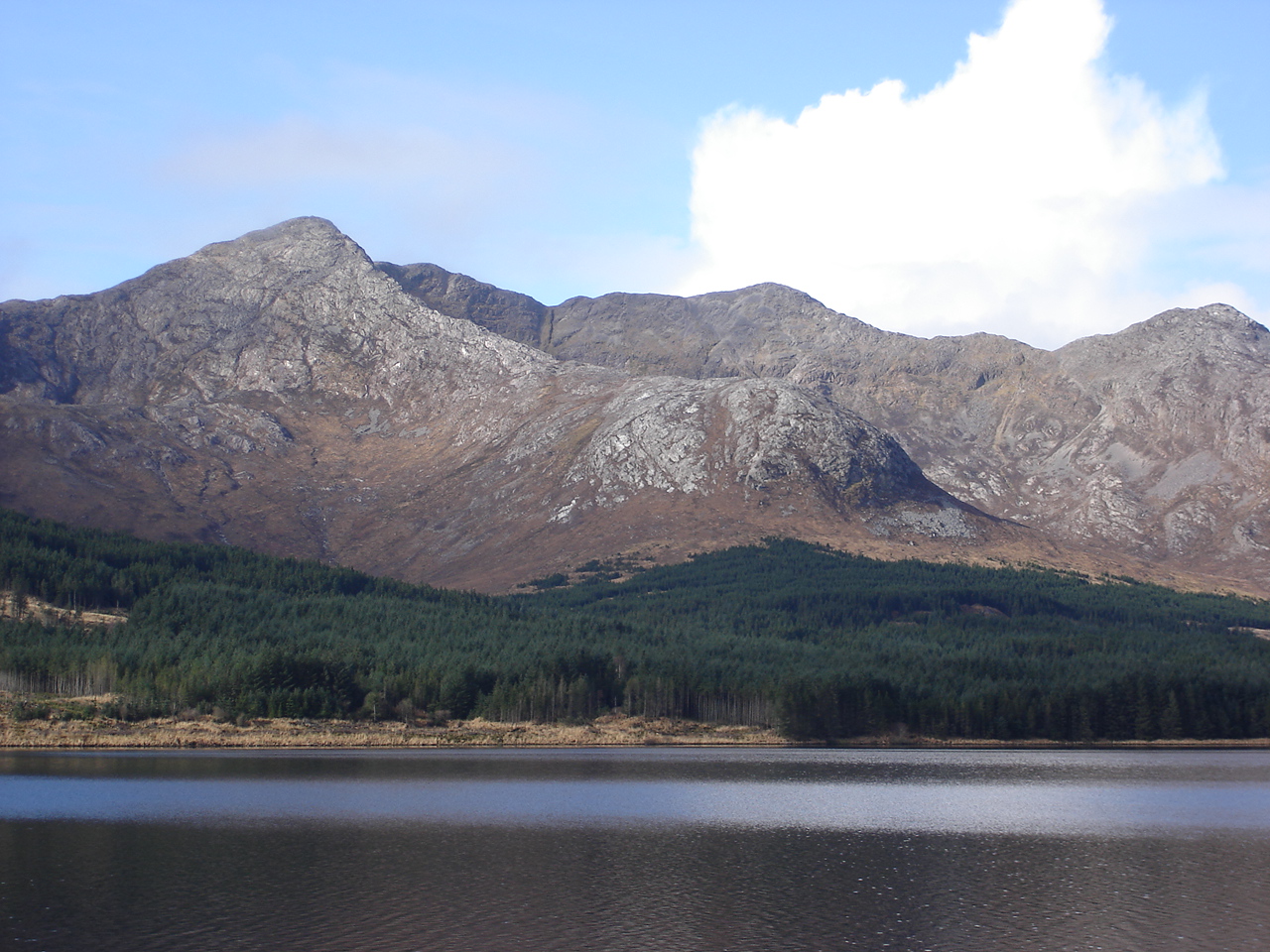
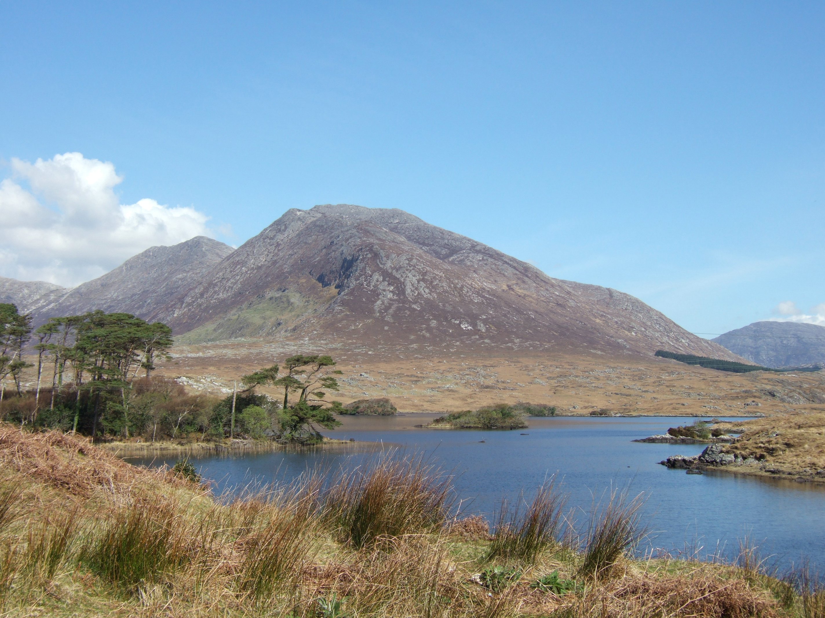
 Twelve Bens.
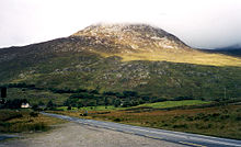 Connemara on a cloudy day.
 A view of Connemara, taken from the N59 road.
Connemara (Irish: Conamara) is a district in the west of Ireland consisting of a broad peninsula between Killary Harbour and Kilkieran Bay in the west of County Galway.
Contents
Overview
The term Connemara is frequently used (although incorrectly) to describe all of County Galway west of Lough Corrib. It is also used to describe the Gaeltacht (Irish-speaking areas) of western County Galway; however, this is inaccurate as some of these areas are outside of the traditional boundary of Connemara. Another misconception is that Connemara's eastern boundary ends around Inverin and Maam Cross.[citation needed]
Etymology
"Connemara" derives from the tribal name Conmacne Mara, which designated a branch of the Conmacne, an early tribal grouping that had a number of branches located in different parts of Connacht. Since this particular branch of the Conmacne lived by the sea, they became known as the Conmacne Mara. (Sea in Irish is muir, genitive mara, hence "of the sea".) The area in the east of what is now Connemara was called Delbhna Tír Dhá Locha.
Geography
Connemara lies in the territory of Iar Connacht, "West Connacht", which is the portion of County Galway west of Lough Corrib. Connemara was traditionally divided into North Connemara and South Connemara. The mountains of the Twelve Bens and the Owenglin River, which flows into the sea at An Clochán/Clifden, marked the boundary between the two parts. Connemara is bounded on the west, south and north by the Atlantic Ocean. Connemara's land boundary with the rest of County Galway is marked by the Invermore River (which flows into the north of Kilkieran Bay), Loch Oorid, (which lies a few miles west of Maam Cross), and the western spine of the Maumturks mountains. In the north of the mountains, the boundary meets the sea at Killary, a few miles west of Leenaun.
Connemara is composed of the Catholic parishes of Carna, Clifden (Omey and Ballindoon), Ballynakill, Roundstone and Inishbofin.[citation needed] The territory contains the civil parishes of Moyrus, Ballynakill, Omey, Ballindoon and Inishbofin (the last parish was for a time part of the territory of the Clann Uí Mháille, the O Malleys of the territory of Umhall, County Mayo.)
History
The Ó Cadhla (Kealy) clan were the rulers of Connemara up until the 13th century, when they were displaced by the Ó Flaithbertaighs. The latter had fled into Iar Connacht from Maigh Seola during the English invasion of Connacht in the early 13th century.
Like the Ó Cadhla clan, the Mac Conghaile (Conneely) clan was also a branch of the Conmhaicne Mara.[citation needed]
The coast of Connemara consists of a number of peninsulas. The peninsula of Iorras Ainbhtheach (sometimes corrupted to Iorras Aithneach) in the south is the largest and contains the villages of Carna and Kilkieran. The peninsula of Errismore consists of the area west of the village of Ballyconneely. Errisbeg peninsula lies to the south of the village of Roundstone. The Errislannan peninsula lies just south of the town of Clifden. The peninsulas of Kingstown, Aughris, Cleggan and Renvyle are found in the north-west of Connemara. Of the numerous islands off the coast of Connemara, Inishbofin is the largest; other islands include Omey, Inishark, High Island, Friars Island, Feenish and Maínis.
The main town of Connemara is Clifden. The area around the town is rich with megalithic tombs. The famous "Connemara Green marble" is found outcropping along a line between Streamstown and Lissoughter. It was a trade treasure used by the inhabitants of the prehistoric time. It continues to be of great value today. It is available in large dimensional slabs suitable for buildings as well as for smaller pieces of jewellery. It is used for the pendant for the Scouting Ireland Chief Scout's Award, the highest award in Irish Scouting.
Notable towns and villages
- Ballyconneely - (Baile Conaola / Baile Mhic Chonghaile)
- Ballynahinch - (Baile na hInse)
- Carna
- Carraroe - (An Cheathrú Rua)
- Claddaghduff - (An Cladach Dubh)
- Cleggan - (An Cloigeann)
- Clifden - (An Clochán)
- Inverin - (Indreabhán)
- Kilkieran - (Cill Chiaráin)
- Leenaun - (An Lionán / Leenane)
- Letterfrack - (Leitir Fraic)
- Lettermore - (Leitir Móir)
- Lettermullen - (Leitir Mealláin)
- Maum - (An Mám , also 'Maam')
- Recess - (Sraith Salach)[1]
- Renvyle - (Rinn Mhaoile)
- Rosmuck - (Ros Muc)
- Roundstone - (Cloch na Rón)
Notable islands
- Inishbofin - (Inis Bó Finne)
- Omey Island - (Iomaidh)
Other uses
- French singer Michel Sardou had an international hit with the song "Les Lacs du Connemara" in 1981.
- The Irish drinking song "The Hills of Connemara" has been recorded and performed by a number of Irish and Celtic-themed bands.
- Poet Carl Sandburg's home of 22 years in Flat Rock, North Carolina, which is now a national monument, is named after the Connemara region.
- Conamara Chaos is a region of chaotic terrain on Jupiter's moon Europa.
Annalistic references
- 807. A slaughter was made of the Conmaicni by the foreigners.
Notable people associated with Connemara
Indian prince and cricketing superstar Maharaja Jam Sahib of Nawanagar, the first head of state to make an official visit to the newly-founded Irish Free State, bought Ballynahinch Castle estate and visited the area every year till his death in 1932.
Austrian philosopher Ludwig Wittgenstein was a temporary resident, for some months in 1948, at Rosroe on Killary Harbour.
Cartographer Tim Robinson has lived many years in Connemara and published books on the area.
See also
- Alcock and Brown's first non-stop flight across the Atlantic crash landed near Clifden
- Aran Islands (day trips from Rossaveal)
- Connacht Irish
- Connemara Heritage & History Centre
- Connemara National Park
- Lough Corrib
- The Twelve Pins and Maumturks mountains
- The Western Way (Long-distance trail)
- The Connemara Pony
Coordinates: 53°30′05″N 9°50′50″W / 53.501321°N 9.847183°W
References
- ^ Ordnance Survey of Ireland map 44 spells it Sraith Salach.
Categories:- Geography of County Galway
- Gaeltacht places in County Galway
- O'Flaherty dynasty

Wikimedia Foundation. 2010.