- Óföldeák
-
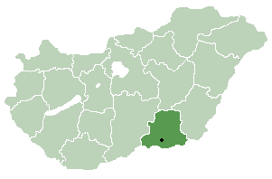
Óföldeák Country  Hungary
County Csongrád Area – Total 35.09 km2 (13.5 sq mi) Population (2002) – Total 522 – Density 15/km2 (38.8/sq mi) Time zone CET (UTC+1) – Summer (DST) CEST (UTC+2) Postal code 6923 Area code(s) 62 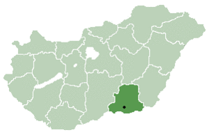
Óföldeák is a village in Csongrád county, in the Southern Great Plain region of southern Hungary.
Geography
It covers an area of 35.09 km2 (14 sq mi) and has a population of 522 people (2002).
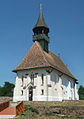
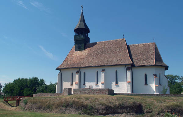
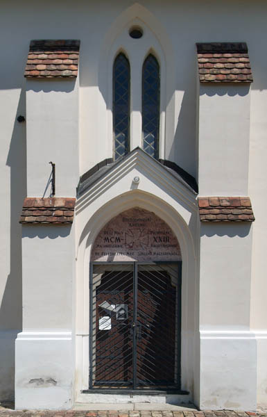
Képgaléria
-
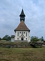
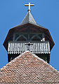
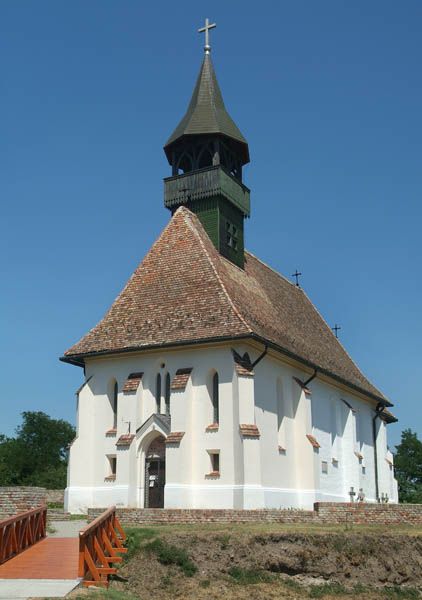
Római katolikus templom
-
-
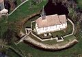
A templom légifotója
-
-

-

External links
Cities and towns Csanádpalota · Csongrád · Hódmezővásárhely · Kistelek · Makó · Mindszent · Mórahalom · Sándorfalva · Szentes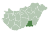
Villages Algyő · Ambrózfalva · Apátfalva · Árpádhalom · Ásotthalom · Baks · Balástya · Bordány · Csanádalberti · Csanytelek · Csengele · Derekegyház · Deszk · Domaszék · Dóc · Eperjes · Fábiánsebestyén · Felgyő · Ferencszállás · Forráskút · Földeák · Királyhegyes · Kiszombor · Klárafalva · Kövegy · Kübekháza · Magyarcsanád · Maroslele · Mártély · Nagyér · Nagylak · Nagymágocs · Nagytőke · Óföldeák · Ópusztaszer · Öttömös · Pitvaros · Pusztamérges · Pusztaszer · Röszke · Ruzsa · Szatymaz · Szegvár · Székkutas · Tiszasziget · Tömörkény · Újszentiván · Üllés · Zákányszék · ZsombóOther topics History · Geography · Government · Economy · Culture · TourismCoordinates: 46°18′N 20°27′E / 46.3°N 20.45°E
Categories:- Populated places in Csongrád county
- Csongrád county geography stubs
-


Wikimedia Foundation. 2010.