- Ohio State Route 534
-
State Route 534
Route information Maintained by ODOT Length: 69.41 mi[3] (111.70 km) Existed: 1937[1][2] – present Major junctions South end: 
 US 62 / SR 173 near Salem
 US 224 near Canfield
 I-76 near Craig Beach
 US 422 near Warren
 US 322 near Orwell
 US 6 near Roaming Shores
 I-90 in Harpersfield
 US 20 in Geneva
North end:  SR 531 in Geneva-on-the-Lake
Location Counties: Mahoning, Trumbull, Ashtabula Highway system Ohio highways
Interstates • U.S. Routes • State Routes←  SR 533
SR 535  →
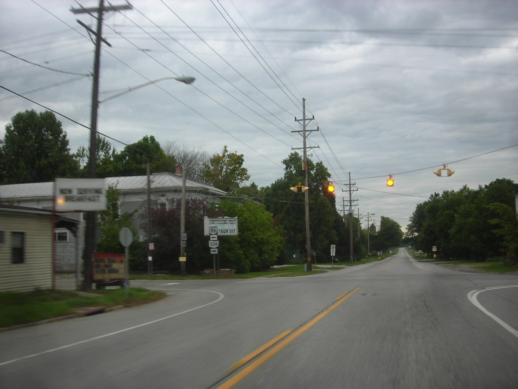
→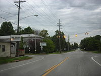 Ohio State Route 534's intersection in Windsor.
State Route 534 (SR 534, OH 534) is a north–south state highway in the northeastern portion of the U.S. state of Ohio. The southern terminus of SR 534 is at its junction with the duplex of U.S. Route 62 (US 62) and SR 173 nearly 4.50 miles (7.24 km) west of Salem. Its northern terminus is a curve in Geneva-on-the-Lake where the highway directly transitions into SR 531 at that route's western terminus.
Contents
Route description
SR 534's path takes it through the western portions of Mahoning, Trumbull and Ashtabula Counties. There are no segments of this highway that are included within the National Highway System (NHS). The NHS is a network of highways deemed most important for the nation's economy, mobility and defense.[4]
History
SR 534 debuted in 1937. It was originally routed along the majority of its current alignment, excepting a short stretch in northwestern Ashtabula County. Prior to its inception, SR 534 consisted of previously un-numbered roads south of Windsor, and SR 45 from Windsor north to Geneva-on-the-Lake.[1][2]
Prior to 1962, SR 534 utilized the Harpersfield Covered Bridge to cross the Grand River near Harpersfield, in the vicinity of its junction with SR 307. In that year, a new alignment of the state highway was constructed, bypassing the covered bridge to the east. As a result, the former alignment that utilized the covered bridge to pass over the Grand River was turned over to Ashtabula County, and re-named as County Road 154 (CR 154).[5][6]
Major intersections
County Location Mile Destinations Notes Mahoning Goshen Township 0.00 US 62
SR 173Southern terminus on Columbiana–Mahoning County Line 3.02  SR 165
Four-way stop intersection 3.41  SR 14
SR 14Berlin Township 8.60 US 224Milton Township 14.10 I-76Exit 54 off of I-76, a diamond interchange Trumbull Braceville Township 21.98  SR 5
SR 5Signalized intersection 24.26  SR 82
SR 82Four-way stop intersection with flashing beacon Southington Township 28.81 US 422Signalized intersection 29.57  SR 305
Five-way stop intersection Farmington Township 35.46  SR 88
SR 88Mesopotamia Township 40.15  SR 87
SR 87Ashtabula Windsor Township 45.63 US 322
 SR 86
SR 86Southern terminus of SR 86, which runs concurrently with
SR 534 heading north from intersection;
US 322 crosses east–to–west46.59 SR 86 northT-intersection marking northwestern split of SR 86/SR 534 duplex;
SR 86 departs to the northwestHartsgrove Township 50.94 US 6Traffic circle Trumbull Township 54.83  SR 166 west
Eastern terminus of SR 166 Harpersfield Township 61.83  SR 307
62.55 I-90Exit 218 off of I-90, a diamond interchange Geneva 63.95  SR 84
SR 84Signalized intersection 65.08 US 20Signalized intersection Geneva-on-the-Lake 69.41 SR 531 eastNorthern terminus at curve that doubles as western terminus of SR 531 1.000 mi = 1.609 km; 1.000 km = 0.621 mi
Concurrency terminus • Closed/Former • Incomplete access • UnopenedReferences
- ^ a b Ohio Department of Highways (1936) (MrSID). Official Ohio Highway Map (Map). Cartography by ODOH. http://www.dot.state.oh.us/Divisions/TransSysDev/Innovation/prod_services/Documents/StateMaps/otm1936a.sid. Retrieved 2011-03-24.
- ^ a b Ohio Department of Highways (1937) (MrSID). Official Ohio Highway Map (Map). Cartography by ODOH. http://www.dot.state.oh.us/Divisions/TransSysDev/Innovation/prod_services/Documents/StateMaps/otm1937a.sid. Retrieved 2011-03-24.
- ^ Ohio Department of Transportation. "Technical Services Straight Line Diagrams". http://www.odotonline.org/techservapps/SLD/default.htm. Retrieved 2006-11-16.
- ^ Federal Highway Administration (December 2003) (PDF). National Highway System: Ohio (Map). http://www.fhwa.dot.gov/planning/nhs/maps/oh/oh_Ohio.pdf. Retrieved 2011-03-22.
- ^ Ohio Department of Highways (1961) (MrSID). Official Ohio Highway Map (Map). Cartography by ODOH. http://www.dot.state.oh.us/Divisions/TransSysDev/Innovation/prod_services/Documents/StateMaps/otm1961a.sid. Retrieved 2011-03-24.
- ^ Ohio Department of Highways (1962) (MrSID). Official Ohio Highway Map (Map). Cartography by ODOH. http://www.dot.state.oh.us/Divisions/TransSysDev/Innovation/prod_services/Documents/StateMaps/otm1962a.sid. Retrieved 2011-03-24.
External links
Categories:- State highways in Ohio
- Mahoning County, Ohio
- Trumbull County, Ohio
- Ashtabula County, Ohio
- Transportation in Ashtabula County, Ohio
- Transportation in Trumbull County, Ohio
- Transportation in Mahoning County, Ohio

Wikimedia Foundation. 2010.