Nižný Čaj — (Village) Administration Pays Slovaquie … Wikipédia en Français
Nižný Klátov — (Village) Administration Pays Slovaquie … Wikipédia en Français
Nižný Lánec — (Village) Administration Pays Slovaquie … Wikipédia en Français
Nižný Lánec — Košice okolie District in the Kosice Region Nižný Lánec is a village and municipality in Košice okolie District in the Kosice Region of eastern Slovakia. History In historical records, the village was first … Wikipedia
Nižný Klátov — Košice okolie District in the Košice Region Nižný Klátov (German: Beckseifen, Beckenseifen; Hungarian: Alsótőkés) (1332/5 Inferior Turastukes, 1397 Al Teukes, 1400 Inferior Bokkenzeifin, 1580 Nieder Beckseyffen) is a village and municipality in … Wikipedia
Vyšný Čaj — (Village) Administration Pays Slovaquie … Wikipédia en Français
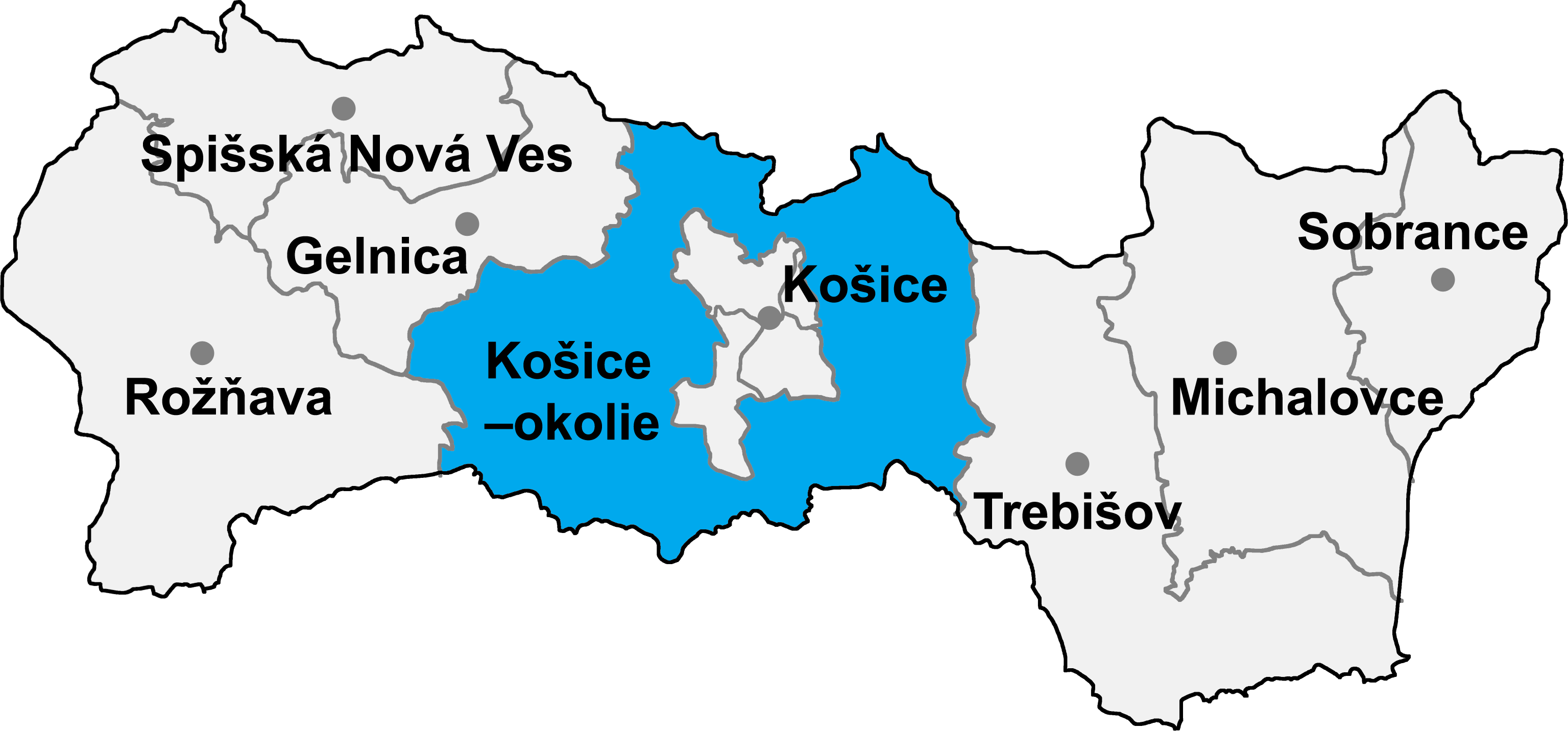
District de Košice-Okolie — 48°43′N 21°15′E / 48.717, 21.25 … Wikipédia en Français
List of municipalities and towns in Slovakia — Slovakia This is a comprehensive list of municipalities and towns in Slovakia. For lists of towns and municipalities sorted by Regions see the individual articles on Regions. For an outdated list of towns only in Slovakia see also List of towns… … Wikipedia
Medzev — Wappen Karte … Deutsch Wikipedia
Košické Oľšany — Wappen Karte … Deutsch Wikipedia