- Tenterfield Shire Council
Infobox Australian Place | type = lga
name = Tenterfield Shire
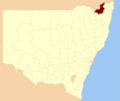
caption = Location in NSW
state=New South Wales
region=New England
area=7332
seat=Tenterfield (247 Rouse Street)cite web
title=Tenterfield Shire Council
publisher = Department of Local Government
url = http://www.dlg.nsw.gov.au/dlg/dlghome/dlg_CouncilContactDetails.asp?slacode=7400
accessdate = 2006-12-02 ]
est =
pop=6,805 cite web
publisher =Australian Bureau of Statistics
title=Regional Population Growth, Australia, 2004-05
url = http://abs.gov.au/Ausstats/abs@.nsf/Latestproducts/3218.0Main%20Features22004-05?opendocument&tabname=Summary&prodno=3218.0&issue=2004-05&num=&view=
accessdate = 2006-12-02 ]
council=Tenterfield Shire Council
url=http://www.tenterfield.nsw.gov.au
mayor=Toby Smith
deputymayor=John Macnish
fedgov =New England
stategov =Northern Tablelands, Lismore
near-nw= Stanthorpe (Qld)
near-w = Inverell
near-sw= Glen Innes Severn
near-s = Glen Innes Severn
near-se= Clarence Valley
near-e = Richmond Valley
near-ne= Kyogle
near-n = Warwick (Qld)Tenterfield Shire Council is the name of the Local Government Area in the New England region of
New South Wales ,Australia . It is on theNew England Highway .Demographics
According to the [http://www.abs.gov.au Australian Bureau Statistics] [cite web
publisher =Australian Bureau of Statistics
title=Regional Population Growth, Australia, 2005-06 (catalogue no.: 3218.0)
url = http://abs.gov.au
accessdate = 2007-03-12 ] , there:- were 6,909 people as at 30 June 2006, the 117th largest Local Government Area in New South Wales. It was equal to 0.1% of the New South Wales population of 6,827,694
- was an increase of 87 people over the year to 30 June 2006, the 90th largest population growth in a Local Government Area in New South Wales. It was equal to 0.1% of the 58,753 increase in the population of New South Wales
- was, in percentage terms, an increase of 1.3% in the number of people over the year to 30 June 2006, the 32nd fastest growth in population of a Local Government Area in New South Wales. In New South Wales the population grew by 0.9%
- was an increase in population over the 10 years to 30 June 2006 of 229 people or 3.4% (0.3% in annual average terms), the 84th highest rate of a Local Government Area in New South Wales. In New South Wales the population grew by 622,966 or 10% (1.0% in annual average terms) over the same period.
Incomes
According to the [http://www.abs.gov.au Australian Bureau Statistics] [cite web
publisher =Australian Bureau of Statistics
title=Regional Wage and Salary Earner Statistics, Australia (catalogue no.: 5673.055.003)
url = http://abs.gov.au
accessdate = 2007-03-11 ] during 2003-04, there:- were 1,663 wage and salary earners (ranked 124th in New South Wales and 403rd in Australia, 0.1% of New South Wales's 2,558,415 and less tan 0.1% of Australia's 7,831,856)
- was a total income of $49,374,607 (around $49 million) (ranked 126th in New South Wales and 410th in Australia, less than 0.1% of New South Wales's $107,179,688,262 (around $107 billion) and less than 0.1% of Australia's $304,034,755,876 (around $304 billion))
- was an estimated
average income per wage and salary earner of $29,690 (ranked 161st in New South Wales and 539th in Australia, 72% of New South Wales's $41,407 and 76% of Australia's $38,820)- was an estimated
median income per wage and salary earner of $27,824 (ranked 150th in New South Wales and 503rd in Australia, 78% of New South Wales's $35,479 and 81% of Australia's $34,149).Main towns/villages
The Shire includes the town of Tenterfield and villages including Drake, Jennings, Liston, Legume, Bolivia, Stannum, Torrington, Urbenville and Mingoola.
References
Wikimedia Foundation. 2010.