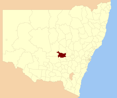
Forbes Shire — Shire of Forbes Lage des Forbes Shire in New South Wales Gliederung … Deutsch Wikipedia
Cowra Shire Council — Infobox Australian Place | type = lga name = Cowra Shire state = nsw caption = Location in NSW pop = 13,260Census 2001 AUS|id=LGA12350|name=Cowra (A) (Local Government Area)|accessdate=2007 06 30|quick=on] area = 2810 est = seat = Cowra (116… … Wikipedia
Lachlan Shire Council — Infobox Australian Place | type = lga name = Lachlan Shire state = nsw caption = Location in New South Wales pop = 7,180 (2001 census)Census 2001 AUS|id=LGA14600|name=Lachlan (A) (Local Government Area)|accessdate=2007 06 30] area = 7431 est =… … Wikipedia
Bland Shire Council — Infobox Australian Place | type = lga name = Bland Shire caption = location in NSW state=New South Wales region=Central West area=8560 seat=West Wyalongcite web title=Bland Shire Council publisher = Department of Local Government url = http://www … Wikipedia
Weddin Shire Council — Infobox Australian Place | type = lga name = Weddin Shire state = nsw caption = Location in New South Wales pop = 3,653Census 2001 AUS|id=LGA18100|name=Weddin (A) (Local Government Area)|accessdate=2007 06 30|quick=on] area = 3410 est = seat =… … Wikipedia
Parkes Shire Council — Infobox Australian Place | type = lga name = Parkes Shire state = nsw caption = Location in New South Wales pop = 14,433Census 2001 AUS|id=LGA16200|name=Parkes (A) (Local Government Area)|accessdate=2007 06 30|quick=on] area = 5958 est = seat =… … Wikipedia
Cabonne Shire Council — Infobox Australian Place | type = lga name = Cabonne state = nsw caption = Location in New South Wales pop = 11,864Census 2001 AUS|id=LGA11400|name=Cabonne (A) (Local Government Area)|accessdate=2007 06 30|quick=on] area = est = seat = Molong (99 … Wikipedia
Forbes, New South Wales — Infobox Australian Place | type = town name = Forbes state = nsw caption = Court house built in 1880 lga = Forbes Shire Council postcode = 2871 pop = 7,094 (2001 Census) est = 1861 stategov = Dubbo fedgov = Calare dist1 = 33 | location1 = Parkes… … Wikipedia
Shire of Corrigin — Infobox Australian Place | type = lga name = Shire of Corrigin state = wa region = Wheatbelt area = 3095 est = 1913 seat = Corrigin pop = 1,145 (2006 census) logosize = 143 imagesize= 180 caption = Location in Western Australia url =… … Wikipedia
Wakool Shire — Shire of Wakool New South Wales Location in New South Wales Population: 4,427(2009) … Wikipedia