Upper Lachlan Shire Council — Infobox Australian Place | type = lga name = Upper Lachlan state = nsw caption = Location in NSW pop = 7,316 area = 7102 est = seat = Crookwell (44 Spring Street)cite web title=Upper Lachlan Shire Council publisher = Department of Local… … Wikipedia
Lachlan Shire — Shire of Lachlan Lage des Lachlan Shire in New South Wales Gliederung … Deutsch Wikipedia
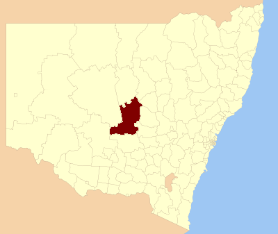
Upper Lachlan Shire — Lage des Upper Lachlan Shire in New South Wales Gliederung … Deutsch Wikipedia
Bogan Shire Council — Infobox Australian Place | type = lga name = Bogan Shire state = nsw caption = Location in New South Wales pop = 3,105 cite web publisher = Australian Bureau of Statistics title=Regional Population Growth, Australia, 2004 05 url =… … Wikipedia
Cowra Shire Council — Infobox Australian Place | type = lga name = Cowra Shire state = nsw caption = Location in NSW pop = 13,260Census 2001 AUS|id=LGA12350|name=Cowra (A) (Local Government Area)|accessdate=2007 06 30|quick=on] area = 2810 est = seat = Cowra (116… … Wikipedia
Parkes Shire Council — Infobox Australian Place | type = lga name = Parkes Shire state = nsw caption = Location in New South Wales pop = 14,433Census 2001 AUS|id=LGA16200|name=Parkes (A) (Local Government Area)|accessdate=2007 06 30|quick=on] area = 5958 est = seat =… … Wikipedia
Narromine Shire Council — Infobox Australian Place | type = lga name = Narromine state = nsw caption = Location in New South Wales pop = 6,611Census 2001 AUS|id=LGA15850|name=Narromine (A) (Local Government Area)|accessdate=2007 06 30|quick=on] area = 5264 est = seat =… … Wikipedia
Weddin Shire Council — Infobox Australian Place | type = lga name = Weddin Shire state = nsw caption = Location in New South Wales pop = 3,653Census 2001 AUS|id=LGA18100|name=Weddin (A) (Local Government Area)|accessdate=2007 06 30|quick=on] area = 3410 est = seat =… … Wikipedia
Forbes Shire Council — Infobox Australian Place | type = lga name = Forbes Shire state = nsw caption = Location in New South Wales pop = 9,691 Census 2001 AUS|id=LGA12900|name=Forbes (A) (Local Government Area)|accessdate=2007 06 30|quick=on] area = 4720 est = seat =… … Wikipedia
Wollondilly Shire Council — Infobox Australian Place | type = lga name = Wollondilly Shire state = nsw caption = Location in NSW pop = 40,344Census 2006 AUS|id=LGA18400|name=Wollondilly (A) (Local Government Area)|accessdate=2008 07 22|quick=on] area = 2560 est = seat =… … Wikipedia