- Meander Valley Council
-
Meander Valley Council
Tasmania
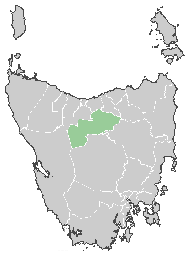
Meander Valley CouncilPopulation: 19,694[1] Coordinates: 41°32′24″S 146°31′12″E / 41.54°S 146.52°ECoordinates: 41°32′24″S 146°31′12″E / 41.54°S 146.52°E Area: 3821 km² (1,475.3 sq mi) Mayor: Mark Shelton Council Seat: Westbury Region: Great Western Tiers State District: Lyons Federal Division: Lyons LGAs around Meander Valley Council: Kentish Latrobe West Tamar West Coast Meander Valley Council Launceston Central Highlands Central Highlands Northern Midlands The Meander Valley Council is a Local Government Area of Tasmania. As its name suggests, it covers a large area of the Meander River in the central north of the state, which flows through the municipality's major centre of Deloraine.
Smaller towns in the area include Carrick, Hagley, Hadspen, Mole Creek, Meander, and Westbury. The council area also covers the outer west Launceston suburbs of Blackstone Heights and Prospect, and the satellite town of Hadspen.
A majority of the Great Western Tiers mountain range is within the Meander Valley municipal area.
References
- ^ "3218.0 - Regional Population Growth, Australia, 2009-10". Australian Bureau of Statistics. 31 March 2011. http://www.abs.gov.au/AUSSTATS/abs@.nsf/DetailsPage/3218.02009-10?OpenDocument. Retrieved 23 August 2011. Estimated resident population (ERP) at 30 June 2010.
External links
Categories:- Local Government Areas of Tasmania
- Central Highlands (Tasmania)
- Northern Tasmania
- Australia government stubs
Wikimedia Foundation. 2010.