- Myrniong, Victoria
-
Myrniong
Victoria
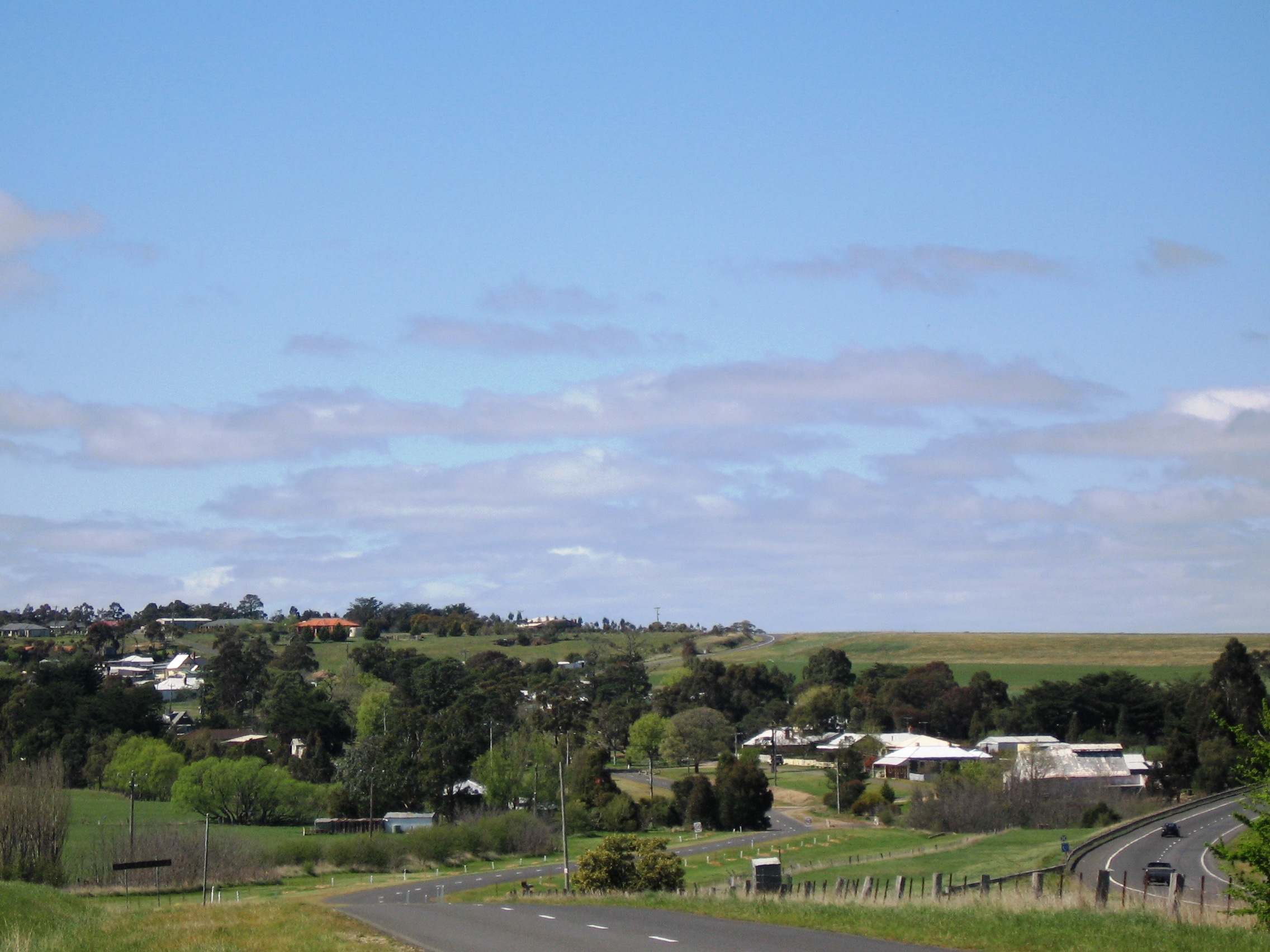
Myrniong seen from the west. The Western Freeway can be seen to the right.
 Myrniong
Population: 210[1] Coordinates: 37°37′S 144°20′E / 37.617°S 144.333°ECoordinates: 37°37′S 144°20′E / 37.617°S 144.333°E Location: - 72 km (45 mi) NW of Melbourne
- 15 km (9 mi) W of Bacchus Marsh
LGA: Shire of Moorabool State District: Melton Federal Division: Ballarat Myrniong (
 /ˈmɜrnɒŋ/, locally [ˈmɜːnɔŋ])[2] is a town in Victoria, Australia. The town is located near the Western Freeway, 72 kilometres (45 mi) north west of the state capital, Melbourne and 15 kilometres (9 mi) west of Bacchus Marsh. Situated close by the Lerderderg River, at the 2006 census, Myrniong had a population of 210.[1] The town is in the eastern area of Shire of Moorabool Local government area.
Myrniong was named for the murrnong plant the Aboriginal word for yam daisy, a popular food source. European settlement began in around 1850 with local farmers producing wheat for hungry gold miners at nearby Blackwood. Later production concentrated on beef and dairy.
The Post Office opened on 6 September 1858 as Pentland Hills, was renamed Myrniong in 1872 and closed in 1970. [3]
Myrniong is known for its many bluestone buildings, including the historic Plough Hotel, established in 1859, and the Anglican church. Other attractions in the area include Pykes Creek Reservoir, providing water to the market gardens in nearby Bacchus Marsh and Mount Blackwood, an extinct volcano offering panoramic views over the Wombat State Forest. and Werribee Gorge State Park. An Historic Car Sprint is held in the town each April, and in March an annual music event, 'Myrniong Music in The Park', is a fixture on the Blues music Calendar.
References
- ^ a b Australian Bureau of Statistics (25 October 2007). "Myrniong (L) (Urban Centre/Locality)". 2006 Census QuickStats. http://www.censusdata.abs.gov.au/ABSNavigation/prenav/LocationSearch?collection=Census&period=2006&areacode=UCL236750&producttype=QuickStats&breadcrumb=PL&action=401. Retrieved 2007-10-25.
- ^ Macquarie Dictionary, Fourth Edition (2005). Melbourne, The Macquarie Library Pty Ltd. ISBN 1-876429-14-3
- ^ Premier Postal History, Post Office List, https://www.premierpostal.com/cgi-bin/wsProd.sh/Viewpocdwrapper.p?SortBy=VIC&country=, retrieved 2008-04-11
External links
- Shire of Moorabool Council — Official site
- Myrniong.com — Community site
Towns in the Shire of Moorabool Bacchus Marsh • Ballan • Balliang • Balliang East • Barkstead • Barrys Reef • Beremboke • Blackwood • Blakeville • Bolwarrah • Bullarook • Bullarto South • Bunding • Bungal • Bungaree • Buninyong • Cargerie • Clarendon • Claretown • Clarkes Hill • Coimadai • Colbrook • Dales Creek • Darley • Dunnstown • Durham Lead • Elaine • Fiskville • Glenmore • Glen Park • Gordon • Greendale • Grenville • Hopetoun Park • Ingliston • Korobeit • Korweinguboora • Lal Lal • Leigh Creek • Lerderderg • Long Forest Maddingley • Millbrook • Meredith • Merrimu • Mollongghip • Morrisons • Mount Doran • Mount Egerton • Mount Wallace • Myrniong • Navigators Parwan • Pentland Hills • Pootilla • Rowsley • Scotsburn • Spargo Creek • Springbank • Trentham • Wallace • Warrenheip • Watten Flat • Yendon
Categories:- Towns in Victoria (Australia)
- Victoria (Australia) geography stubs

Wikimedia Foundation. 2010.