- New York State Route 296
-
NYS Route 296
Route information Maintained by NYSDOT Length: 7.90 mi[2] (12.71 km) Existed: 1930[1] – present Major junctions South end:  NY 23A in Hunter
North end:  NY 23 in Windham
Location Counties: Greene Highway system Numbered highways in New York
Interstate • U.S. • N.Y. (former) • Reference • County←  NY 295
NY 297  →
→New York State Route 296 (NY 296) is a short state highway located entirely within both the Catskill Park and Greene County. It connects NY 23A in the village of Hunter with NY 23 near the Windham hamlet of Hensonville.
Despite its brevity, it offers plenty of scenery to the driver as it climbs up from the Schoharie Creek valley and descends again into the Batavia Kill watershed.
Contents
Route description
From the oblique angle at which it intersects Route 23A, 296 climbs almost immediately past tiny Hunter Airport, offering a view of the rarely-climbed north side of Rusk Mountain, one of the Catskill High Peaks, as it does. After a couple of miles it levels off through a mix of woods and fields.
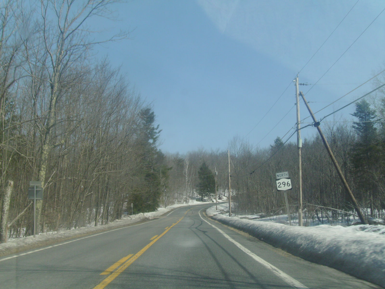
 Route 296 heading northward through Hunter
In this section, views of the Blackhead Range, the rooster-comb signature of the northern Catskills, begin to offer themselves to the northeast. The offices of Black Dome Press, a small publisher of local-interest books which takes its name from the highest of the three peaks, are located along the highway. The only intersecting road of note is Greene County Route 23C, which leads back through East Jewett to 23A at Tannersville.
A mild descent takes the road to a junction with Barnum Road, which leads steeply up to the trailhead at the west end of the Blackheads and a common starting point for hikers trying Thomas Cole Mountain. Bicyclists also favor 296 due to its relatively light automotive traffic, scenery and challenging hills.
After Barnum, the road squeezes past Van Loan Hill and begins to descend more sharply, making several large switchbacks into Big Hollow. Windham High Peak, the northernmost Catskill High Peak, can be seen through the trees at some points across the valley. Upon reaching the bottom, the road passes through the tiny hamlet of Maplecrest, crosses the Batavia Kill and turns northwest to Hensonville, where it ends at 23.
History
NY 296 was assigned as part of the 1930 renumbering of state highways in New York and has not been altered since.[1]
Major intersections
The entire route is in Greene County.
Location Mile[2] Destinations Notes Village of Hunter 0.00 NY 23AWindham 7.90 NY 231.000 mi = 1.609 km; 1.000 km = 0.621 mi References
- ^ a b Standard Oil Company of New York (1930). Road Map of New York (Map). Cartography by General Drafting.
- ^ a b "2008 Traffic Volume Report for New York State" (PDF). New York State Department of Transportation. June 16, 2009. p. 208. https://www.nysdot.gov/divisions/engineering/technical-services/hds-respository/NYSDOT%20TVR%202008%20by%20Route.pdf. Retrieved February 1, 2010.
External links
Categories:- State highways in New York
- Catskills
- Transportation in Greene County, New York

Wikimedia Foundation. 2010.