- Quinapoxet River
Infobox River | river_name = Quinapoxet River
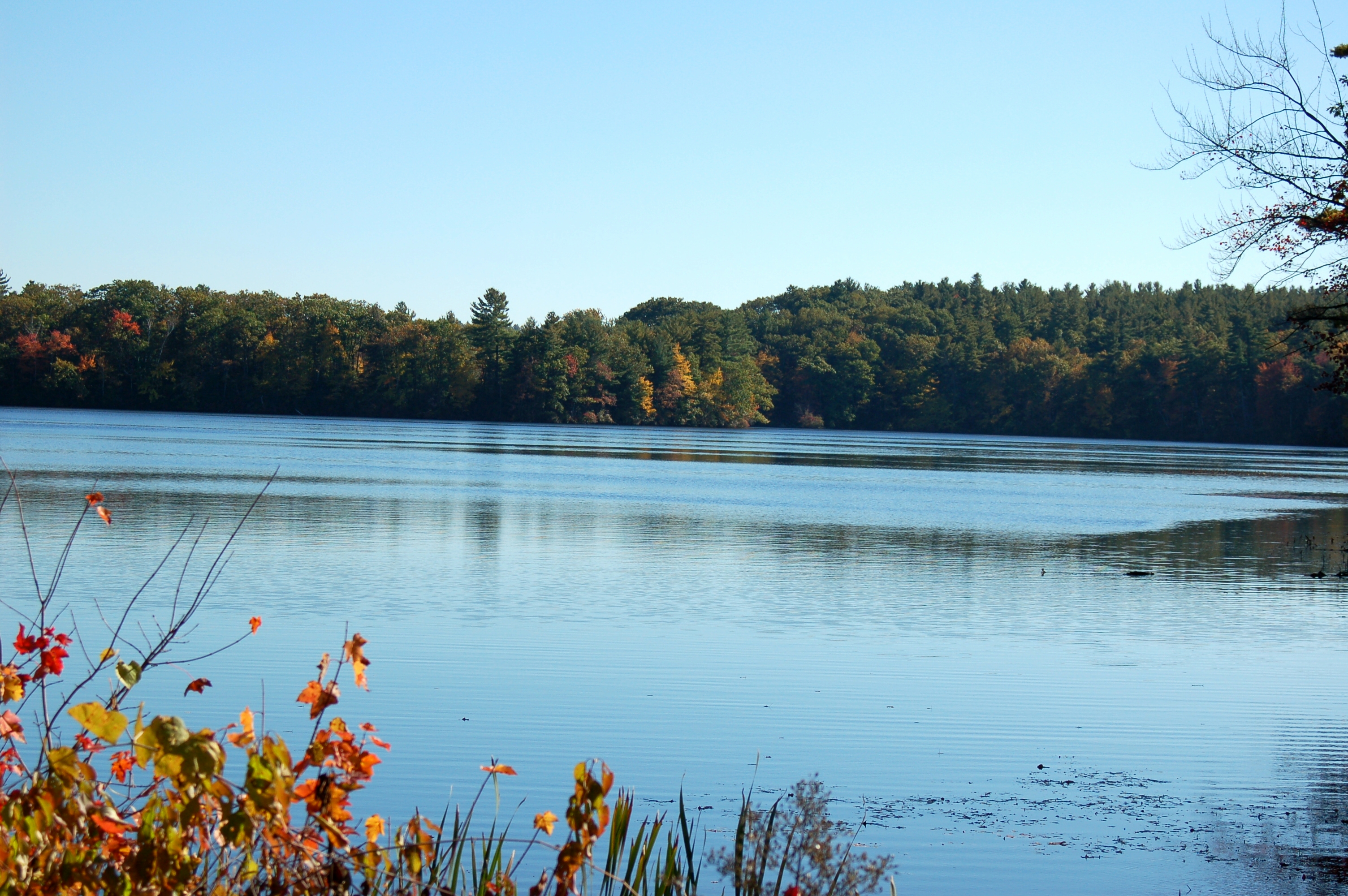
caption = View from Princeton Road in Holden
origin =Princeton, Massachusetts
mouth =Wachusett Reservoir
basin_countries =
length = 10.6 miles (17 km)
elevation = 802 ft (244.4 m)
mouth_elevation = 384 ft (117 m)
discharge = 88 ft³/s (2.49 m³/s)
watershed = 57 mi² (147.6 km²)The Quinapoxet River is part of theNashua River watershed. It is part of theMassachusetts Water Resources Authority water system supplying drinking water to the greater Boston area. It is part of theNashua River Watershed .The Quinapoxet River heads in
Princeton, Massachusetts , the watershed generally known as the Upper Worcester Plateau, or the Monadnock Upland. This watershed tops atWachusett Mountain , the highest feature in the area. Water flows east of this area feed theNashua River Watershed and water flows west of this area feed theWare River Watershed or the Millers River. This river flows through portions of Rutland and Holden before entering the confluence of the Stillwater and Nashua Rivers at theWachusett Reservoir .The Quinapoxet Dam in Holden impounds 1,100.0 million US gallons in the Quinapoxet Reservoir, a
Worcester, Massachusetts drinking water supply, before being released to flow towards theWachusett Reservoir , joining the Stillwater River (to become the south branch of theNashua River ) at the Oakdale section of West Boylston. The city of Worcester can divert up to 36% of the Quinapoxet River water. The Quinapoxet Dam is an earthen dam with a concrete spillway. The outflow is not adjustable so the reservoir only supplies excess water to the Quinapoxet River.The Quinapoxet and Stillwater Rivers are the two major tributaries to the
Wachusett Reservoir . TheWachusett Reservoir serves as the primary source of water for 2.5 million consumers in 43 communities of central and easternMassachusetts . TheU.S. Geological Survey , in cooperation with the Department of Conservation and Recreation, operates stream-flow monitoring gages near the mouths of both rivers. This and other continuous monitoring serves to maintain the overall quality of water within the reservoir. The water of these tributaries to theWachusett Reservoir has been of high quality for decades.About 35% of the Quinapoxet sub-basin is protected open space (Worcester reservoirs' surface water included). The City of Worcester owns the land that immediately surrounds each of its reservoirs and approximately 25% of its entire water supply watershed. It is a highly protected forest with no public access. Furthermore, the Massachusetts Water Resource Authority (
MWRA ) owns much of the land. The Town of Holden owns over 600 acres as the Trout Brook Conservation Area, andMassachusetts Audubon Society owns several hundred acres in the Wachusett Meadow Wildlife Sanctuary in addition to other properties within this sub-basin.The lower Quinapoxet rates on alert for biology, chemistry and hydrology. Chaffin's Brook is considered a "moderately septic polluted stream" and its lower reach has noxious aquatic plants in an impoundment. Trout Brook in Holden is considered to be high quality habitat and have limited disturbance. There are a number of medium yield aquifers surrounding Holden center and to protect this resource the town has passed an aquifer protection bylaw.
References
* [http://ma.water.usgs.gov/projects/Stillwater/stillwater.htm Stillwater River monitoring at Wachusett Reservoir]
* [http://www.nashuariverwatershed.org/5yr_plan/subbasins/quinapoxet.htm Quinapoxet River information]
* [http://ma.water.usgs.gov/projects/Stillwater/quinapoxet.htm Quinapoxet River monitoring at Canada Mills]
* [http://home.manhattan.edu/~walter.matystik/wcb/2/files/boston.htm Court order and statement of facts about MWRA facilities]
Wikimedia Foundation. 2010.