- Moisie River
-
Moisie River 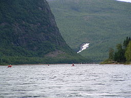
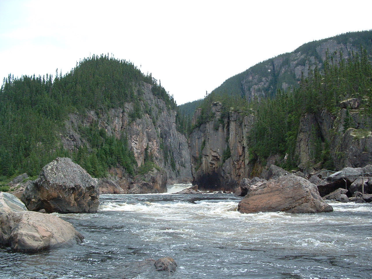
Country Canada Province Quebec Region Côte-Nord Source Lake Opocopa - location Rivière-Mouchalagane - coordinates 52°30′50″N 66°33′56″W / 52.51389°N 66.56556°W Mouth Gulf of Saint Lawrence - location Sept-Îles - elevation 0 m (0 ft) - coordinates 50°12′00″N 66°04′03″W / 50.2°N 66.0675°W Length 410 km (255 mi) [1] Basin 19,200 km2 (7,400 sq mi) [1] Discharge - average 490 m3/s (17,300 cu ft/s) [1] 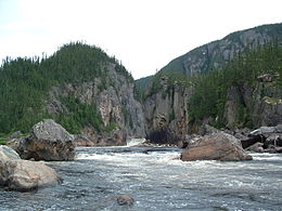 Katchapahun Rapid with Fish Ladder
The Moisie River is a river in eastern Quebec. Called and known as the Nahanni of the East, it is one of the most beautiful wild rivers of North America.[2] It flows south from Lake Opocopa near the Labrador border to the north shore of the Saint Lawrence River east of Sept-Îles, Quebec. The town of Moisie is located at its mouth. The river is 410 km in length and drains an area of 19,200 km2. The length calculated from most commonly used starting point of canoe trips,[3] bridge of highway 389 over Pékans River (at 52°43′48.19″N 67°24′47.31″W / 52.7300528°N 67.4131417°W ) is 373 km.[4]
The river's name may originate from an old French word moïse or moyse meaning "marshy banks" or "moist banks".[2] But this is not certain and other hypotheses exist.[5]
The Innu call it "Mishtashipu", "Great River". As they have done for thousands of years, they continue to use the river to reach their northern hunting and fishing grounds. Large parts of the river were also protected by private fishing clubs. There were a number of attempts in recent times to develop hydroelectric projects on the Moisie. However, in 2003, the Quebec government protected a large part of the river's watershed as an aquatic reserve. This prevents activities such as logging, mining and power projects, but permits traditional uses such as hunting and fly-fishing.
This river is the most important spawning ground for the Atlantic Salmon in eastern North America.
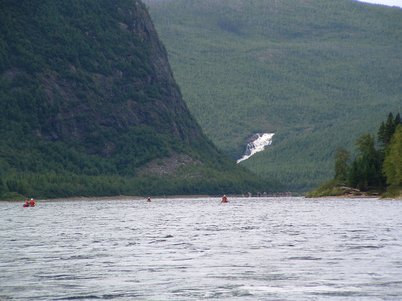
The Moisie River is popular with experienced canoeists who have a taste for whitewater. This mighty river flows through a deep valley of glacial origin. The width of valley varies considerably. The continued and almost uninterrupted impressive panoramas of mountains and cliffs make this an unforgettable canoe expedition.[2][3] The Quebec North Shore & Labrador Railway follows the lower section of the Moisie River and provides access to the Quebec-Labrador plateau from which canoeists can reach its headwaters.
Moisie tributaries include:[4]
- Rivière aux Pékans
- Carheil River (via Pékans)
- Nipissis River
- Caopacho River
- Ouapetec River
- Joseph River
References
- ^ a b c Natural Resources Canada, Atlas of Canada - Rivers
- ^ a b c FQCK (2000). Guide des parcours canotables du Québec, Tome II. pp. 155. ISBN 2-89000-504-6.
- ^ a b Kovac, Lester. "Lower Pékans/Lower Moisie 2006". Archived from the original on 2009-10-27. http://www.webcitation.org/query?url=http://www.geocities.com/lester_kovac/moisie.htm&date=2009-10-26+22:41:44.
- ^ a b "Quebec Canoe Maps". http://www.cartespleinair.org/.
- ^ "Rivière Moisie" (in French). Commission de toponymie du Québec. http://www.toponymie.gouv.qc.ca/ct/ToposWeb/fiche.aspx?no_seq=41746. Retrieved 2010-10-24.
See also
- List of Quebec rivers
Categories:- Rivers of Quebec
- Sept-Îles, Quebec
- Rivière aux Pékans
Wikimedia Foundation. 2010.