- M-189 (Michigan highway)
-
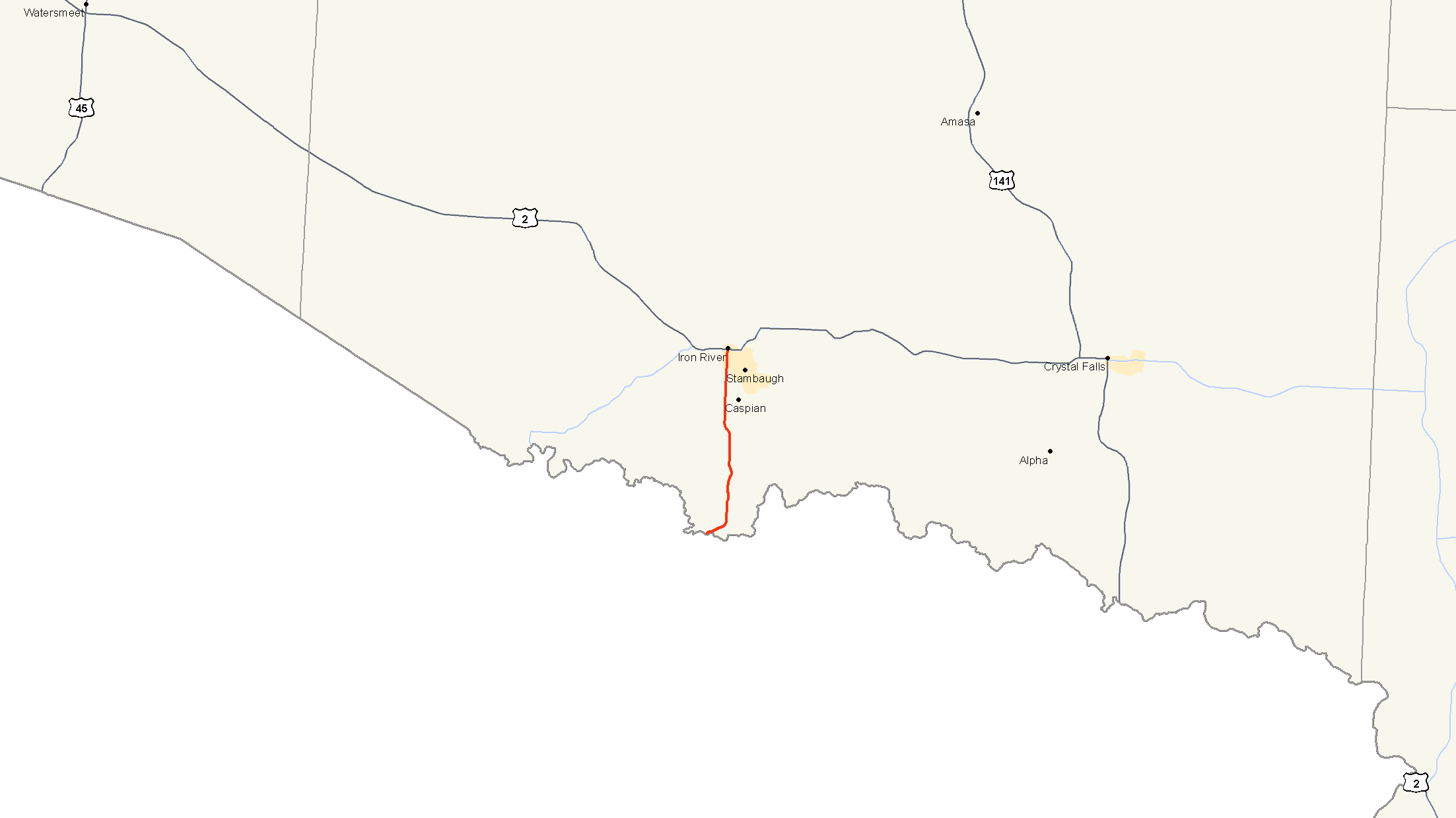
M-189
M-189 highlighted in redRoute information Maintained by MDOT Length: 7.786 mi[3] (12.530 km) Existed: c. 1932[1][2] – present Major junctions South end:  WIS 139 near Iron River
North end:  US 2 in Iron River
Location Counties: Iron Highway system Michigan State Trunkline Highway System
Interstate • US • State←  M-188
M-188M-191  →
→M-189 is a north–south state trunkline highway in the Upper Peninsula of the US state of Michigan. It serves as the continuation of Highway 139 (WIS 139) from Wisconsin into Michigan, connecting to US Highway 2 (US 2) in Iron River. M-189 has been largely unchanged since being designated in the 1930s, although a new bridge over the Brule River at the state line was built in 1988.
Contents
Route description
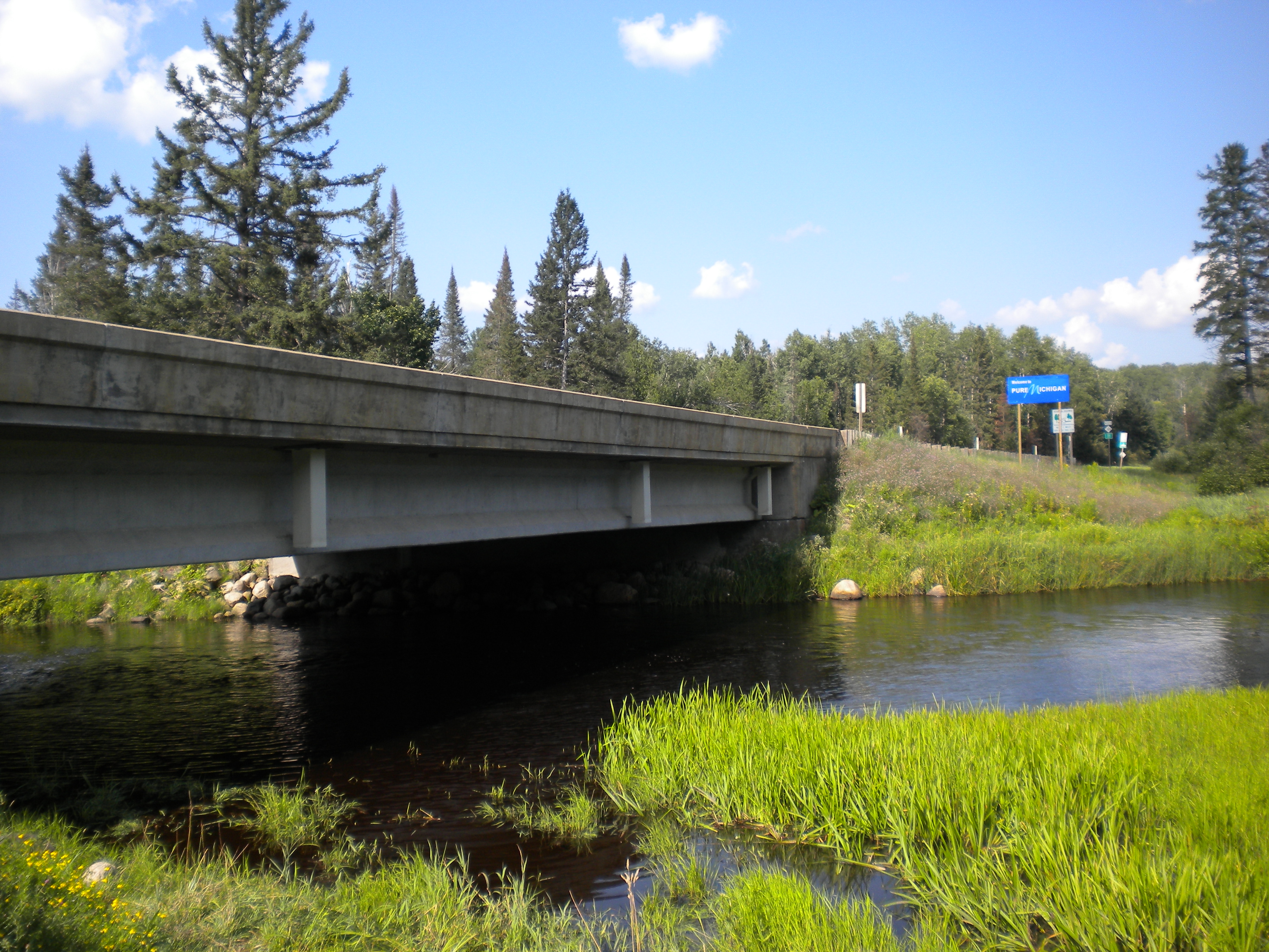
 Brule River crossing as WIS 139 transitions to M-189
M-189 starts at the Wisconsin state line in the middle of a bridge crossing the Brule River that connects to WIS 139. The highway runs to the northeast away from the river through forests. The trunkline turns north and curving to the east to run past Laurel Lake. The highway forks at the junction with Caspian Cutoff Road (County Road 651); M-189 takes the northwesterly fork and runs around the west side of Caspian. The roadway passes the Iron River County Club as the highway begins to parallel the Iron River. M-189 follows Selden Road north through the southside of the city of Iron River, continuing as 4th Street into downtown. The trunkline ends at a junction with US 2 (Adams Street) in the middle of town.[4][5]
No part of M-189 is listed on the National Highway System.[6] In 2009, the Michigan Department of Transportation conducted a survey to determine the traffic volume along the highway, reported using a metric called average annual daily traffic (AADT). The department determined that 892 vehicles a day used the highway near the state line while 5,308 vehicles used the central section through Caspian. The northernmost segment near US 2 had an AADT of 4,079 vehicles.[7]
History
The Michigan State Highway Department designated M-189 as a state trunkline highway in late 1932 or early 1933.[1][2] During the latter half of 1936, the department paved the highway in its entirety.[8][9] The route has remained the same since.[4] The current bridge across the Brule River was built in 1988.[10]
Major intersections
The entire highway is in Iron County.
Location Mile[3] Destinations Notes Stambaugh Township 0.000 WIS 139 south – Long LakeWisconsin state line Iron River 7.786 US 2 – Ironwood, Crystal Falls1.000 mi = 1.609 km; 1.000 km = 0.621 mi References
- ^ a b Michigan State Highway Department (October 1, 1932). Official Michigan Highway Map (Map). Cartography by Rand McNally.
- ^ a b Michigan State Highway Department (May 1, 1933). Official Michigan Highway Map (Map). Cartography by Rand McNally.
- ^ a b Michigan Department of Transportation (2009). MDOT Physical Reference Finder Application (Map). Cartography by Michigan Center for Geographic Information. http://www.mcgi.state.mi.us/prfinder/. Retrieved May 8, 2011.
- ^ a b Michigan Department of Transportation (2010). Official Department of Transportation Map (Map). 1 in:15 mi/1 cm:9 km. Section D3.
- ^ Google, Inc. Google Maps – Overview Map of M-189 (Map). Cartography by Google, Inc. http://maps.google.com/maps?f=d&source=s_d&saddr=M-189+N&daddr=N+4th+Ave&hl=en&geocode=Faa3vQId0EW3-g%3BFWZQvwIdFGy3-g&mra=ls&sll=46.087996,-88.63997&sspn=0.027919,0.029097&ie=UTF8&t=h&z=13. Retrieved May 8, 2011.
- ^ Michigan Department of Transportation (April 23, 2006) (PDF). National Highway System, Michigan (Map). http://www.michigan.gov/documents/MDOT_NHS_Statewide_150626_7.pdf. Retrieved October 7, 2008.
- ^ Bureau of Transportation Planning (2008). "Traffic Monitoring Information System". Michigan Department of Transportation. http://mdotnetpublic.state.mi.us/tmispublic/. Retrieved May 8, 2011.
- ^ Michigan State Highway Department (June 1, 1936). 1936 Official Michigan Highway Map (Map). Cartography by Rand McNally. Section D3.
- ^ Michigan State Highway Department (December 15, 1936). 1936/7 Official Michigan Highway Map (Map). Cartography by Rand McNally (Winter ed.). Section D3.
- ^ Staff (2010). "36136031000B010". National Bridge Inventory. Federal Highway Administration. http://nationalbridges.com/index.php?option=com_lqm&55d3fa51664ffe46d6c29891daa1c8f2=1&task=showResults&query=8&lqm_id=283540&&format=raw&&Itemid=2. Retrieved May 8, 2011.
External links
 Media related to M-189 at Wikimedia CommonsCategories:
- State highways in Michigan
- Iron County, Michigan

Wikimedia Foundation. 2010.