- Niederweningen
-
Niederweningen 
Country Switzerland 
Canton Zurich District Dielsdorf 47°30′N 8°23′E / 47.5°N 8.383°ECoordinates: 47°30′N 8°23′E / 47.5°N 8.383°E Population 2,729 (Dec 2010)[1] - Density 397 /km2 (1,027 /sq mi) Area 6.88 km2 (2.66 sq mi) Elevation 505 m (1,657 ft) Postal code 8166 SFOS number 0091 Surrounded by Otelfingen, Schleinikon, Schneisingen (AG), Siglistorf (AG), Unterehrendingen (AG), Wettingen (AG) Website www.niederweningen.ch
SFSO statistics
 Niederweningen
View map of Niederweningen Niederweningen is a municipality in the district of Dielsdorf in the canton of Zürich in Switzerland.
Contents
History
Niederweningen is first mentioned between 1096 and 1111 as Waningen. In 1269 it was mentioned as Nidirunweningin.[2]
Geography
 Churcg of Niederweningen
Niederweningen has an area of 6.9 km2 (2.7 sq mi). Of this area, 48.2% is used for agricultural purposes, while 38.3% is forested. Of the rest of the land, 13.1% is settled (buildings or roads) and the remainder (0.4%) is non-productive (rivers, glaciers or mountains).[3]
The municipality stretches along the Surb river through the Wehntal from the northern edge of the Lägern ridge to the new housing developments on the southern face of the Egg.
Demographics
Niederweningen has a population (as of 31 December 2010) of 2,729.[1] As of 2007[update], 11.1% of the population was made up of foreign nationals. Over the last 10 years the population has grown at a rate of 37.8%. Most of the population (as of 2000[update]) speaks German (90.8%), with Italian being second most common ( 1.7%) and Serbo-Croatian being third ( 1.4%).
In the 2007 election the most popular party was the SVP which received 39.1% of the vote. The next three most popular parties were the SPS (13.8%), the Green Party (13.7%) and the FDP (10.2%).
The age distribution of the population (as of 2000[update]) is children and teenagers (0–19 years old) make up 27% of the population, while adults (20–64 years old) make up 64.9% and seniors (over 64 years old) make up 8.1%. In Niederweningen about 83.3% of the population (between age 25-64) have completed either non-mandatory upper secondary education or additional higher education (either university or a Fachhochschule).
Niederweningen has an unemployment rate of 2.01%. As of 2005[update], there were 54 people employed in the primary economic sector and about 22 businesses involved in this sector. 453 people are employed in the secondary sector and there are 13 businesses in this sector. 233 people are employed in the tertiary sector, with 66 businesses in this sector.[3] The historical population is given in the following table:[2]
year population 1634 309 1850 806 1900 551 1950 841 2000 2,220 Sights
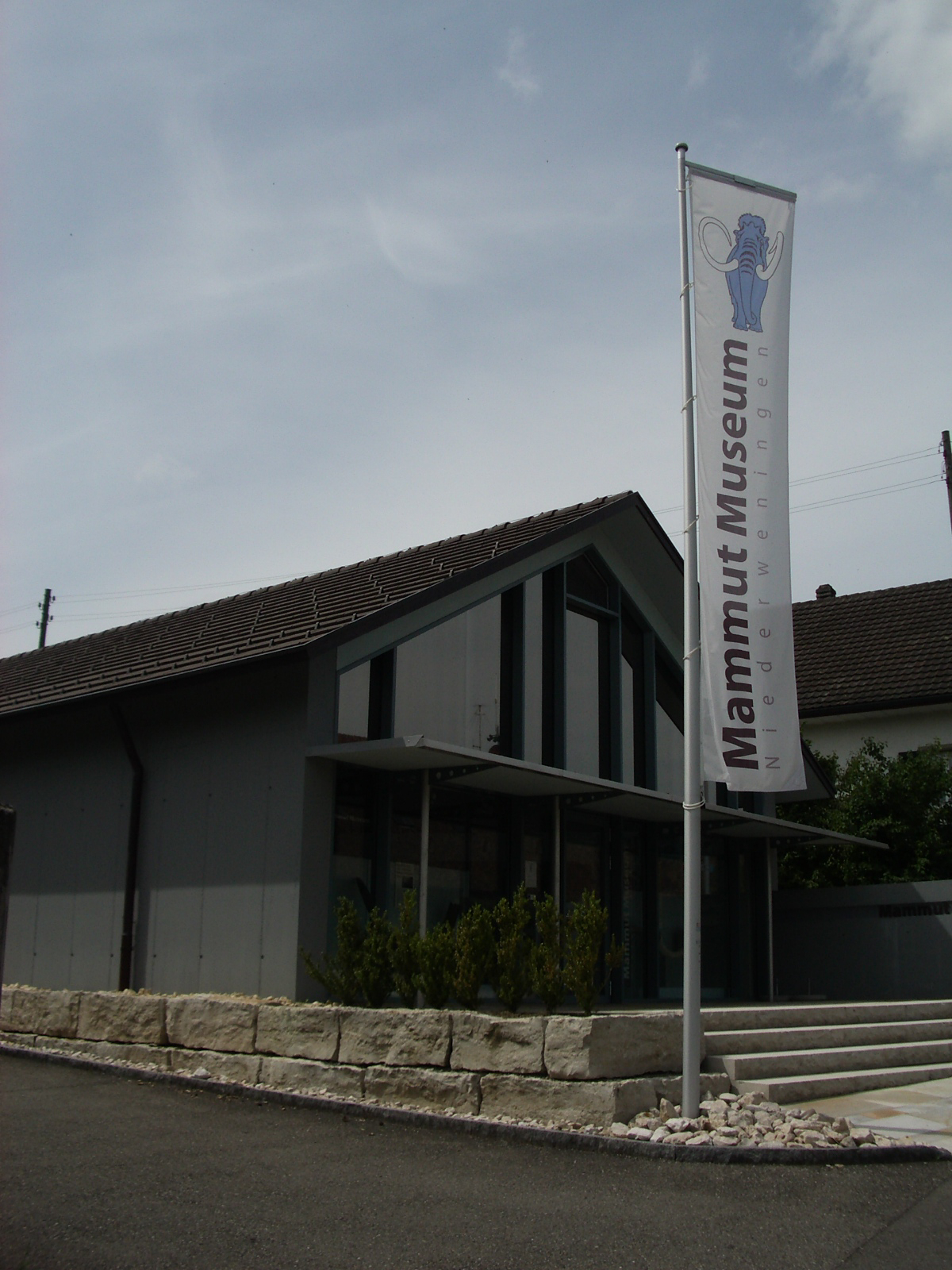
 Mammoth Museum in Niederweningen
Niederweningen is home the Mammoth Museum (Mammut Museum). In 1890, workers building the railroad through the valley discovered mammoth bones, which were housed in the Zoological Museum in Zurich.[2] In 2003 a 34,000 year old complete mammoth skeleton was discovered not far from the 1890 site. In 2005 a museum was established in Niederweningen to house the skeletons. While parts of at least 9 skeletons were discovered, the museum houses only one complete skeleton. The museum also includes displays of other ice age animals and artifacts from more recent human settlements.[4]
Transport
Niederweningen is a terminal station of the Zürich S-Bahn on the lines S5 and S55. Its train station is a 35 minute ride from Zürich Hauptbahnhof.
References
- ^ a b Canton of Zurich Statistical Office (German) accessed 29 March 2011
- ^ a b c Niederweningen in German, French and Italian in the online Historical Dictionary of Switzerland.
- ^ a b Swiss Federal Statistical Office accessed 03-Aug-2009
- ^ Brief Description of the museum accessed 3 August 2009
External links
- Mammoth Museum (German)
Bachs | Boppelsen | Buchs | Dällikon | Dänikon | Dielsdorf | Hüttikon | Neerach | Niederglatt | Niederhasli | Niederweningen | Oberglatt | Oberweningen | Otelfingen | Regensberg | Regensdorf | Rümlang | Schleinikon | Schöfflisdorf | Stadel bei Niederglatt | Steinmaur | Weiach
Canton of Zürich | Districts of Canton Zürich | Municipalities of the canton of Zurich


Wikimedia Foundation. 2010.