- Mataura River
-
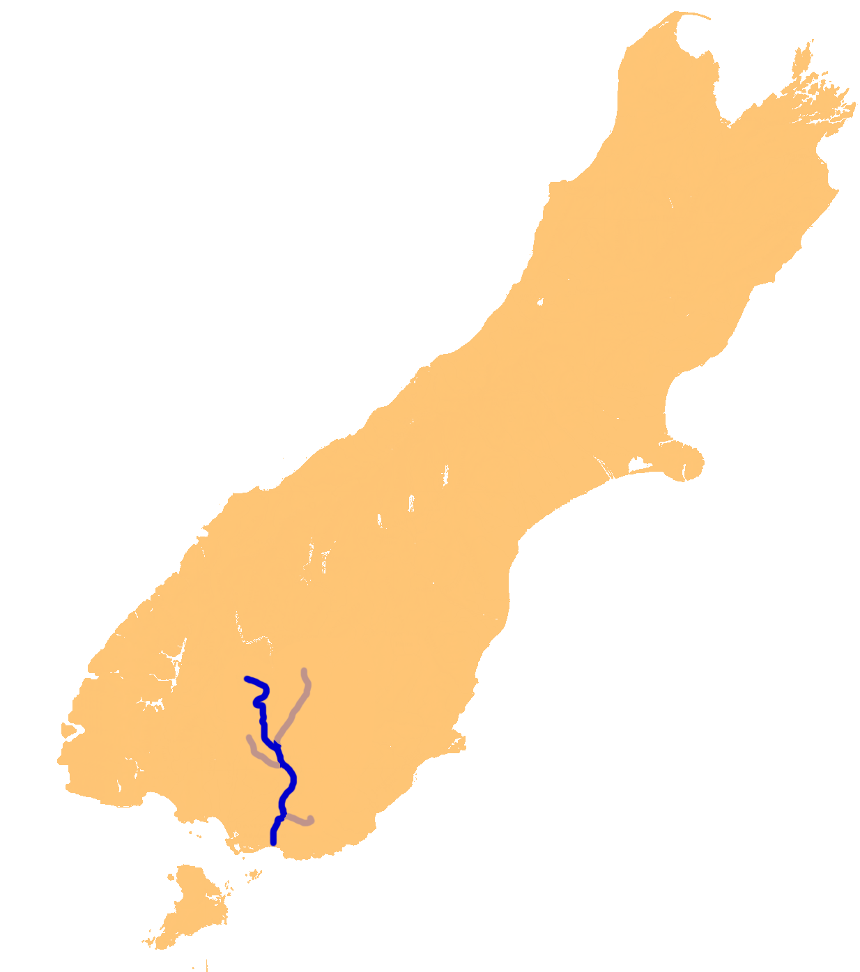
Mataura River Origin Mountains to the south of Lake Wakatipu Mouth Toetoes Bay Basin countries New Zealand Length 190 kilometres (120 mi) Mouth elevation 0.0 metres (0 ft)  The Mataura River system
The Mataura River is in the Southland Region of the South Island of New Zealand. It is 190 kilometres in length.
The river's headwaters are located in mountains to the south of Lake Wakatipu. From there it flows southeast towards Gore, where it turns southward. It then passes through the town of Mataura, and enters the Pacific Ocean at Toetoes Bay on the southern coast of the South Island.
The name comes from the Māori words mata ('red') and ura ('eddying'). The red colouring of the water is caused by iron oxides in the local swamps.[1]
The Mataura is renowned as a source of brown trout, and is a popular fishing venue.
The Mataura, along with the three other main Southland rivers, the Waiau, Oreti and Aparima, breached during the Southland floods of January, 1984. Commercial and residential areas of the town of Mataura were particularly affected, including the pulp and paper plant.
References
Administrative areas Towns and settlements (upstream to downstream) Major tributaries (upstream to downstream by confluence) Other features (upstream to downstream) Longest New Zealand rivers Categories:- Rivers of the Southland Region
- Gore District, New Zealand
- Southland Region geography stubs
Wikimedia Foundation. 2010.