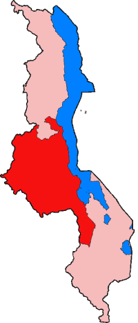
Central Region (Malawi) — Karte der Central Region von Malawi Die Central Region von Malawi ist mit einer Ausdehnung von 35.592 km² und mit knapp 5,5 Mill. Einwohnern[1] flächenmäßig die größte, aber nach Einwohnern die zweitgrößte der drei Verwaltungsgliederungen, die… … Deutsch Wikipedia
Central Region — can mean:*Central Region, Malawi *Central Region, Ghana *Central Region, Singapore *Central region, Eritrea *Central Region, Scotland *Centrale Region, in Togo *Central Region, Venezuela *AAA Central Region, a high school sports region of large… … Wikipedia
Central Region — ist eine im englischsprachigen Raum verbreitete Bezeichnung für ein geographisches Gebiet oder eine Verwaltungseinheit. Sie kann sich beziehen auf die: Central Region (Malawi) Central Region (Ghana) Central Region (Singapur) Central Region… … Deutsch Wikipedia
Central Region Plateau — ▪ plateau, Malaŵi also called Lilongwe Plain, largest continuous tableland in Malaŵi. Its area of 9,000 square miles (23,310 square km) is bordered by the Chimaliro Hills and Viphya Mountains on the north, the Great Rift Valley on the… … Universalium
Southern Region (Malawi) — Karte der Southern Region von Malawi Die Southern Region von Malawi ist mit einer Ausdehnung von 31.753 km² und mit knapp 5,9 Mill. Einwohnern[1] flächenmäßig die zweitgrößte, aber an Einwohnern gemessen die größte der drei… … Deutsch Wikipedia
Northern Region (Malawi) — Karte der Northern Region von Malawi Die Northern Region von Malawi ist mit einer Ausdehnung von 26.931 km² und mit knapp 1,7 Mill. Einwohnern[1] die kleinste von den drei Verwaltungsgliederungen, die zwischen dem Staat auf der obersten… … Deutsch Wikipedia
Northern Region, Malawi — The Northern Region of Malawi, population 1,698,502(2008), covers an area of 26,931 km². Its capital city is Mzuzu. The Northern Region borders Zambia to the west, Tanzania to the north, Lake Malawi to the east, and Malawi s Central Region… … Wikipedia
Southern Region, Malawi — The Southern Region of Malawi, population 5,876,784(2008), covers an area of 31,753 km². Its capital city is Blantyre. Of the 28 districts in Malawi, 12 are located within the Southern Region They are: Balaka, Blantyre, Chikwawa, Chiradzulu … Wikipedia
Malawi — Dziko la Malaŵi (Chichewa) Republic of Malawi (englisch) Republik Malawi … Deutsch Wikipedia
Región Central — Saltar a navegación, búsqueda Región Central puede referirse a: Contenido 1 en América 2 en África 3 en Asia 4 en Europa … Wikipedia Español

 Regions and districts of MalawiCentral RegionCategories: