- Col du Lautaret
-
Col du Lautaret 
Route Nationale 91 at Col du LautaretElevation 2,058 m (6,752 ft) Traversed by Route nationale 91 Location Location of Col du Lautaret

Location Hautes-Alpes,  France
Range French Alps Coordinates 45°02′7″N 06°24′20″E / 45.03528°N 6.40556°ECoordinates: 45°02′7″N 06°24′20″E / 45.03528°N 6.40556°E 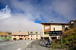 Signpost at the Col du Lautaret
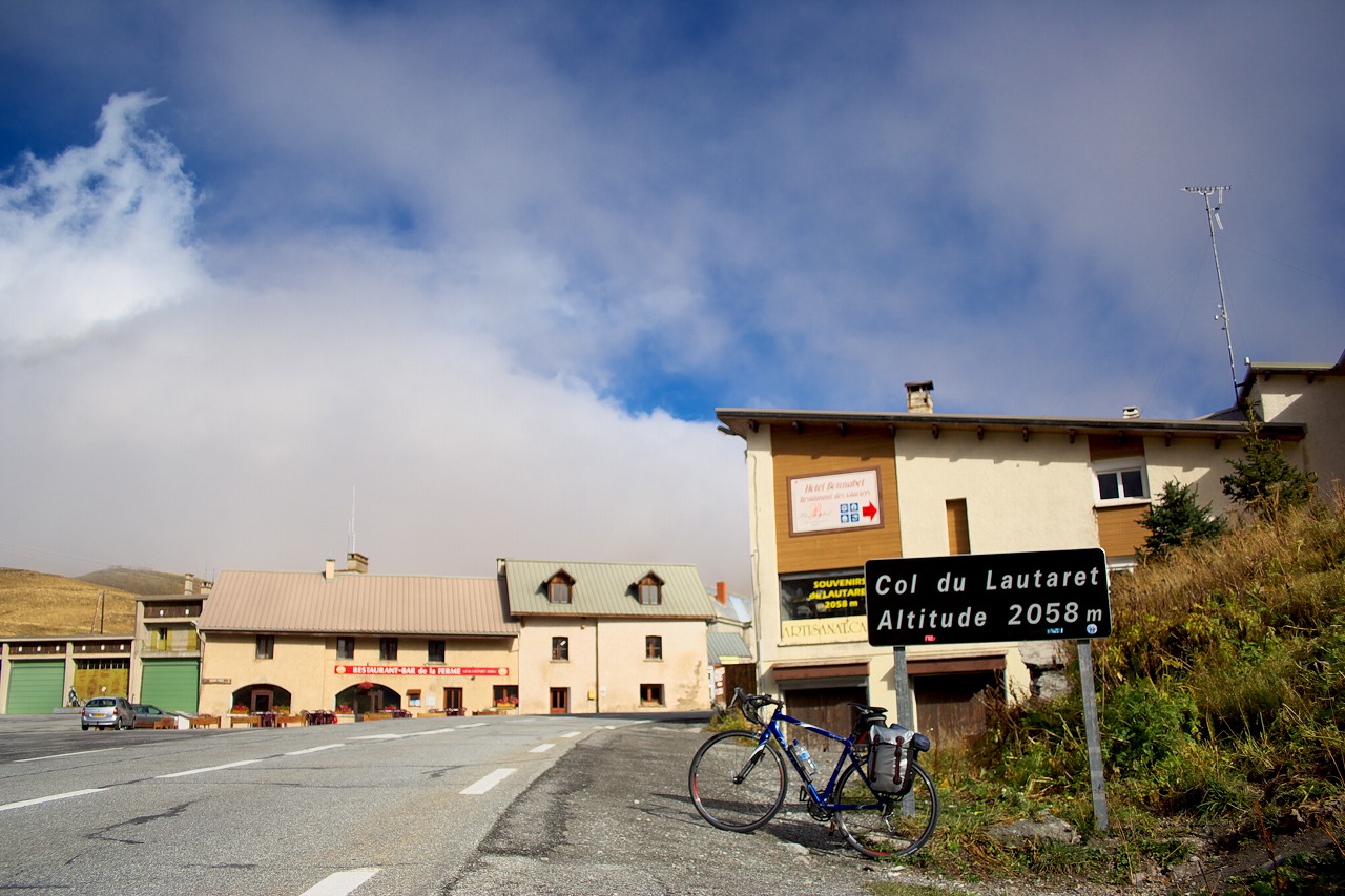
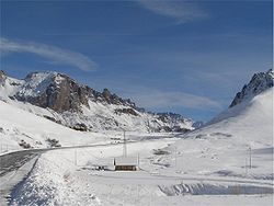 Col du Lautaret in the late Autumn
Col du Lautaret (el. 2058 m.) is a high mountain pass in the department of Hautes-Alpes in France.
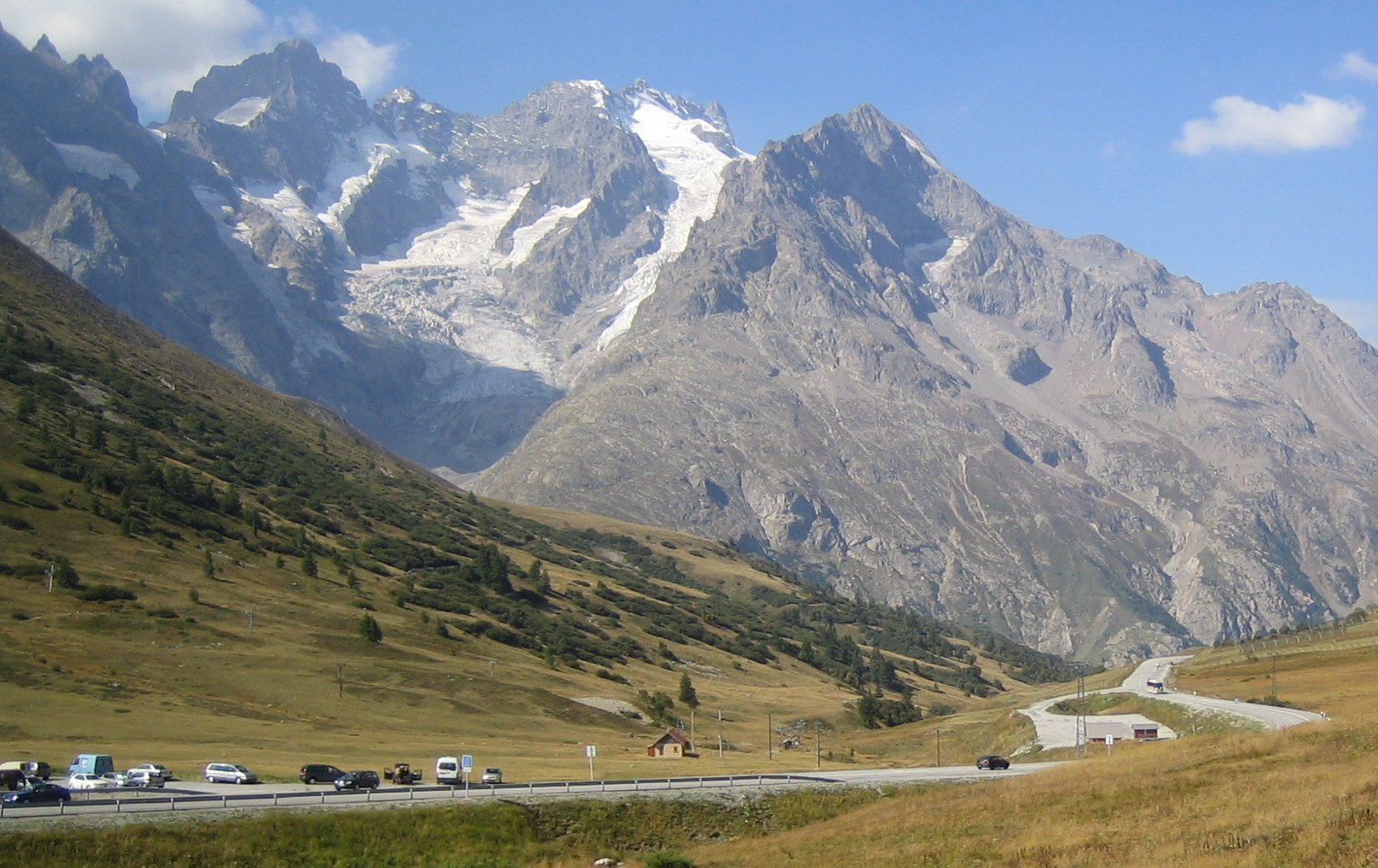
It marks the boundary between the valleys of the Romanche and the Guisane, a tributary of the Durance which has its source at the col. The valleys are linked by national route 91 (Grenoble – Le Bourg-d'Oisans – Briançon). The Lautaret is one of the lowest points on the ridge line which separates the "north" (mainly in the Rhône-Alpes région) and "south" (mainly in the Provence-Alpes-Côte d'Azur région) geographic areas of the French Alps.
The col was modeled by a glacier which flowed down either side into the two valleys, and this explains the relatively easy gradient of the slopes by which it is attained. For the latter reason, the Col has long been used as a communication route between Grenoble and Briançon, and indeed for reaching Italy across the Alps.
The Col is open all year round and provides good views of La Meije to the south-west and the Grand Galibier to the north. It is also well-known for its botanical garden, and for its use in the Tour de France. The route to the south side of the Col du Galibier leaves from the Lautaret.
Points of interest
- Jardin botanique alpin du Lautaret, an alpine botanical garden
See also
- List of highest paved roads in Europe
- List of mountain passes
References
- Much of the content of this article comes from the equivalent French-language Wikipedia article.
Categories:- Mountain passes of the Alps
- Mountain passes of France
- Hautes-Alpes
- Provence-Alpes-Côte d'Azur geography stubs


Wikimedia Foundation. 2010.