- Ceresole Alba
-
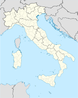
Ceresole Alba — Comune — Comune di Ceresole Alba Location of Ceresole Alba in Italy Coordinates: 44°48′N 7°49′E / 44.8°N 7.817°ECoordinates: 44°48′N 7°49′E / 44.8°N 7.817°E Country Italy Region Piedmont Province Province of Cuneo (CN) Area - Total 37.0 km2 (14.3 sq mi) Population (Dec. 2004) - Total 2,092 - Density 56.5/km2 (146.4/sq mi) Demonym Ceresolesi Time zone CET (UTC+1) - Summer (DST) CEST (UTC+2) Postal code 12040 Dialing code 0172 Ceresole Alba is a comune (municipality) in the Province of Cuneo in the Italian region Piedmont, located about 30 km southeast of Turin and about 50 km northeast of Cuneo. As of 31 December 2004, it had a population of 2,092 and an area of 37.0 km².[1]
Ceresole Alba borders the following municipalities: Baldissero d'Alba, Carmagnola, Montaldo Roero, Monteu Roero, Poirino, Pralormo, and Sommariva del Bosco.
The Battle of Ceresole was an encounter between a French army and the combined forces of Spain and the Holy Roman Empire during the Italian War of 1542–46. The lengthy engagement took place on April 11, 1544, outside the village.
Demographic evolution

References
Categories:- Cities and towns in Piedmont
- Communes of the Province of Cuneo
- Roero
- Province of Cuneo geography stubs
Wikimedia Foundation. 2010.

