- Monforte d'Alba
-
Monforte d'Alba — Comune — Comune di Monforte d'Alba 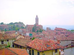 Location of Monforte d'Alba in Italy
 Monforte d'Alba
Coordinates: 44°35′N 7°58′E / 44.583°N 7.967°ECoordinates: 44°35′N 7°58′E / 44.583°N 7.967°E Country Italy Region Piedmont Province Province of Cuneo (CN) Area - Total 25.7 km2 (9.9 sq mi) Population (Dec. 2004) - Total 1,976 - Density 76.9/km2 (199.1/sq mi) Time zone CET (UTC+1) - Summer (DST) CEST (UTC+2) Postal code 12065 Dialing code 0173 Monforte d'Alba is a comune (municipality) in the Province of Cuneo in the Italian region Piedmont, located about 60 km southeast of Turin and about 40 km northeast of Cuneo. As of 31 December 2004, it had a population of 1,976 and an area of 25.7 km².[1]
Monforte d'Alba borders the following municipalities: Barolo, Castiglione Falletto, Dogliani, Monchiero, Novello, Roddino, and Serralunga d'Alba.
Monforte d'Alba is part of the zone of the noble Barolo wine production area.
Demographic evolution

Gallery
-
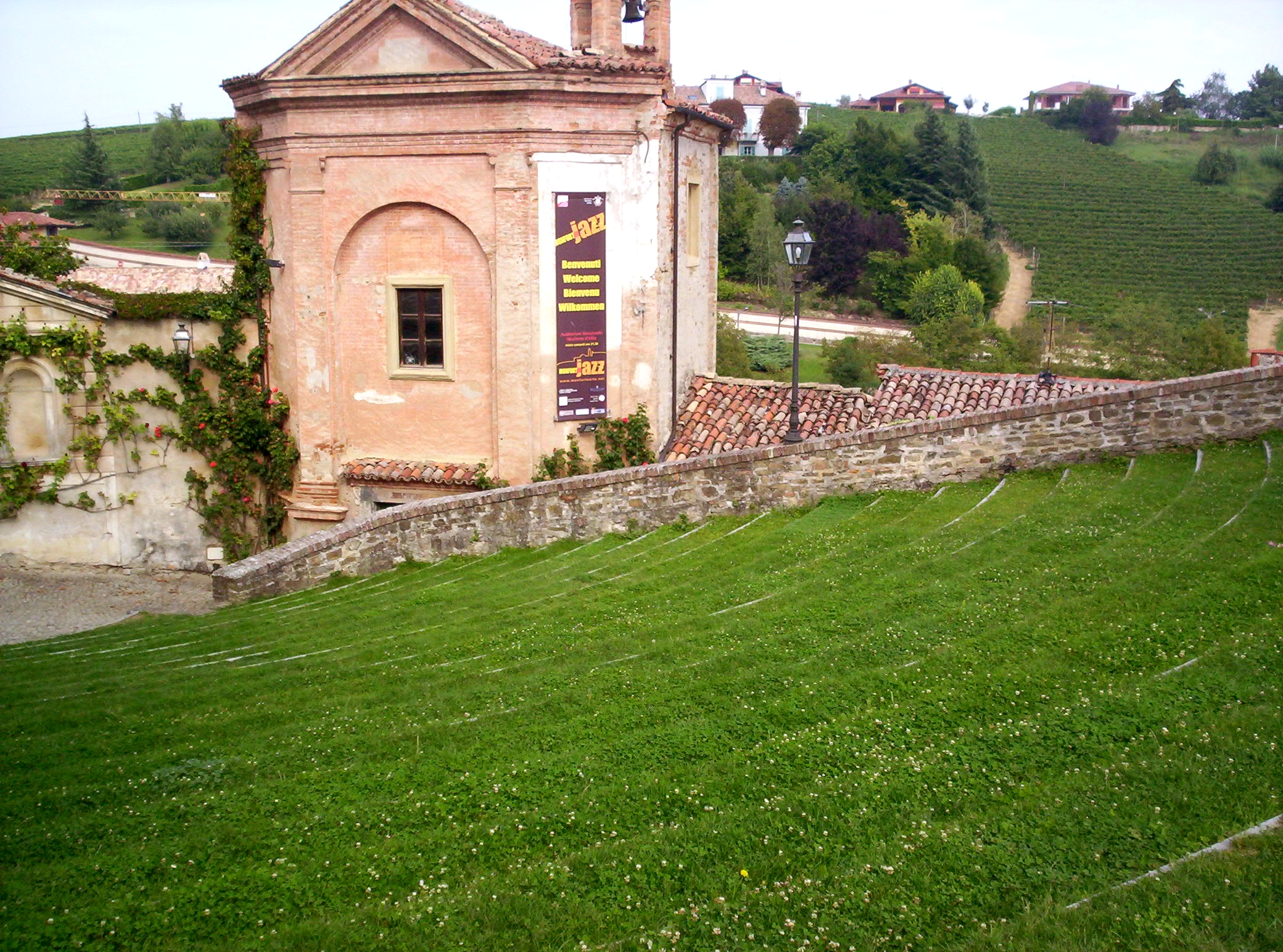
A view of the town
-

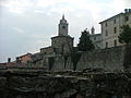
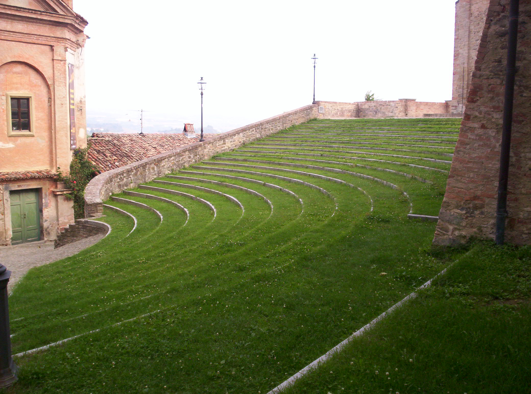
Amphitheater "Mieczyslaw Horszowski"
-

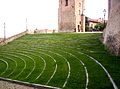
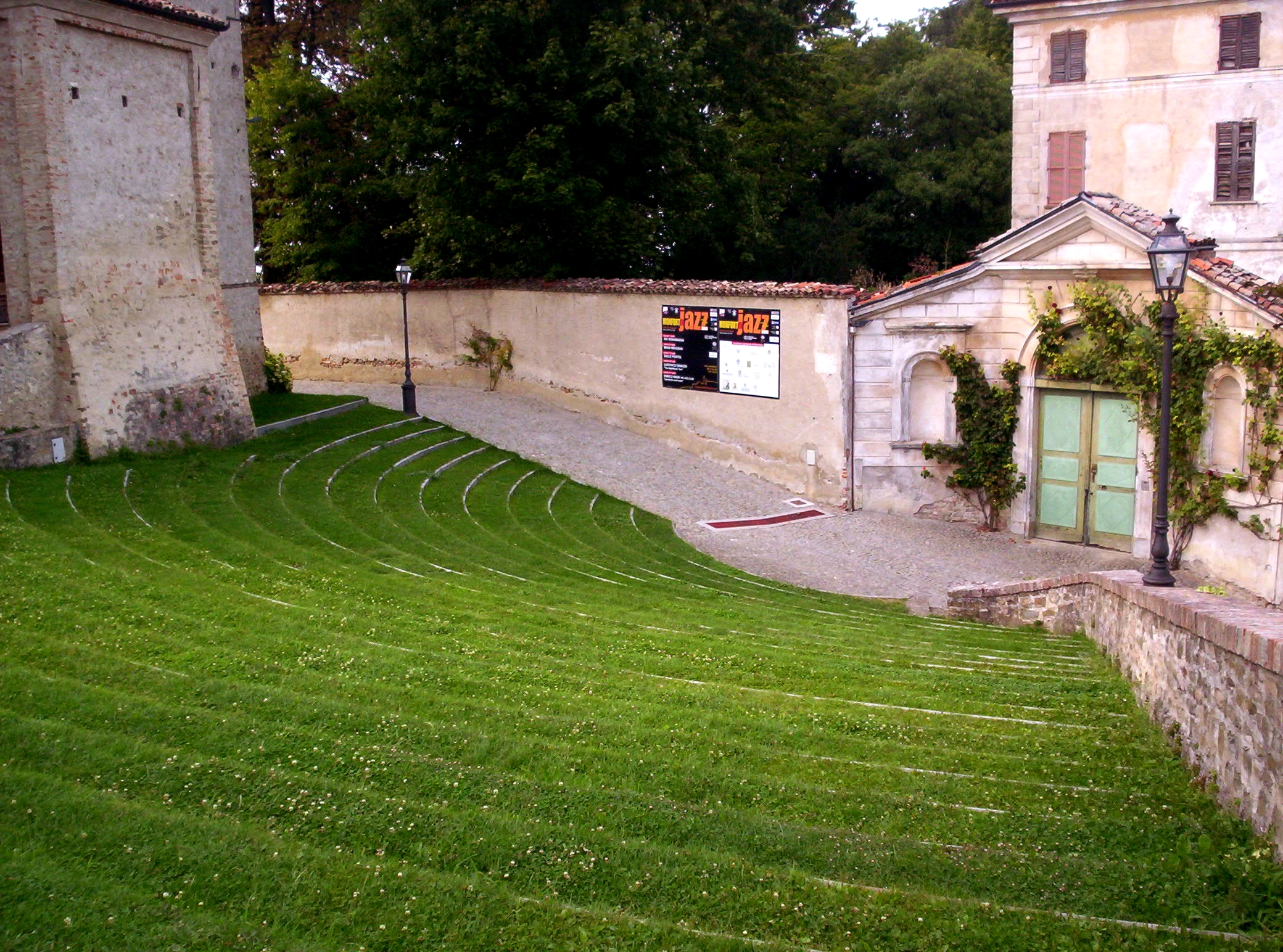
Another perspective of this natural amphitheater
-

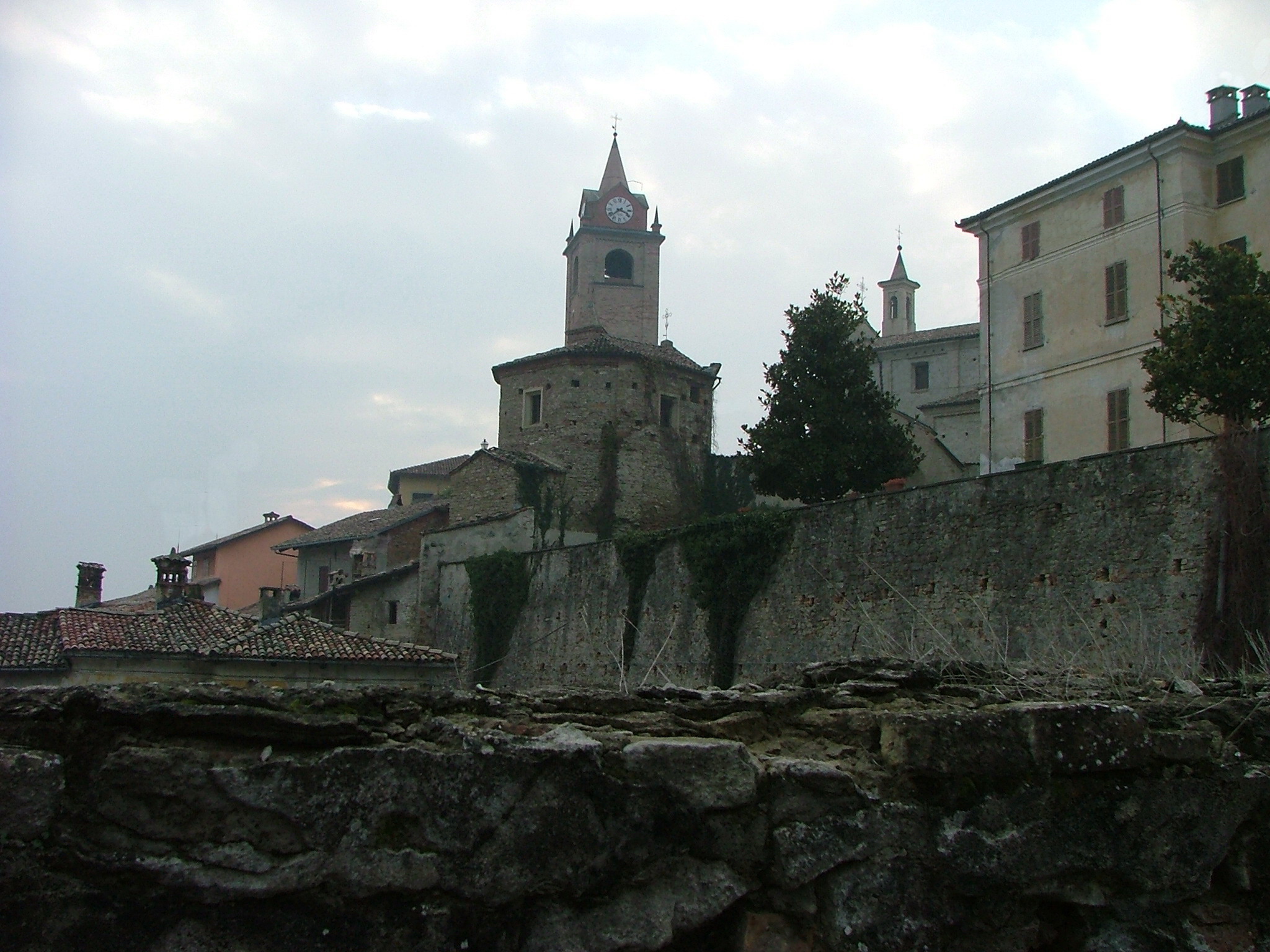
Another view
-
References
Categories:- Cities and towns in Piedmont
- Communes of the Province of Cuneo
- Province of Cuneo geography stubs
-


Wikimedia Foundation. 2010.