- Mugalivakkam
-
Mugalivakkam — suburb — Coordinates 13°01′18″N 80°09′38″E / 13.0215653°N 80.160520°ECoordinates: 13°01′18″N 80°09′38″E / 13.0215653°N 80.160520°E Country India State Tamil Nadu District(s) Kanchipuram District (Chennai from 2012) Subdistrict(s) Sriperumbudur Parliamentary constituency Sriperumbudur Assembly constituency Alandur Planning Agency CMDA Time zone IST (UTC+05:30) Codes-
• Pincode • 600125
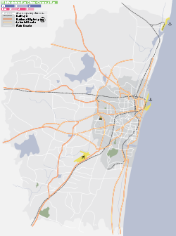
Website Chennai District website Mugalivakkam (Tamil: முகலிவாக்கம்) is a suburb of Chennai. It is situated 16 km south-west of Chennai on the Guindy-Poonamallee road. It is bounded by Porur on the north, Meenambakkam on the south and south east, and Ramapuram on the north east directions. The nearest railway station is at Guindy which is about 6 kilometres away.
The word, Mugalivakkam, might have evolved during the brief Mughal rule of Poonamallee during the later half of the 17th century CE and the 18th century CE.[original research?] Mugalivakkam will be included in chennai city limit from 2012. It has several educational institution like Miot college of nursing, Pon vidyashram, PSBB . It has well-developed health care facilities including Kedar hospital, St Thomas hospital And well-developed government health care centre. It is surrounded by big corporates like IBM, HP, CTS, Sutherland, L&T ECC, L&T infotech, Audco, DLF IT park etc.
Location in Context
Areas of Chennai 
Porur Porur Valasaravakkam 
Moulivakkam 
Manapakkam  Mugalivakkam

Kolappakkam Kolappakkam Manapakkam Categories:- Chennai
- Chennai suburbs
-
Wikimedia Foundation. 2010.


