- Hallasan
-
Hallasan 
View of Hallasan from the south.Elevation 1,950 m (6,398 ft) [1] Prominence 1,950 m (6,398 ft) [1] Listing Country high point
UltraLocation Jeju-do, South Korea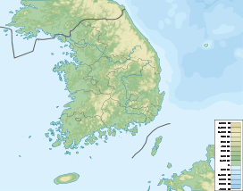
 Hallasan
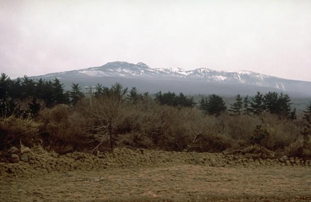
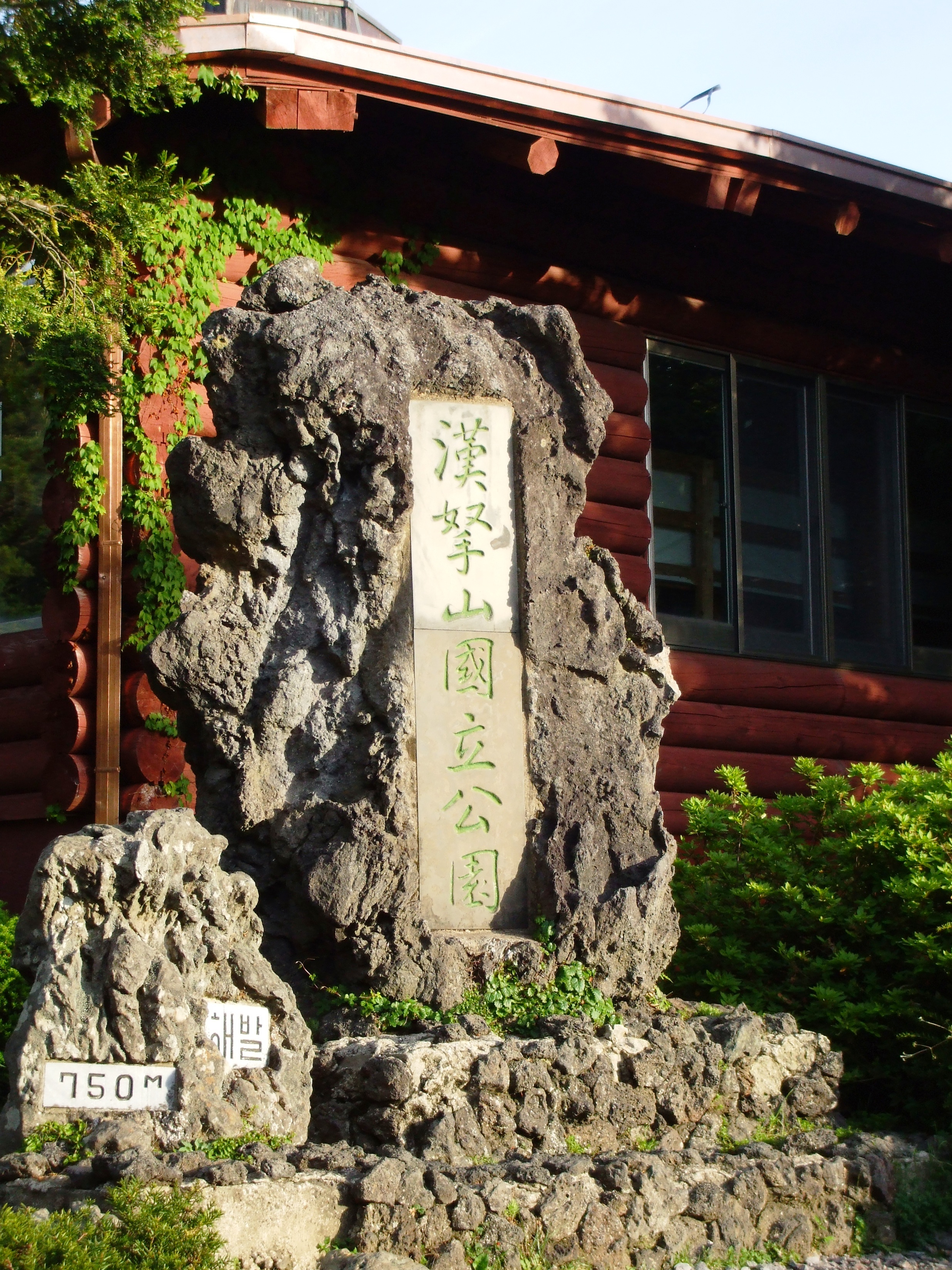
Coordinates 33°21′42″N 126°31′45″E / 33.36167°N 126.52917°ECoordinates: 33°21′42″N 126°31′45″E / 33.36167°N 126.52917°E[2] Geology Type Shield volcano Last eruption 1007 Climbing Easiest route trails, helicopter Korean name Hangul 한라산 (DPRK: 한나산) Hanja 漢拏山 Revised Romanization Hallasan McCune–Reischauer Hallasan Hallasan is a shield volcano on Jeju Island of South Korea. Hallasan is the highest mountain of South Korea. The area around the mountain is a designated national park, the Hallasan National Park (Hallasan Gungnip Gongwon/한라산국립공원/漢拏山國立公園). Hallasan is commonly considered to be one of the three main mountains of South Korea, with Jirisan and Seoraksan being the other two.
Contents
Names
Alternate names for the mountain include Hanla Mountain or Mount Halla and older English sources refer to the peak as Mount Auckland.[3][4] Hallasan is written in North Korea in Chosungul as if it were Hannasan (한나산); however, it is still pronounced as Hallasan. In the past, Hallasan has been known by numerous other names in Korean including Buag (부악/釜岳), Wonsan (원산/圓山), Jinsan (진산/鎭山), Seonsan (선산/仙山), Dumuag (두무악/頭無岳), Burasan (부라산/浮羅山), Yeongjusan 영주산(瀛州山), and Hyeolmangbong (혈망봉/穴望峯).[5]
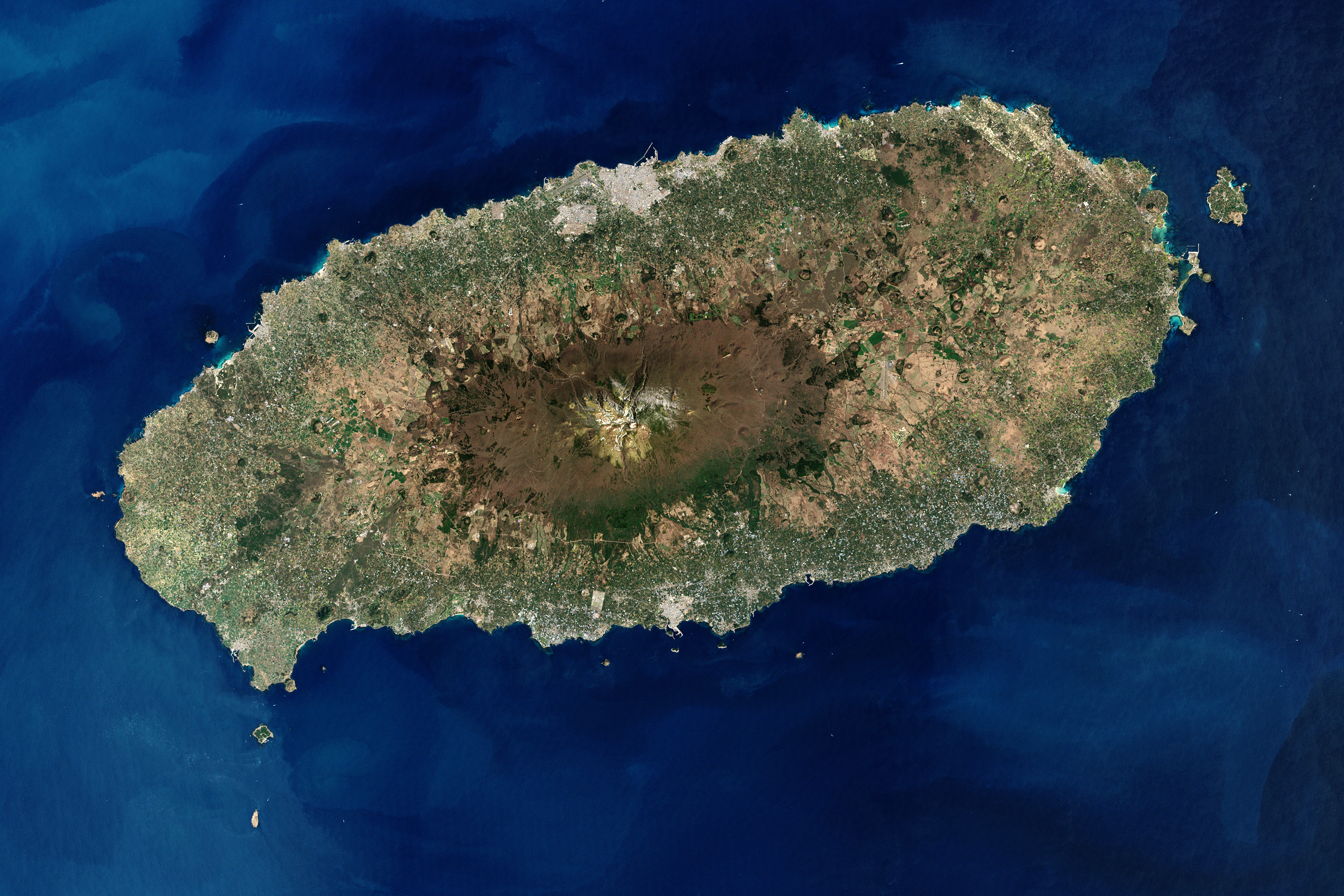
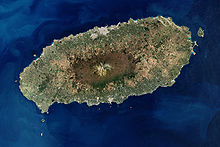 Satellite image showing Hallasan at the center of Jeju Island.
Geology and geography
Hallasan is a massive shield volcano which forms the bulk of Jeju Island and is often taken as representing the island itself. There is a local saying stating that "Jeju Island is Hallasan; and Hallasan is Jeju." The mountain can indeed be seen from all places on the island, but its peak is often covered in clouds. The mountain has been designated Korea's Natural Monument no. 182.
The volcanic island was constructed starting in the Pliocene epoch atop the continental shelf, which is presently about 100 m (300 ft) below sea level in that area. Eruptions of basalt and trachyte lava built the island above sea level, and it now reaches a height of 1,950 metres (6,398 ft). A large volcanic crater over 400 m (1,300 ft) in diameter tops the volcano. About 360 parasitic cones, or oreum (오름) in the Jeju dialect, are found on the volcano's flanks. Most of them are cinder cones and scoria cones, but there are also some lava domes and about 20 tuff rings near the coast and offshore, which were formed by underwater phreatic eruptions. The most recent eruptions occurred on the flanks in 1002 and 1007.
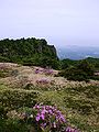
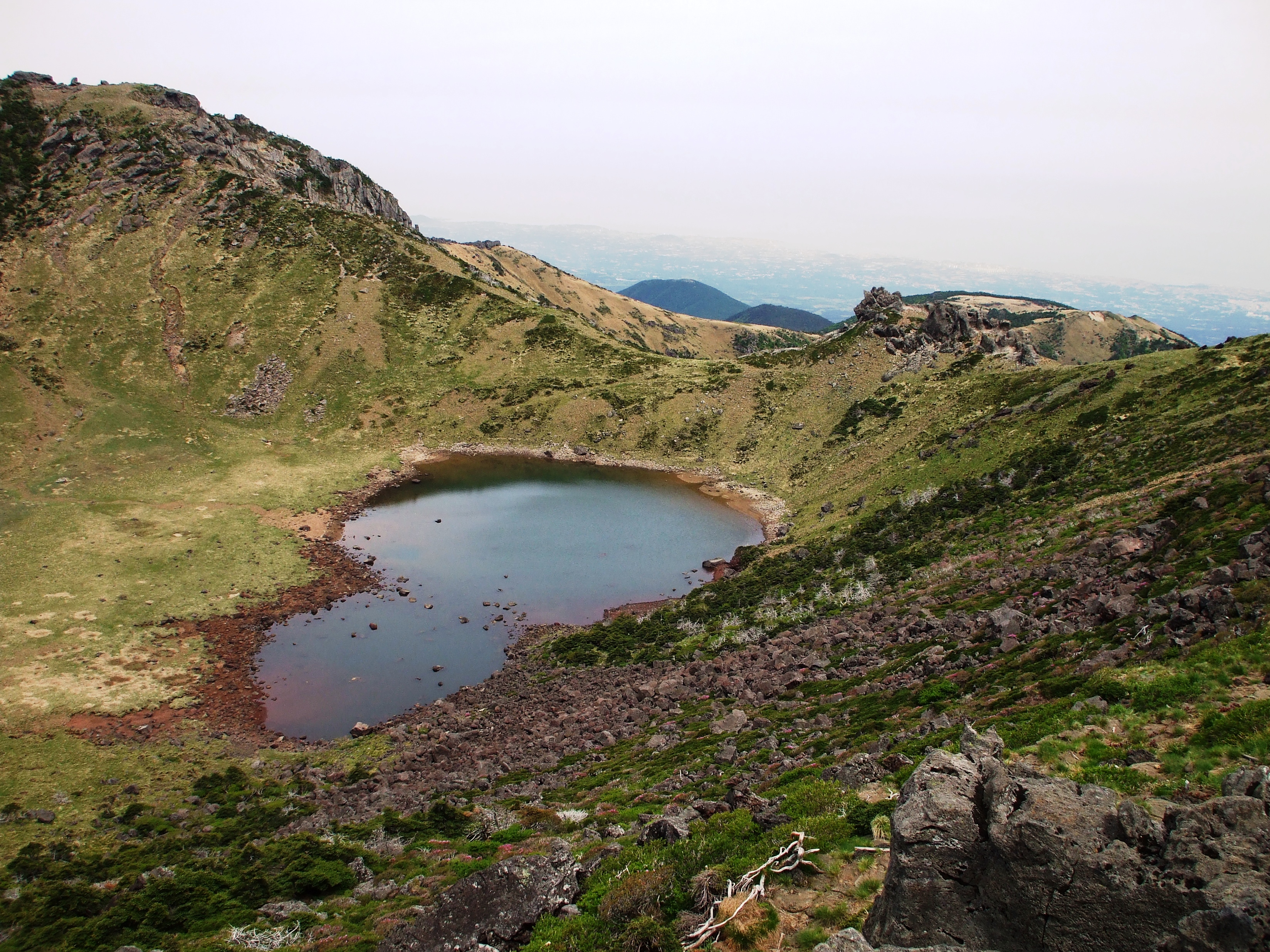
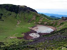 Crater lakes on Hallasan.
There is a crater lake on Hallasan called Baengnokdam (백록담/白鹿潭), literally "white deer lake." There is a legend attributing the name of the lake to otherworldly men who descend from heaven to play with white deer. Depending on the season, the circumference of the lake is up to 2 kilometres with a depth up to about 100 meters.
Sights
The mountain is home to Gwaneumsa, the oldest Buddhist temple on the island. The temple was originally built during the Goryeo Dynasty. Like many other temples in Korea, Gwaneumsa was destroyed and rebuilt in the 20th century. There is a memorial site outside the temple, remembering the victims of the Jeju uprising that took place between 1948 and 1950. It is one of the most visited places of the island.
Trails
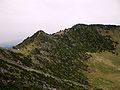
There are five hiking trails on Hallasan. They are:
- Gwaneumsa Trail (관음사) - 8.7 km
- Eorimok Trail (어리목) - 4.7 km
- Seongpanak Trail (성판악) - 9.6 km
- Yeongsil Trail (영실) - 3.7 km
- Donnaeko Trail (돈내코) - 9.1 km
The Donnaeko trail was officially reopened to the public on December 4, 2009, after a fifteen year hiatus. Only the Gwaneumsa and Seongpanak trails lead to the summit. The Donnaeko, Eorimok and Yeongsil courses only go as far as Witse Oreum, as the rest of the trail leading to the peak has been closed off since 1994 in order to restore and protect the vegetation.
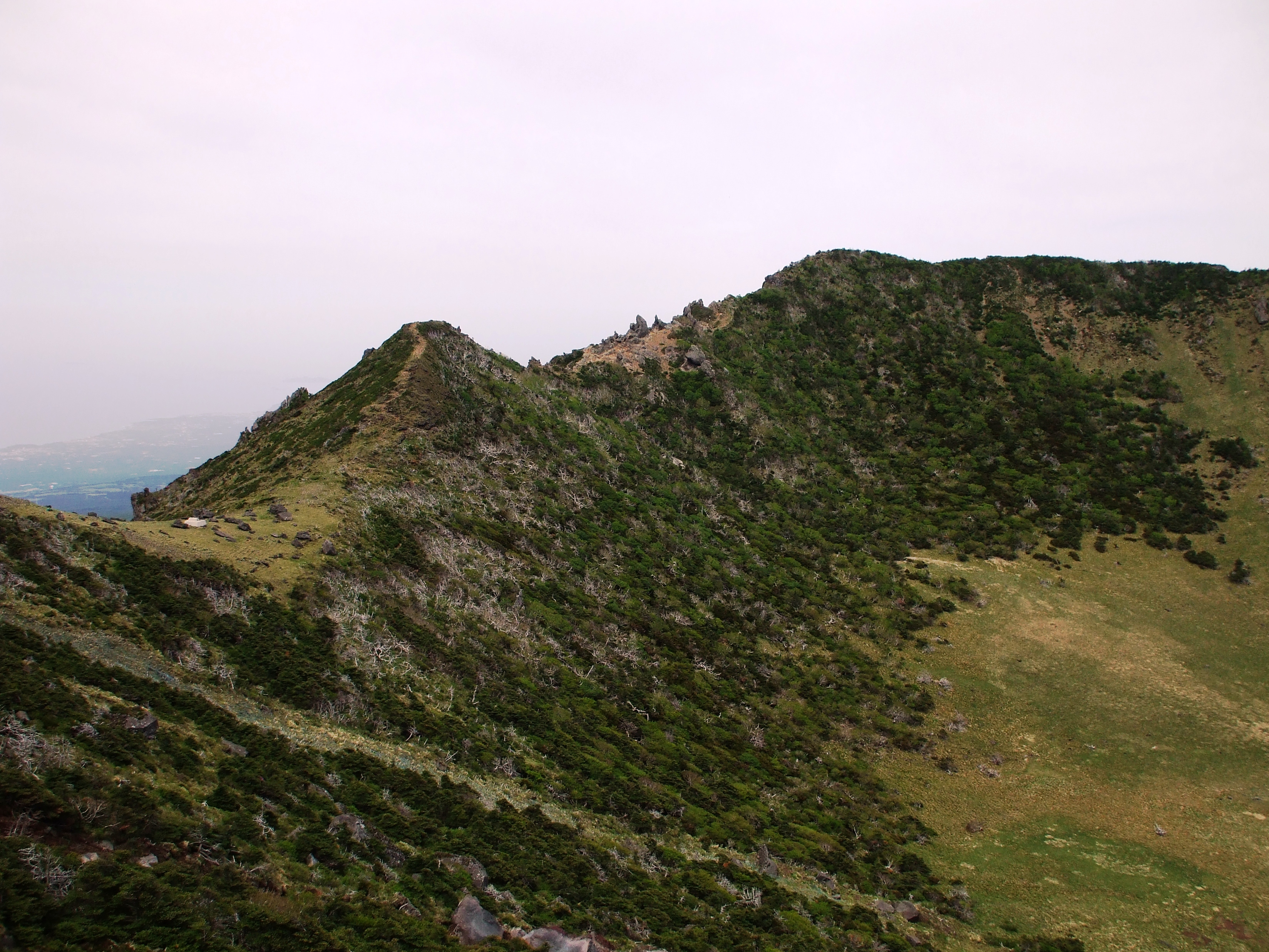
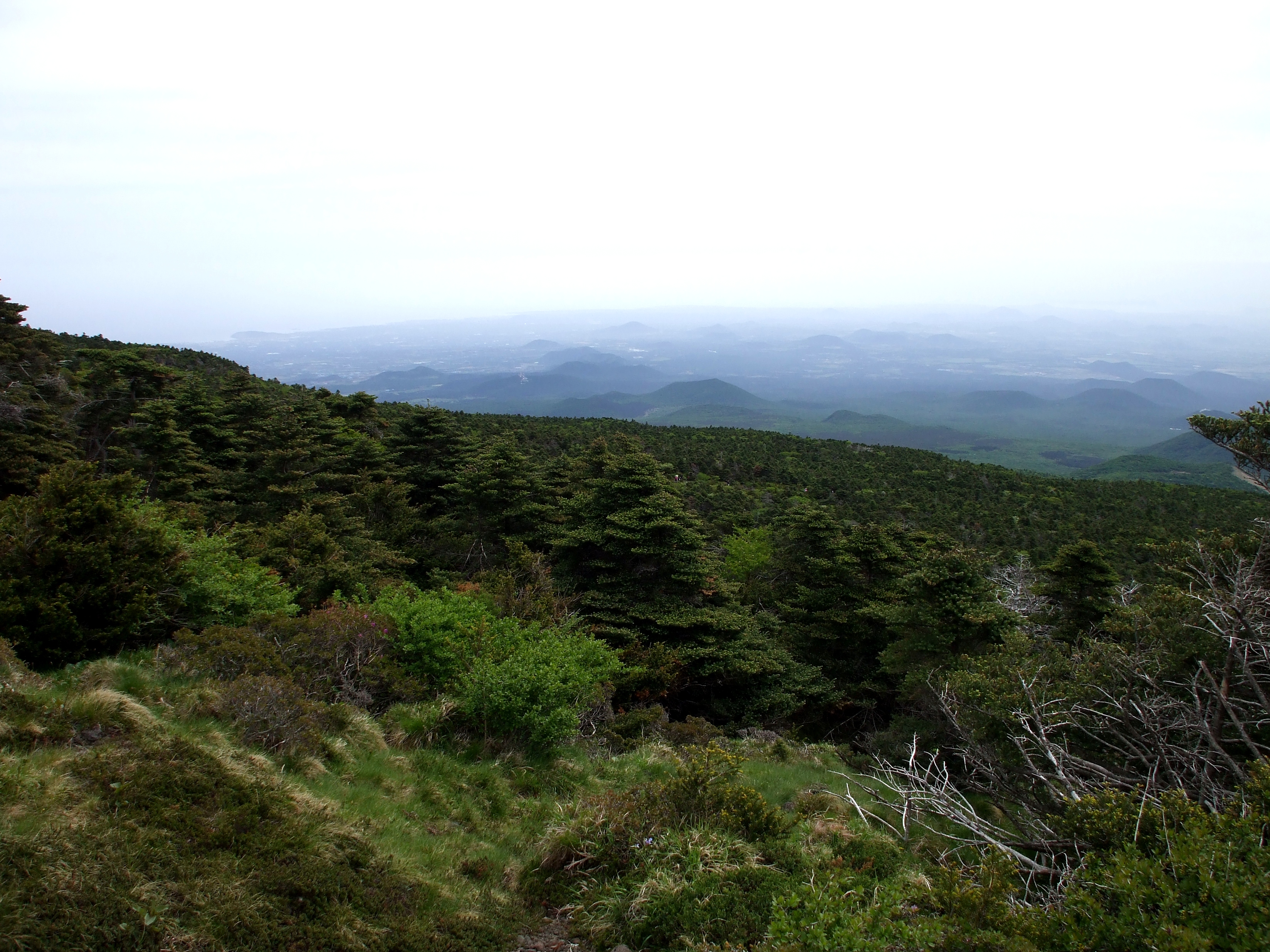
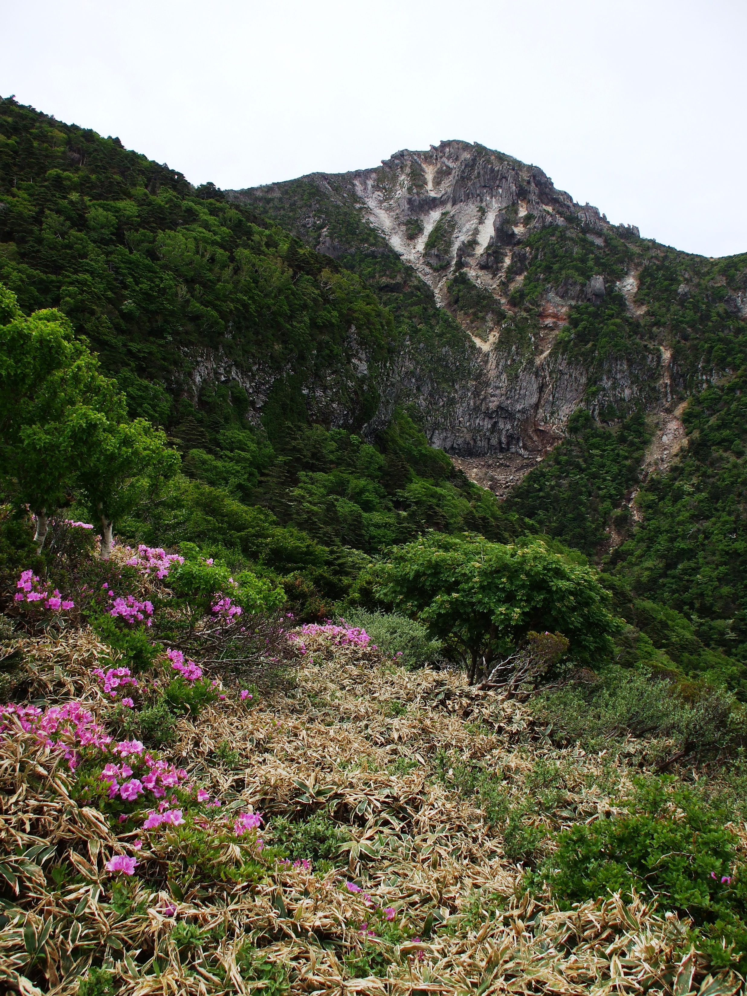
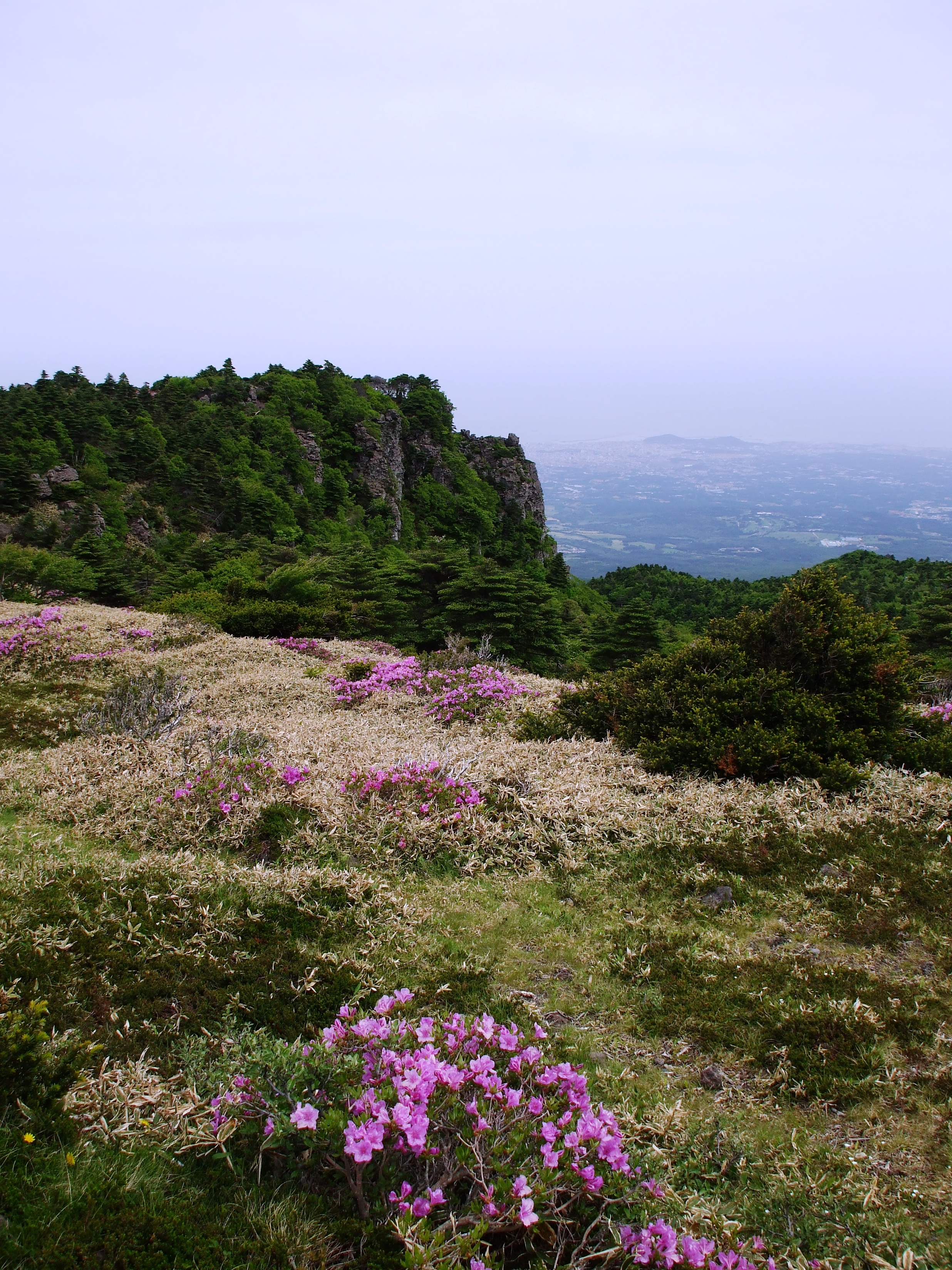
Gallery
-

Crater lake at the top of the mountain(06/2008)
-
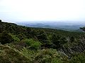
A view at the top(06/2008)
-
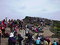
A surging crowd at the top of the mountain (06/2008)
-
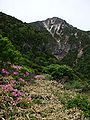
At the middle of the Seongpanak trail(02/2008)
-
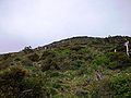
Lteral volcanoes of the mountain (06/2008)
-
A view on the Gwaneumsa trail (1) (06/2008)
-
A view on the Gwaneumsa trail (2) (06/2008)
-

A monument at the gate of Seonphanak trail (06/2008)
See also
Notes
- ^ a b "Halla-san" on Peakbagger.com Retrieved 1 October 2011
- ^ Peaklist.org, Listed as "Halla-san" Central and Eastern China, Taiwan and Korea - South Korea list. Retrieved 1 October 2011
- ^ Simon Winchester. Korea: a walk through the land of miracles (London, Penguin, 2004). Page 39.
- ^ Simon Winchester (21 February 1988). "Social Climbing on Mount Halla". New York Times. http://query.nytimes.com/gst/fullpage.html?sec=travel&res=940DE2DC1639F932A15751C0A96E948260. Retrieved 2007-01-20.
- ^ "Hallasan National Park 한라산국립공원". http://jeju1950.hihome.com/hallasan/hallasan01.htm. Retrieved 2007-01-20.(Korean)
References
- "Halla". Global Volcanism Program, Smithsonian Institution. http://www.volcano.si.edu/world/volcano.cfm?vnum=1006-04-.
- Halla-san Official Website
- Mt. Halla: Jeju's Geopark crown jewel The Jeju Weekly, January 2, 2011
Categories:- Shield volcanoes
- Volcanoes of South Korea
- Volcanoes of the Pacific Ocean
- Crater lakes
- Jeju-do
- Mountains of South Korea
- Pliocene volcanoes
- Pleistocene volcanoes
- Dormant volcanoes


Wikimedia Foundation. 2010.