- Mount Pisgah (Oregon)
-
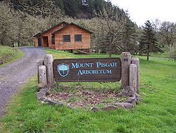 Sign at base of Mount Pisgah
Mount Pisgah is a hill in Lane County, Oregon, United States, rising 1,060 feet (320 m) above the surrounding Willamette Valley to a maximum elevation of 1,531 feet (467 m). It was named after the biblical Mount Pisgah.[1] It is situated between the Coast Fork and Middle Fork of the Willamette River, two miles (3 km) southeast of their confluence. Springfield is immediately north of Mount Pisgah, and the city of Eugene is a few miles west. It hosts the 2363-acre (956 hectare) Howard Buford Recreation Area as well as the non-profit Mount Pisgah Arboretum at its base.
Contents
Recreation
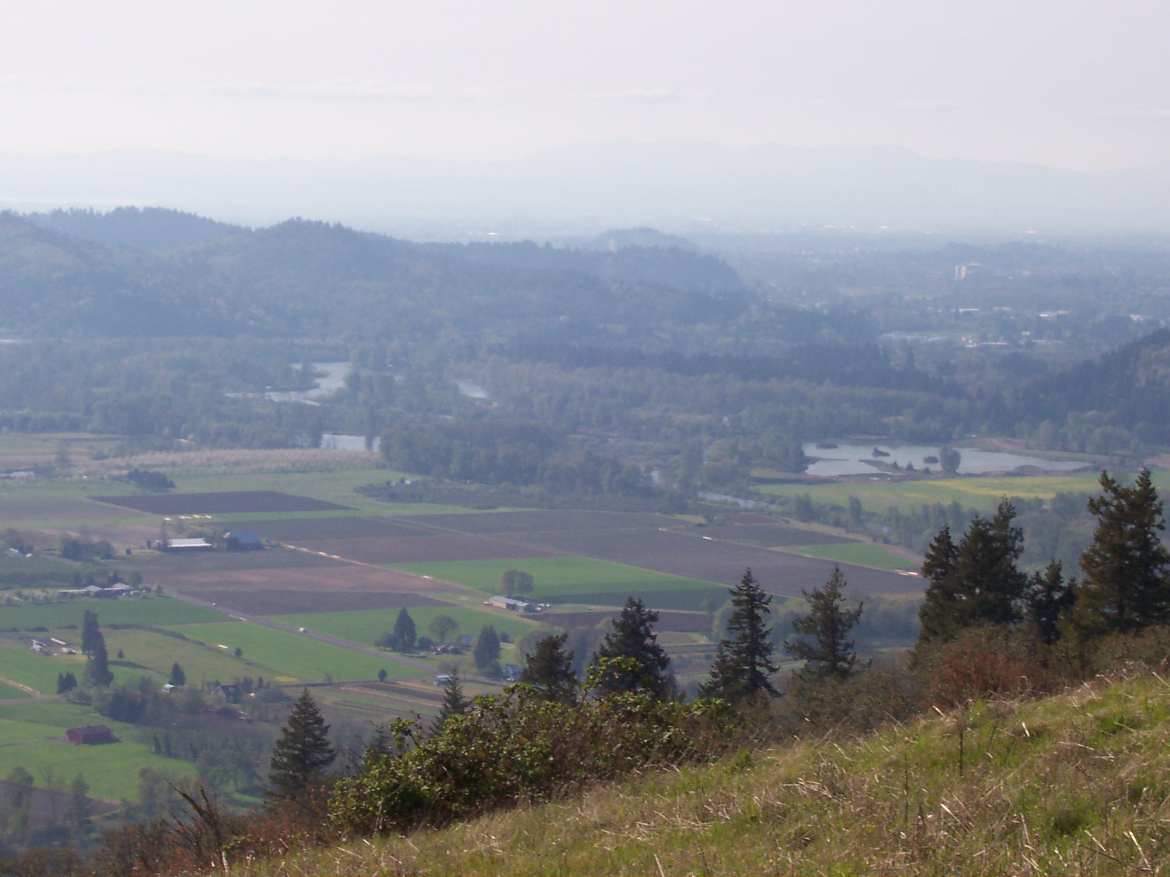
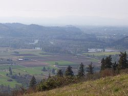 View from Mount Pisgah
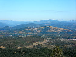
Several hiking trails are maintained by the Lane County Parks Department on Mount Pisgah. The summit is accessible by a steep 1.4-mile (2.3 km) trail from a parking area near the base of the hill. Several other trails make their way through the adjacent arboretum and up the slopes.
The summit offers a panoramic view of the southern Willamette Valley and includes a bronze relief sculpture (a memorial for Ken Kesey's son Jed[citation needed]) illustrating the surrounding topography and identifying many nearby geographic features.
Arboretum
The Mount Pisgah Arboretum covers 209 acres (0.85 km2) at the base of Mount Pisgah and offers visitors 7 miles (11 km) of trails through natural riverside habitat and hundreds of catalogued plant species. Admission is $3 per car and permits can be purchased at a self-service pay station.
Geology
The hill consists of basalt or its intrusive equivalent diabase. Small crystals of calcite and various zeolite minerals are often seen where the rock outcrops, especially near the summit.
Controversy
Wildish Land Company owns 1,400 acres (5.7 km2) of undisturbed land adjacent to the park and has filed an Oregon Measure 37 claim. The claim seeks either compensation of $15 million for diminution in land value caused by state and county land use regulations enacted since Wildish acquired the property, or in the alternative, a waiver of offending land use regulations enacted since its acquisition. The land is zoned for gravel production with an estimated value, under current zoning, at around $5 million. As an alternative to development or compensation, some have suggested the controversy represents a historic opportunity to purchase the land, integrate it with the existing park, and eventually link the expanded Howard Buford Recreation Area with other undeveloped land as part of a greater Eugene greenway.
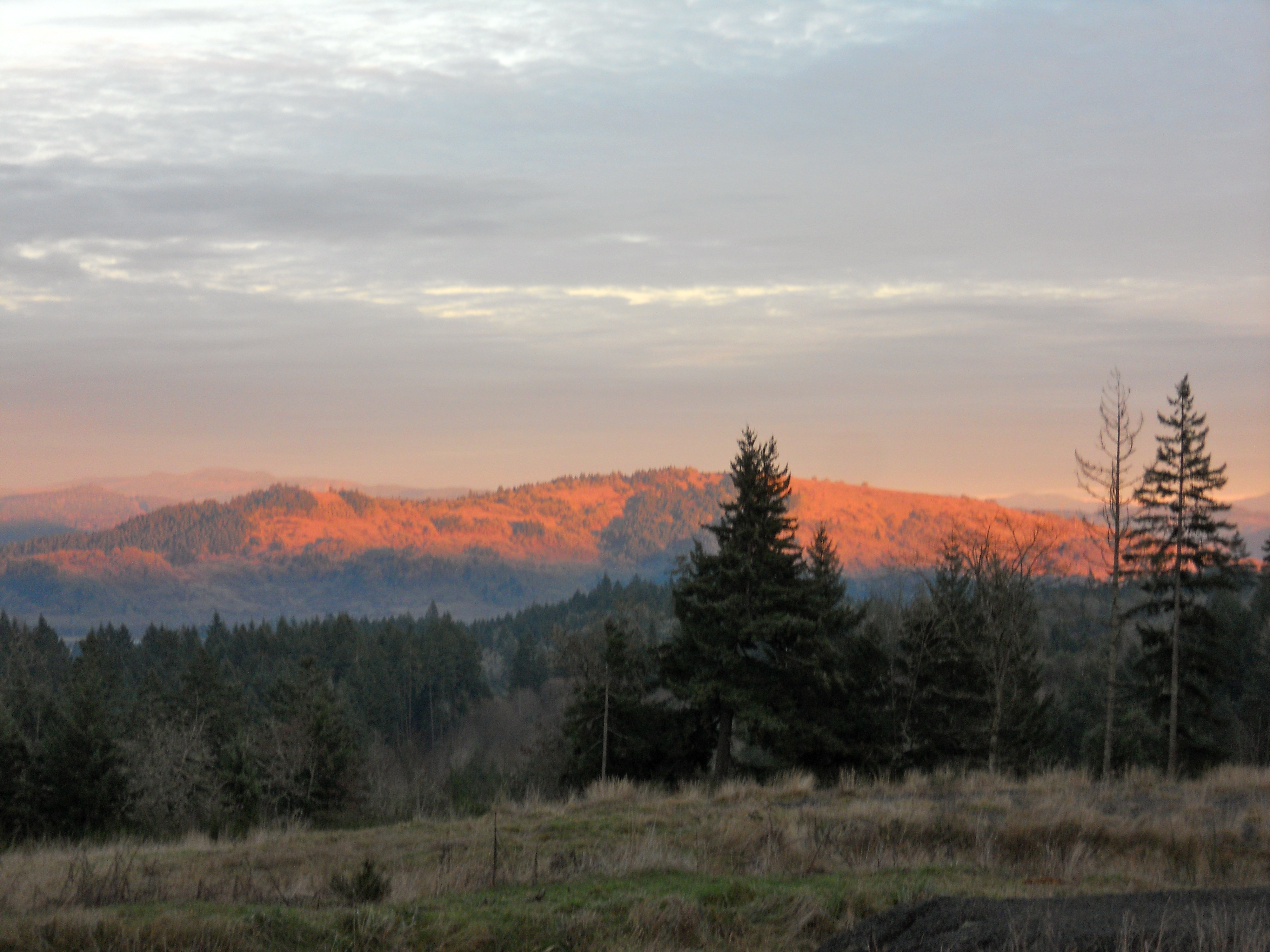
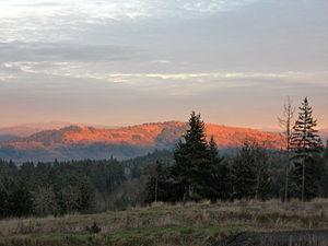 Sunlight on Mount Pisgah at sunset
On December 6, 2006, Lane County approved Wildish's Measure 37 claim, waiving non-exempt offending regulations enacted since Wildish acquired the property. The Oregon Department of Administrative Services has not yet ruled on Wildish's state application. Before any development may happen, Wildish must still receive a waiver from the state, and it must still submit a development application to the county.
References
- ^ Lininger, Tom (8 May 2003). "Fee-for-all: watch out for new fees in lieu of taxes". Eugene Weekly. Retrieved January 20, 2011.
- Lane County government article about the location
- mindat.org, the mineral and locality database
- USGS 1:24000 Topographic Maps
- Lane County government article about parking violation fees
- Lane County government article about park user fees
- Essay at the Friends of Buford Park & Mt. Pisgah
- Opinion in Eugene Register-Guard
Coordinates: 44°00′21″N 122°57′48″W / 44.00583°N 122.96333°W
Categories:- Landmarks in Oregon
- Hills of Oregon
- Landforms of Lane County, Oregon


Wikimedia Foundation. 2010.